|
Subscribe
RSS
Archive
January
February
March
April
May
June
July
August
September
October
November
December
|
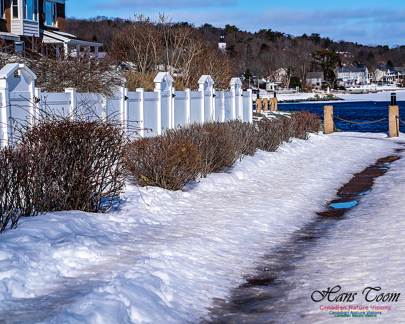
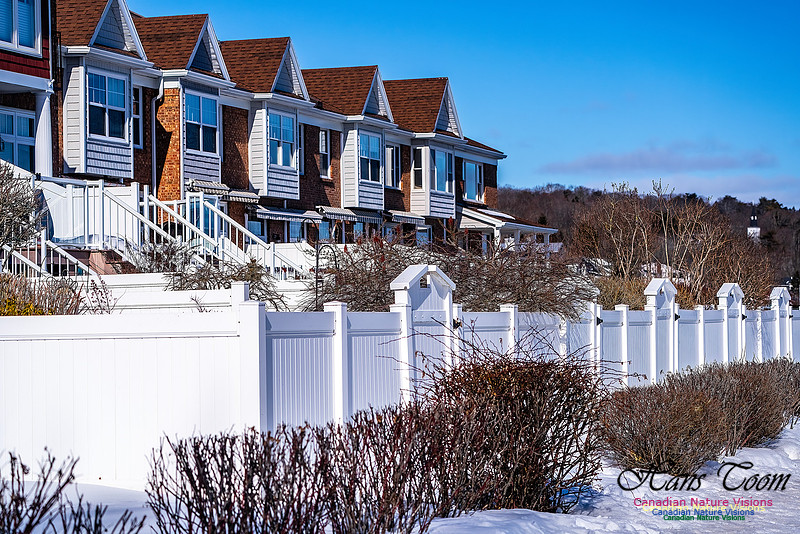
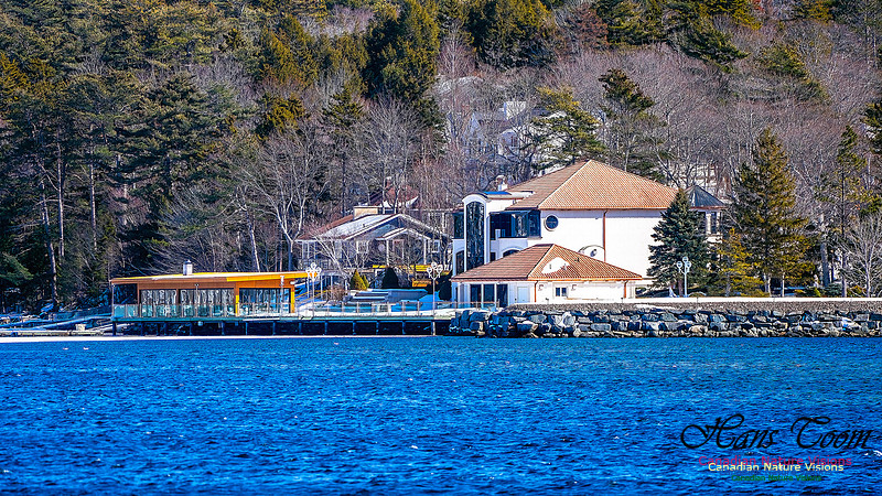
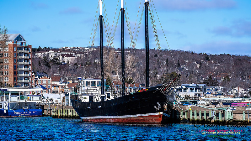
Mill Cove, Bedford, Nova ScotiaMill Cove, Bedford, Nova Scotia I often take walks along the shoreline of Mill Cove. It provides an excellent view of Bedford Basin which served as a major staging area for ships that formed convoys prior to their departure to Great Britain during the Second World War. There are several condominiums along the shore and luxury homes on the opposite bank. Courtesy Wikipedia Geographically, the basin is situated entirely within the Halifax Regional Municipality (HRM) and is oriented northwest–southeast, measuring approximately 8 kilometres (5 mi) long and 5 kilometres (3 mi) wide, surrounded by low hills measuring up to 160 metres (520 ft) in elevation, although most elevations range up to 30–60 metres (100–200 ft). The basin is fed by water from the Sackville River and has a maximum depth of 71 metres (233 ft);[1] The basin's geologic history can be traced to the Wisconsin Glaciation when it, along with "The Narrows", formed part of the pre-historic Sackville River valley.[2]Geographically, the basin is situated entirely within the Halifax Regional Municipality (HRM) and is oriented northwest–southeast, measuring approximately 8 kilometres (5 mi) long and 5 kilometres (3 mi) wide, surrounded by low hills measuring up to 160 metres (520 ft) in elevation, although most elevations range up to 30–60 metres (100–200 ft). The basin is fed by water from the Sackville River and has a maximum depth of 71 metres (233 ft);[1] The basin's geologic history can be traced to the Wisconsin Glaciation when it, along with "The Narrows", formed part of the pre-historic Sackville River valley.[2] Though inhabited by the Mi'kmaq and the French having known of the site since the 17th century, the basin was named for John Russell, 4th Duke of Bedford, who was the British Secretary of State for the Colonies when Halifax was founded in 1749.[10] The North American station of the Royal Navy was based just outside the entrance of the basin from 1759 to 1905, at the Royal Naval Dockyards. The naval base served as the station's headquarters until 1818, when it became the summer headquarters of the station. Defences were built around the approach towards the basin's entrance, with the construction of the York Redoubt at Ferguson's Cove, as well as fortifications on Georges Island, and McNabs Island. These defences were a part of the Halifax Defence Complex. In 1907, the Royal Naval Dockyards was transferred to the Government of Canada, and continues to operate as CFB Halifax. .jpeg)
The basin played a key role during the First and Second World Wars when commercial shipping was being attacked by enemy submarines. Given the size of the Port of Halifax, and its vicinity to Europe in contrast to other North American ports, the basin was used as an assembly point for transatlantic convoys bound for Europe. With defences built just outside of the only access point into the basin (a strait called The Narrows), it provided a safe place to assemble convoys consisting of hundreds of merchant ships and their escorts in relative security, while torpedo nets kept submarines at bay. In December 1917 the basin was the site of the Halifax Explosion, where two ships collided in the basin causing an explosion that levelled most of the surrounding area.[11] In 1994, the defences that protected Bedford Basin were designated a National Historic Site of Canada, commemorating the assembly of convoys in Bedford Basin during the Second World War.[12] In 2010, on the 100th anniversary of the Royal Canadian Navy, a plaque was unveiled at Bedford Lake, Griesbach, Edmonton, Alberta, in recognition of the role played by Bedford Basin in the world wars.[13]
Keywords:
Nova Scotia,
Bedford,
Bedford Basin,
Canada,
Halifax,
Mill Cove,
Motor Sailer Silva,
Nova Scotia

Comments
No comments posted.
Loading...
|