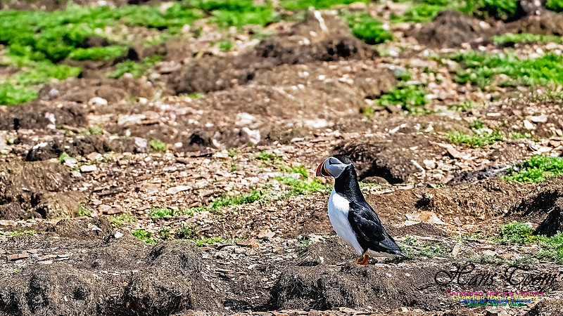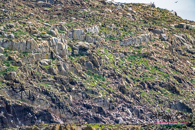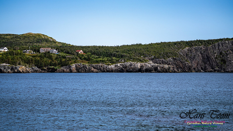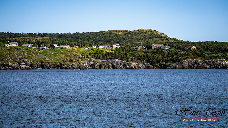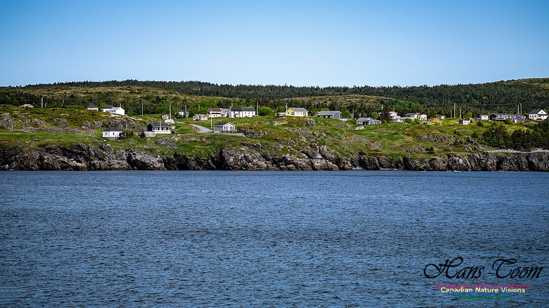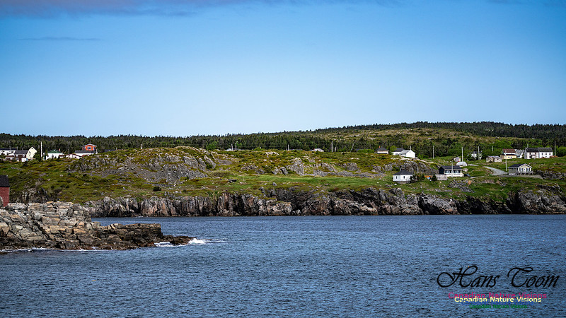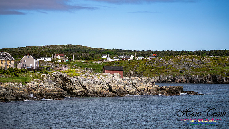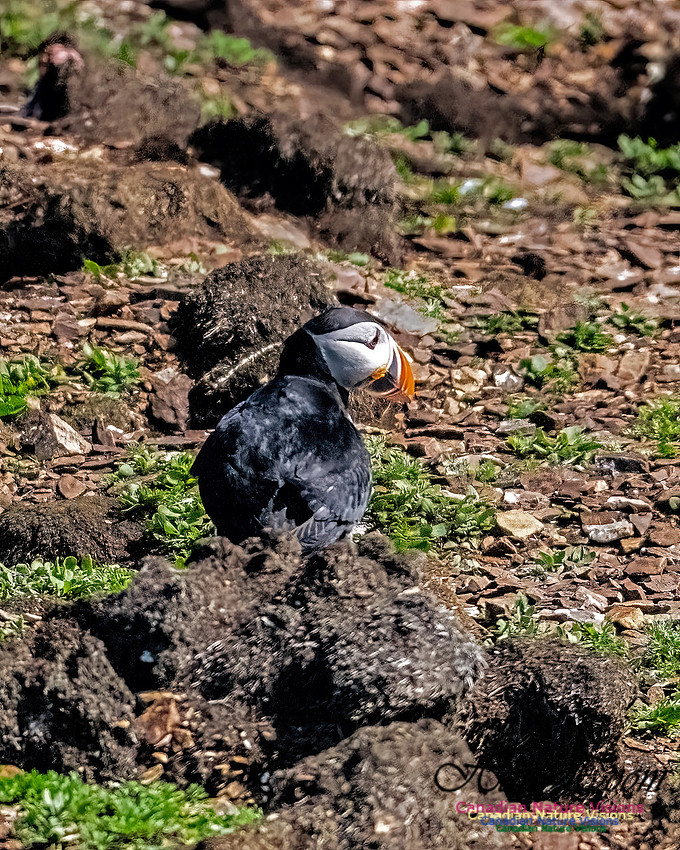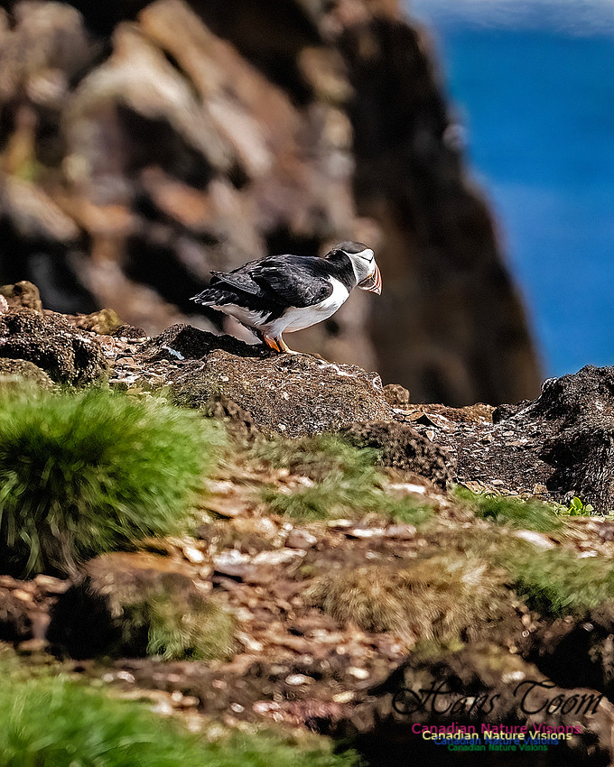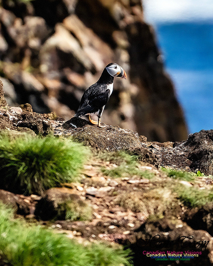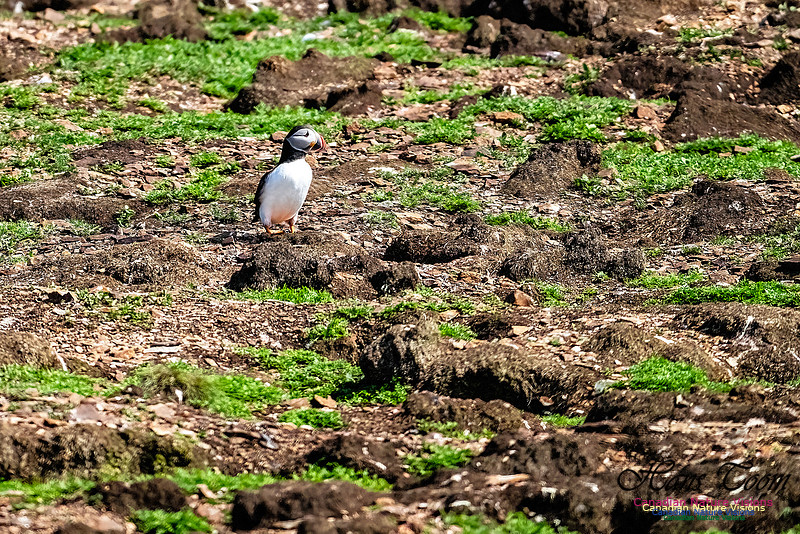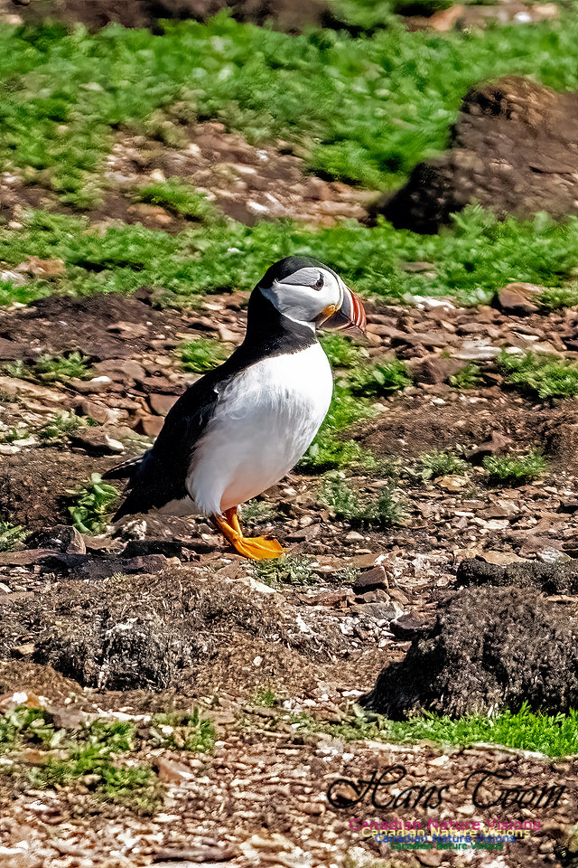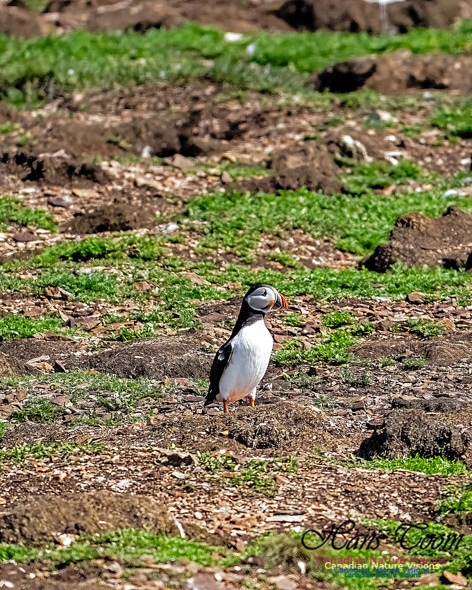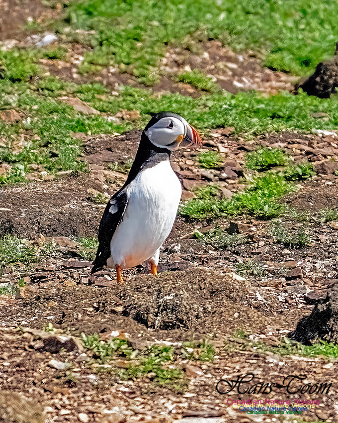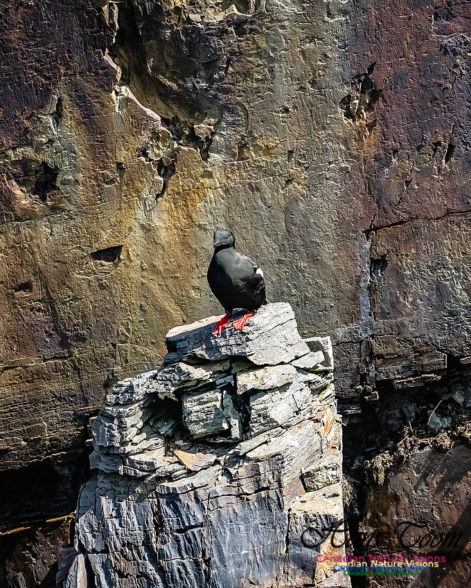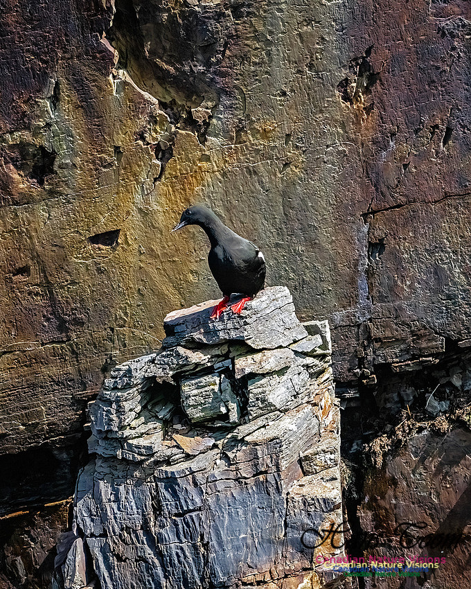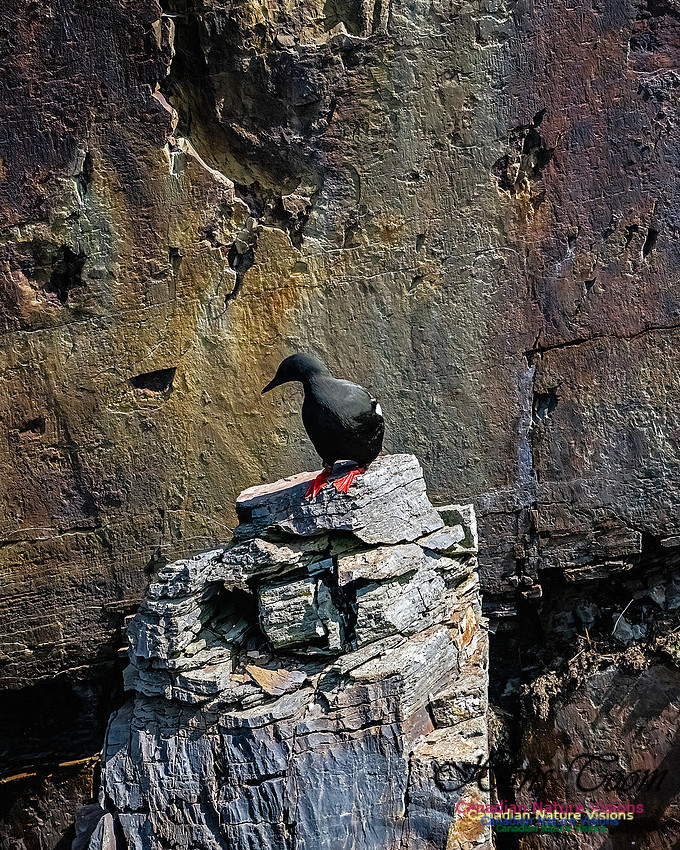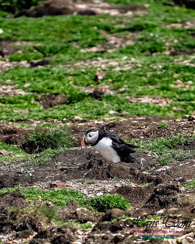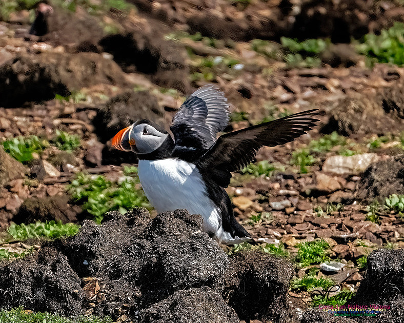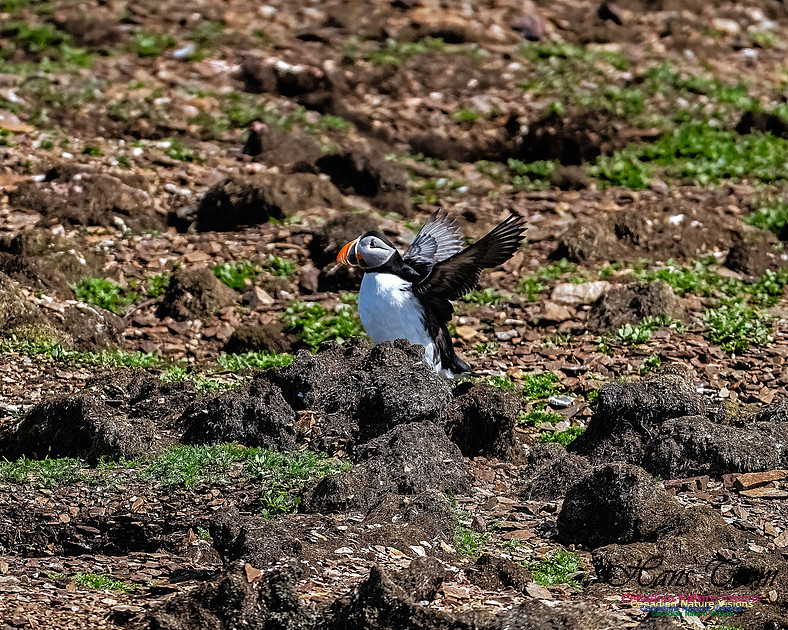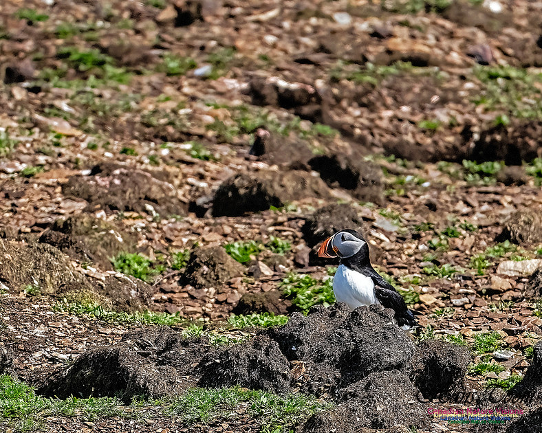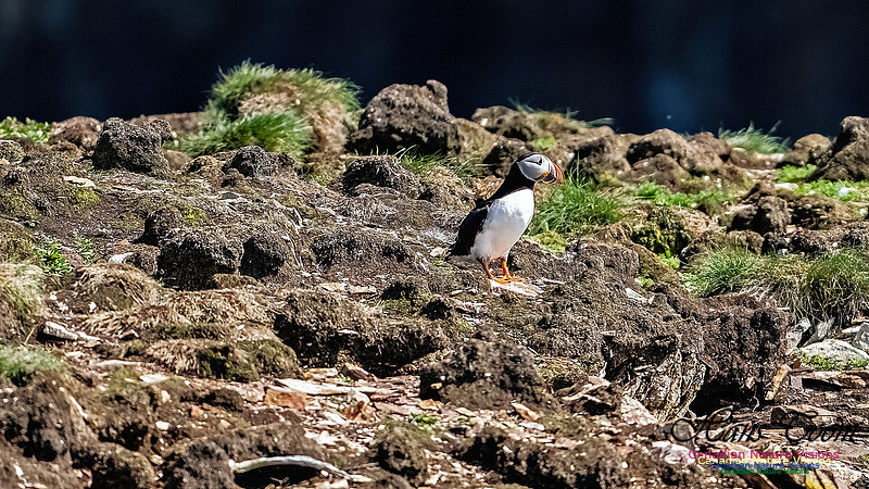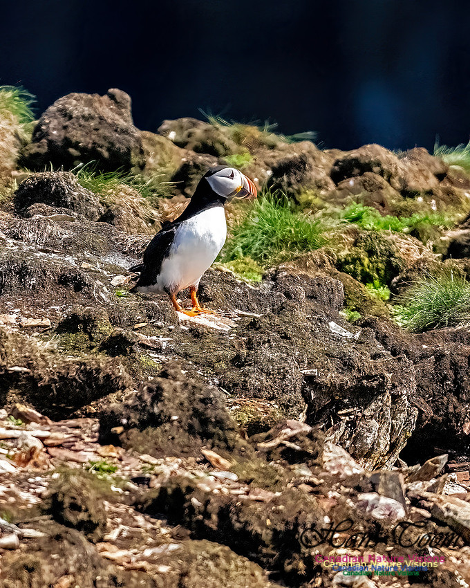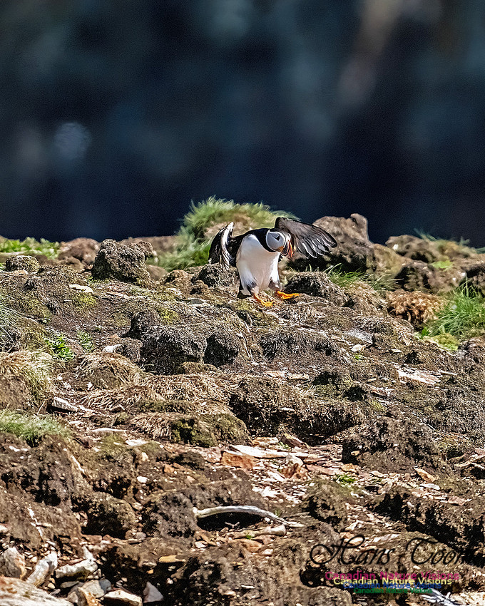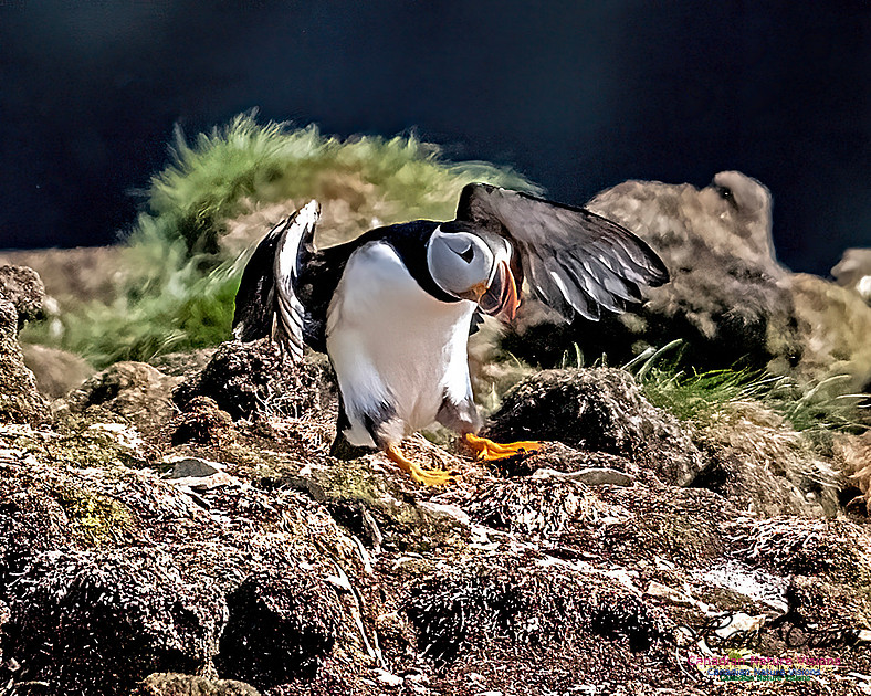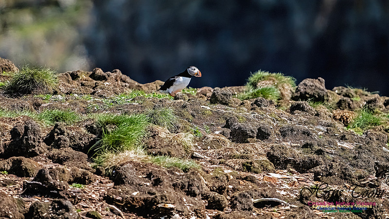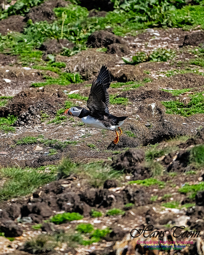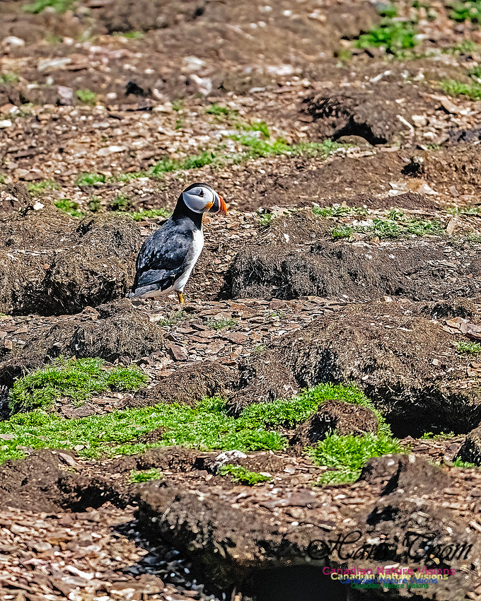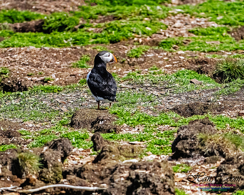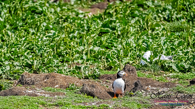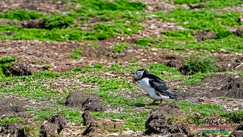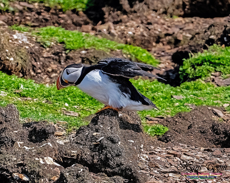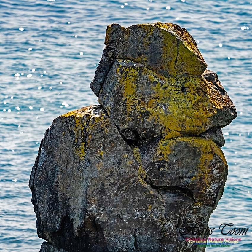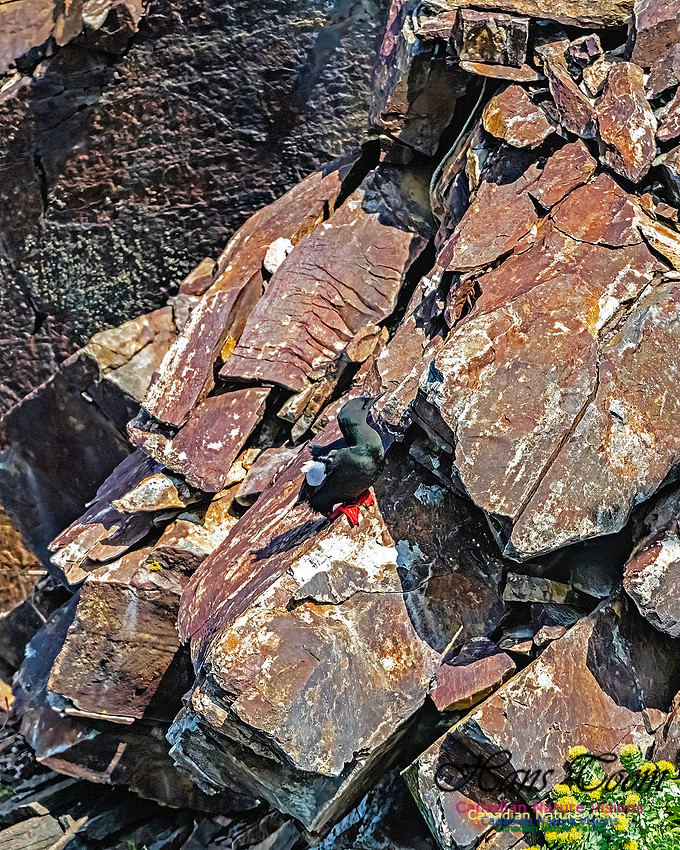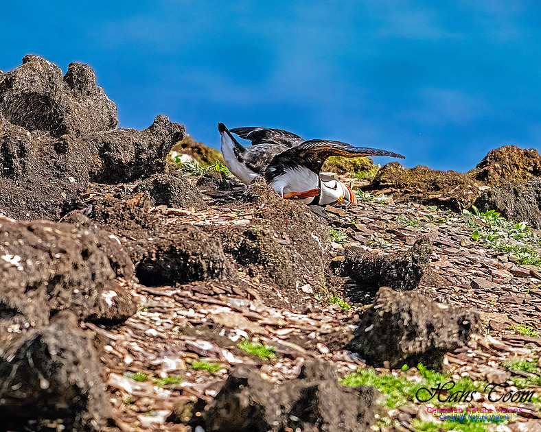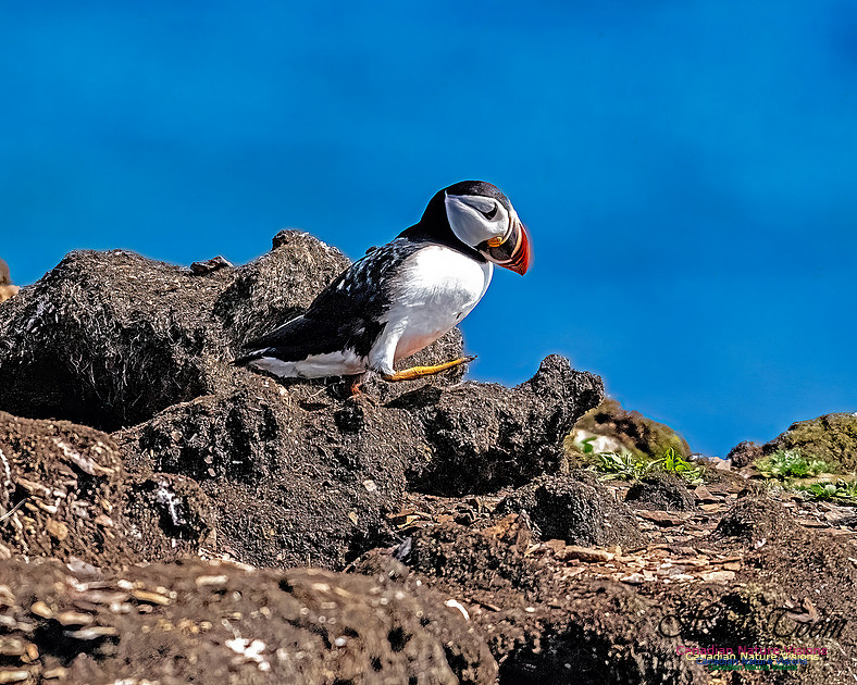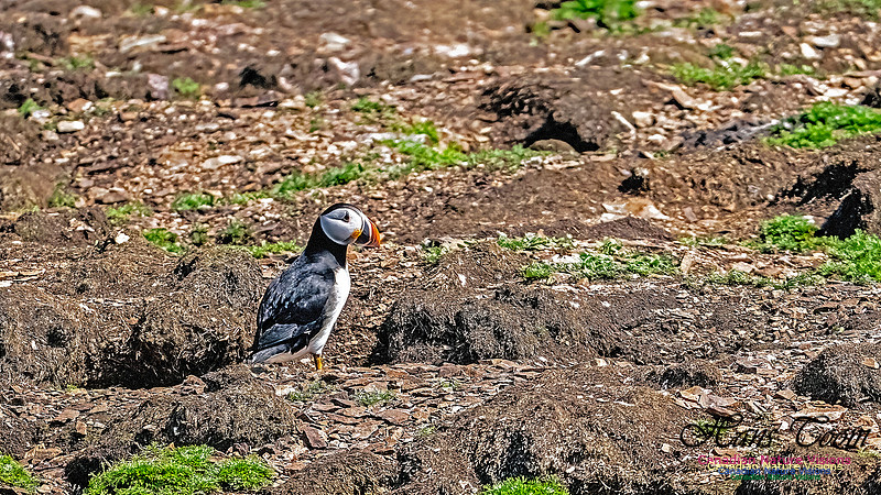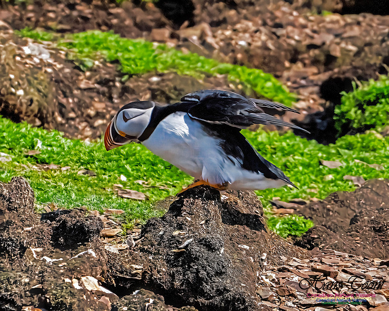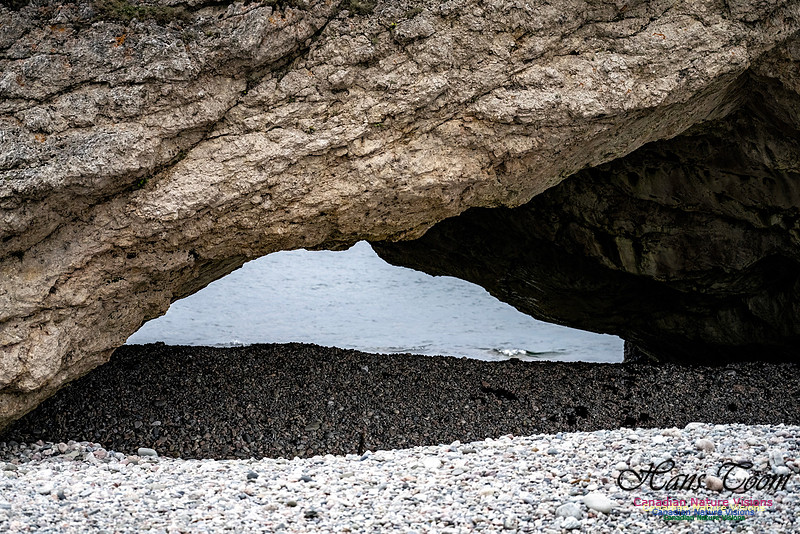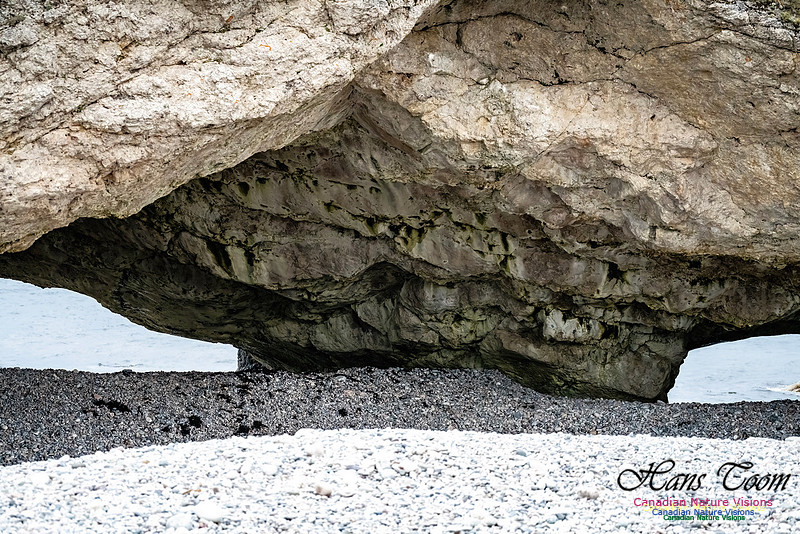



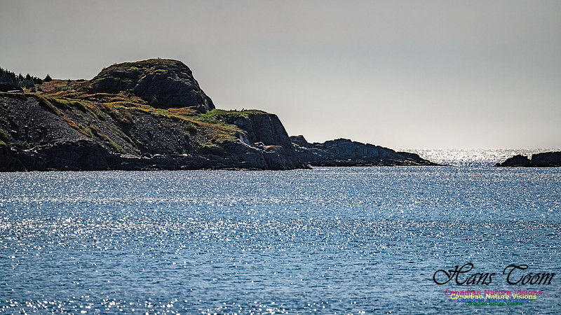
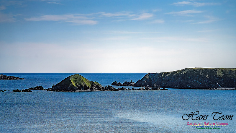
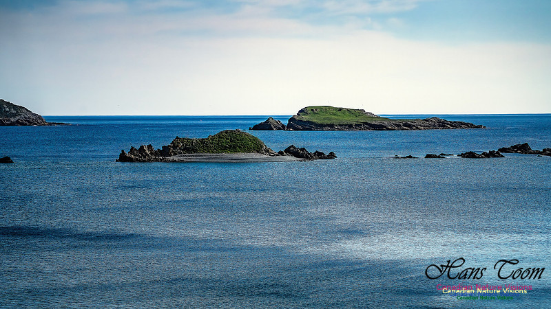
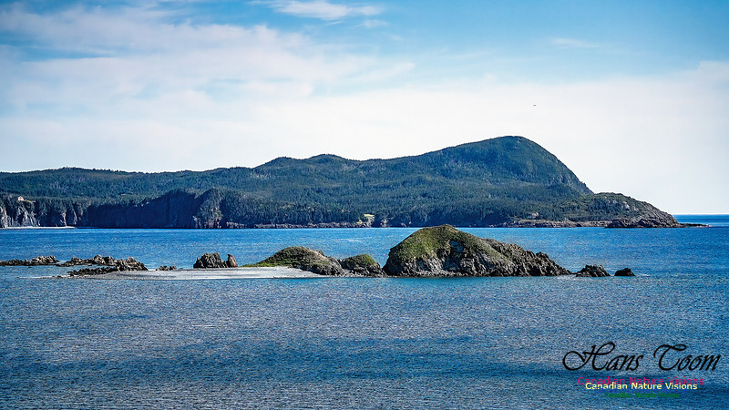
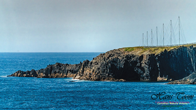
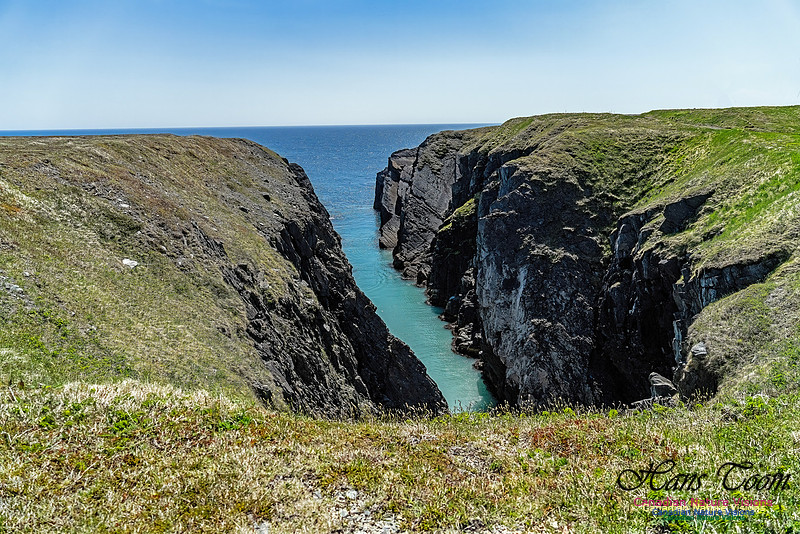
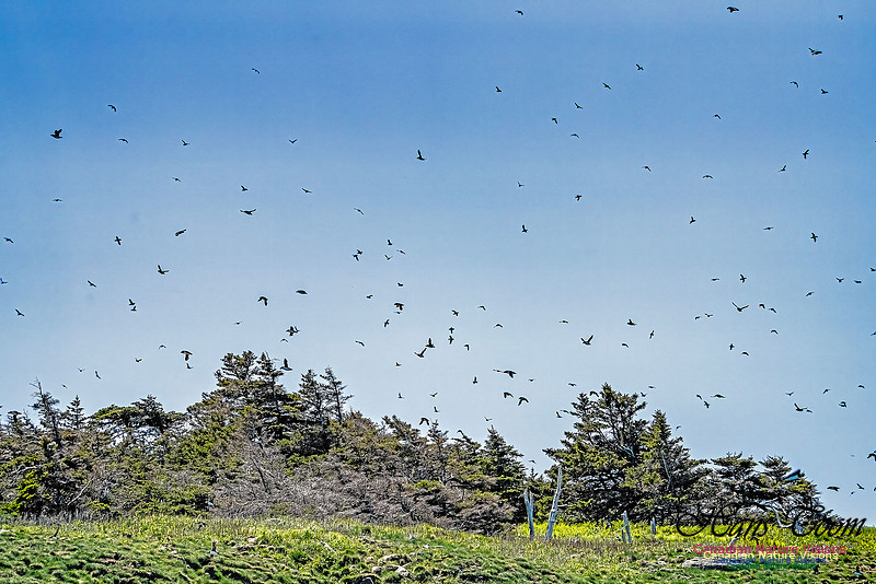
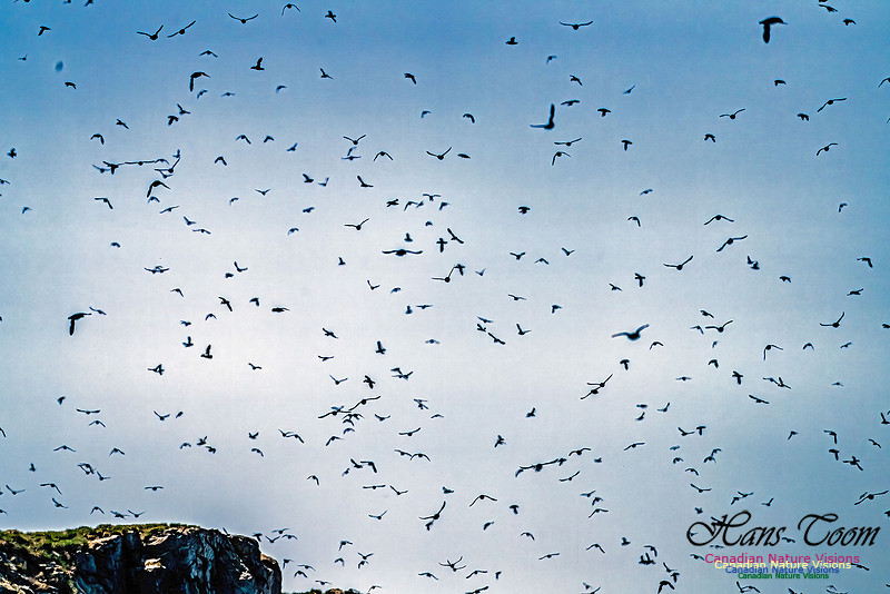
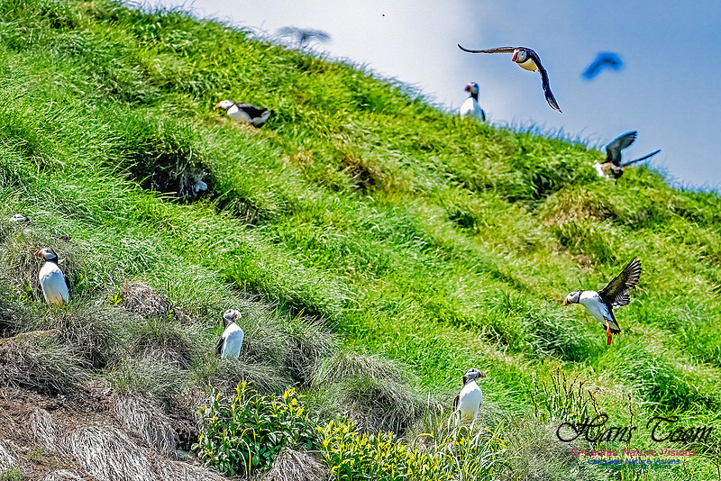
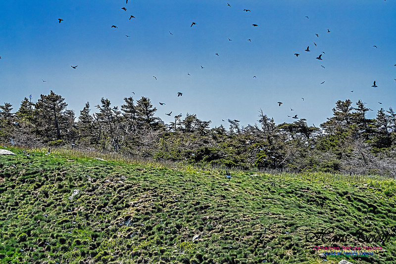
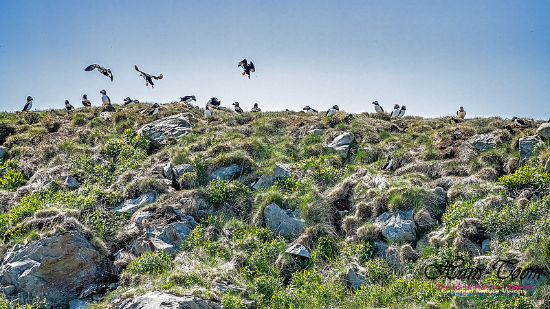
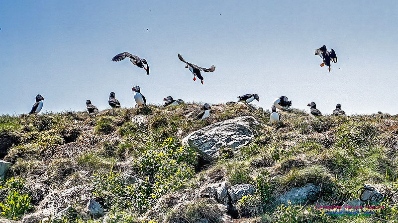
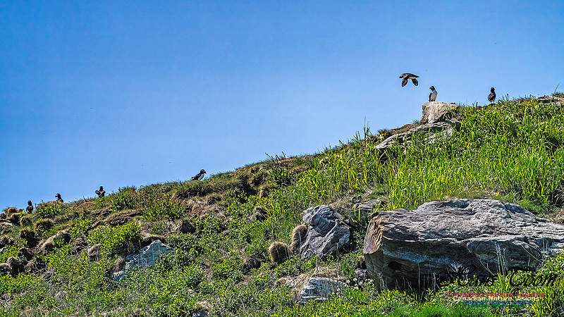
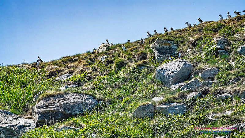
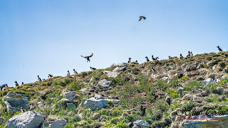
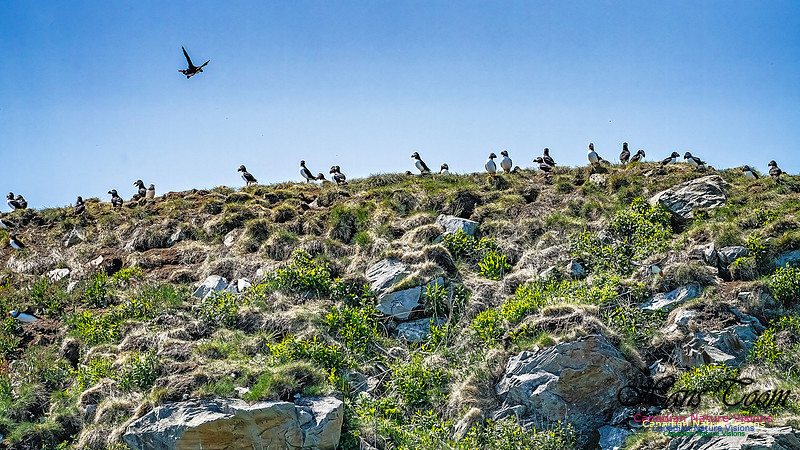
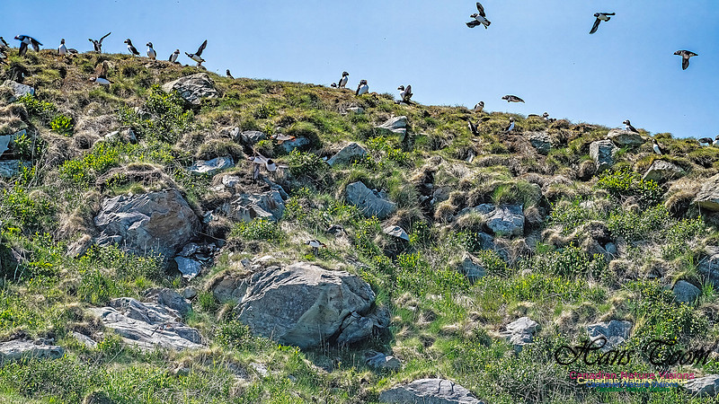
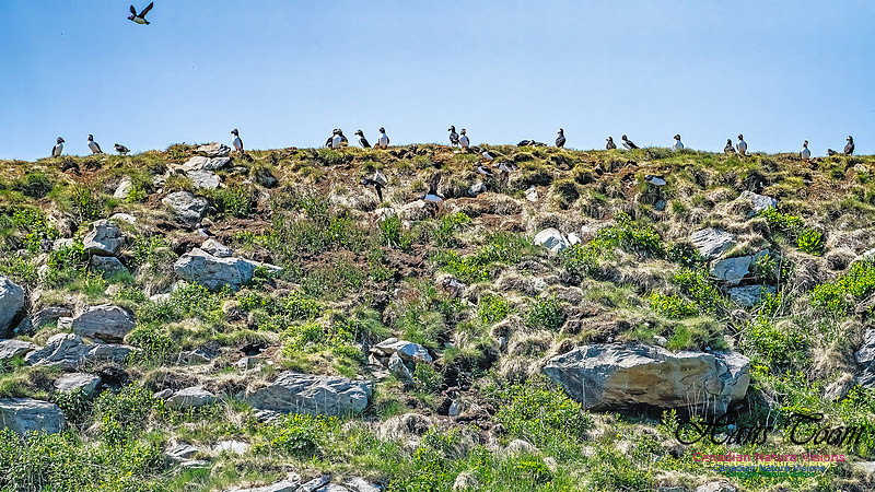
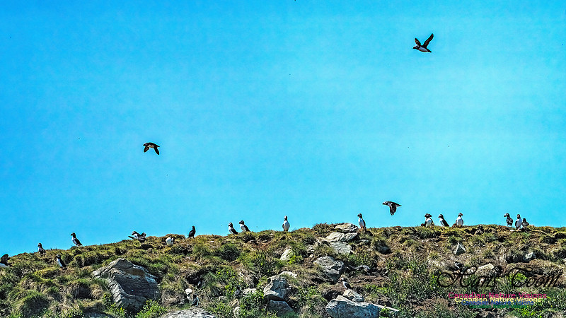
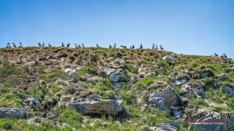
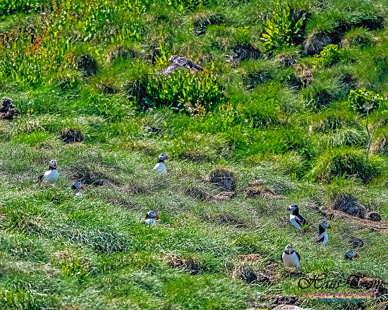
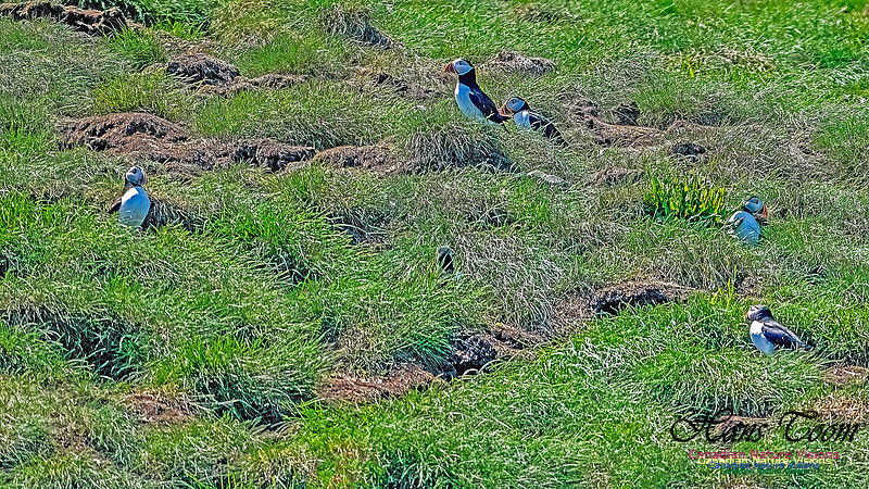
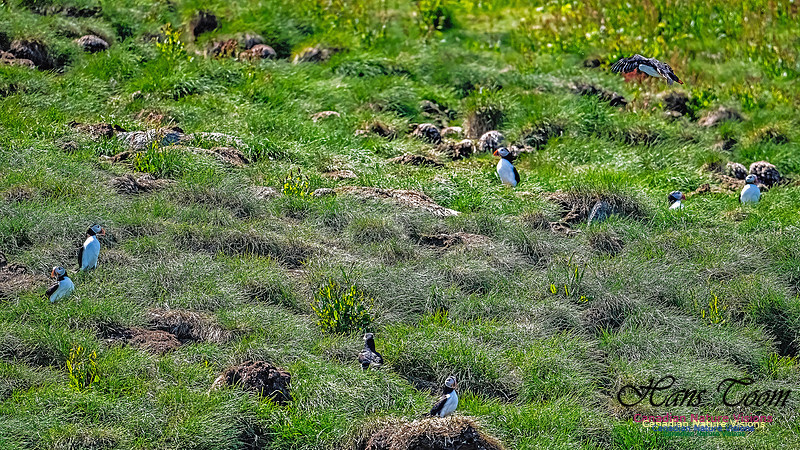
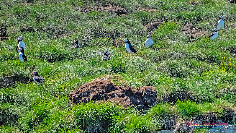
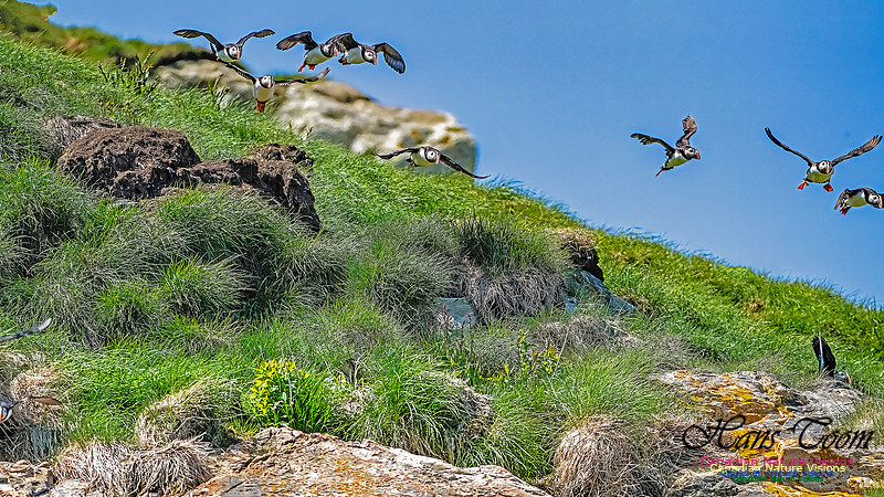
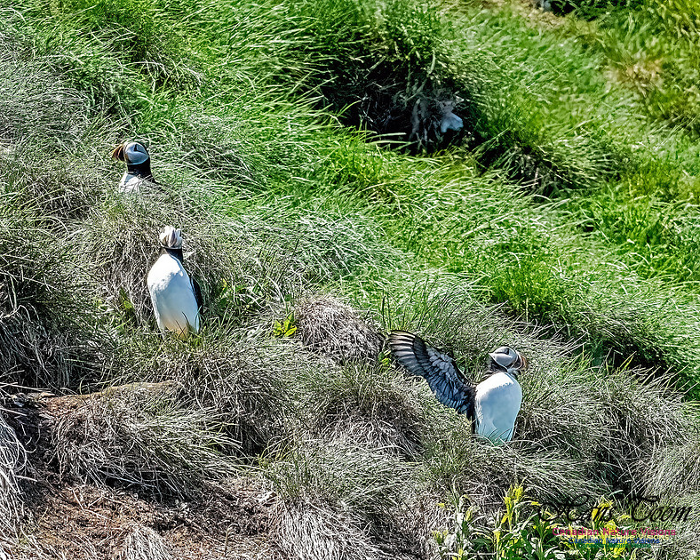
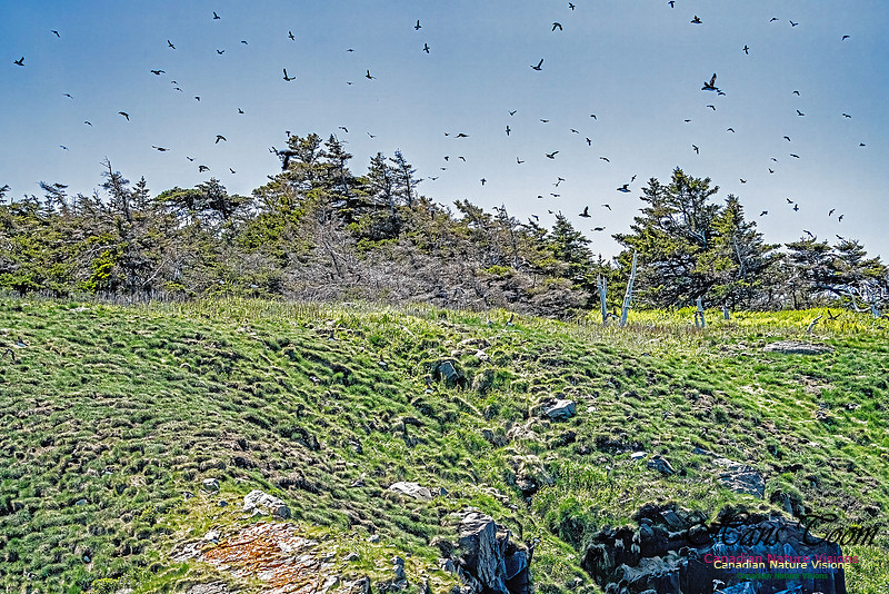


Atlantic Puffin

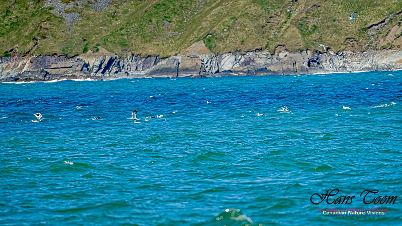
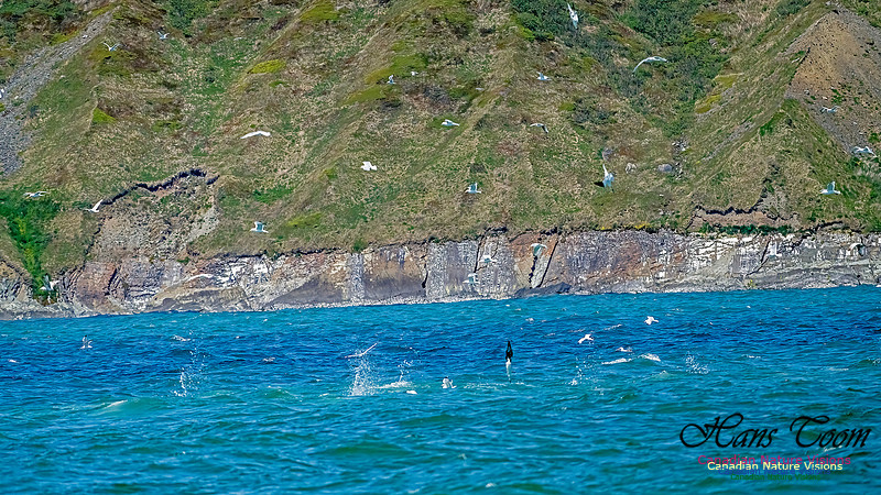
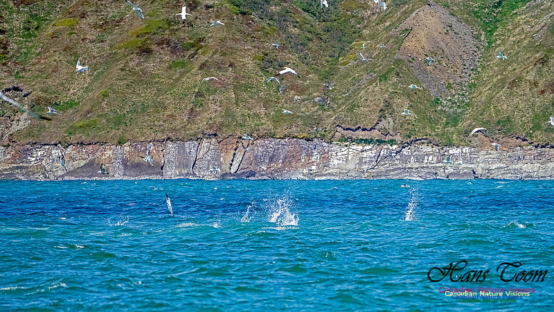
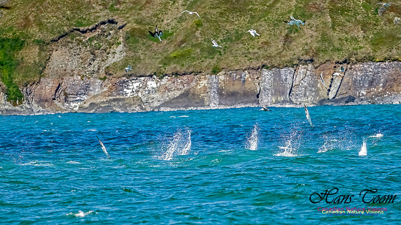
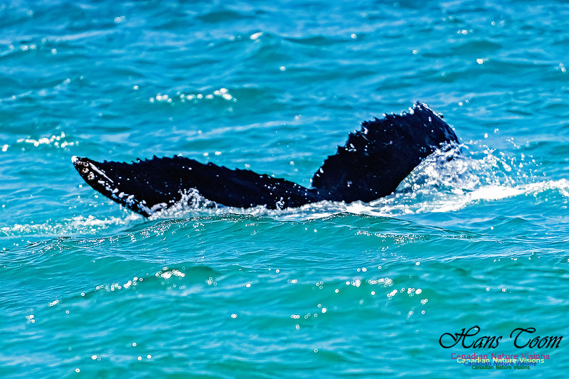
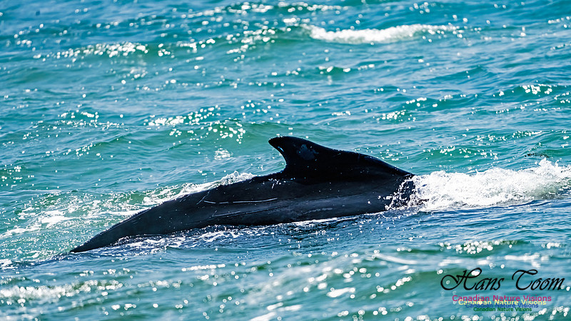
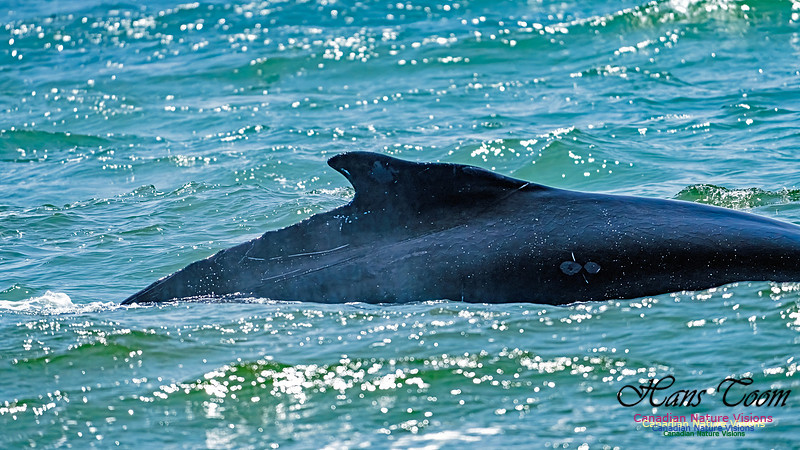
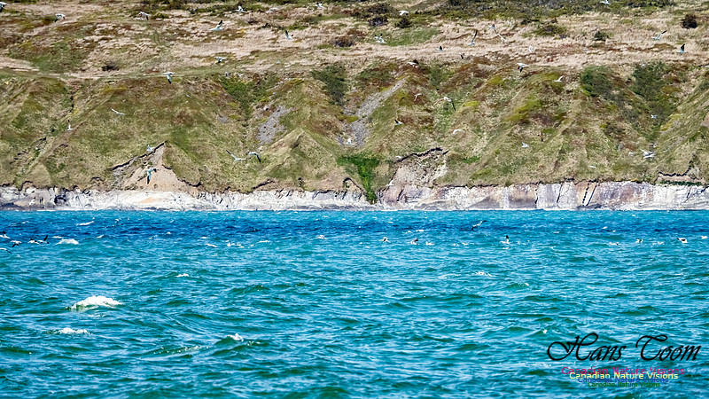
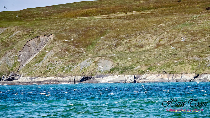
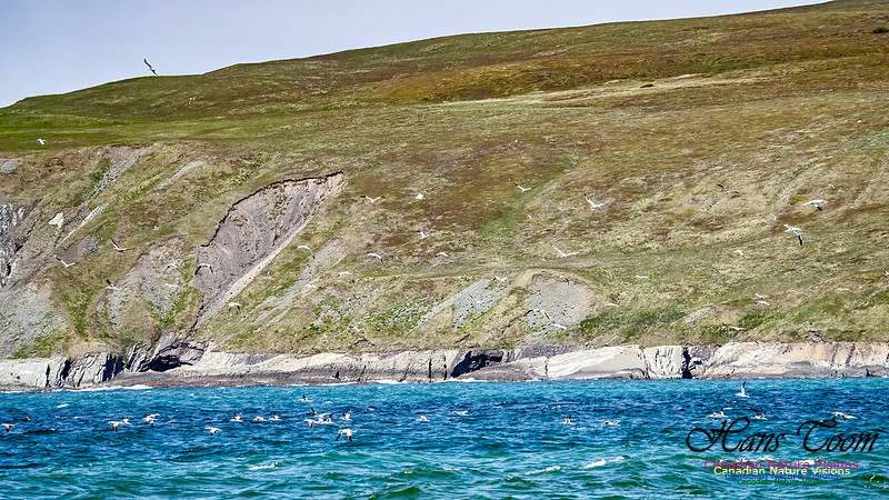
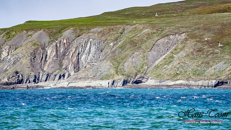
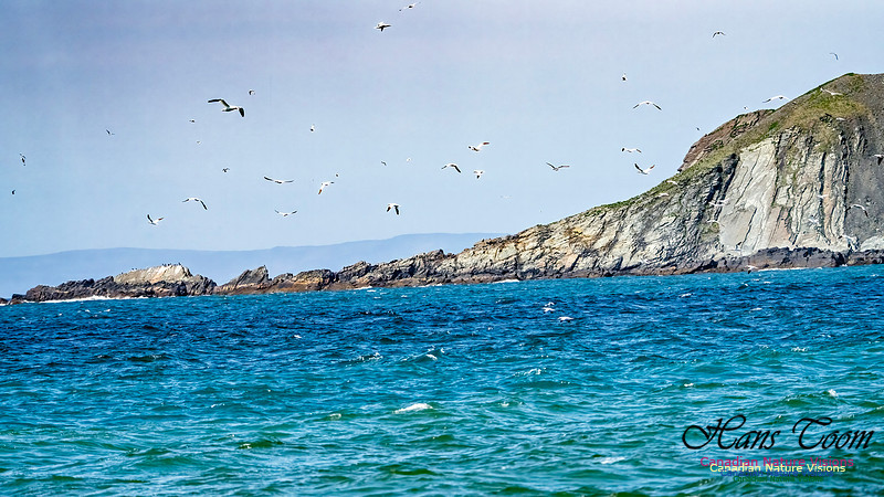
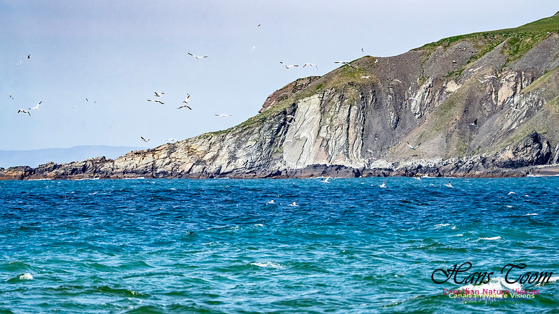
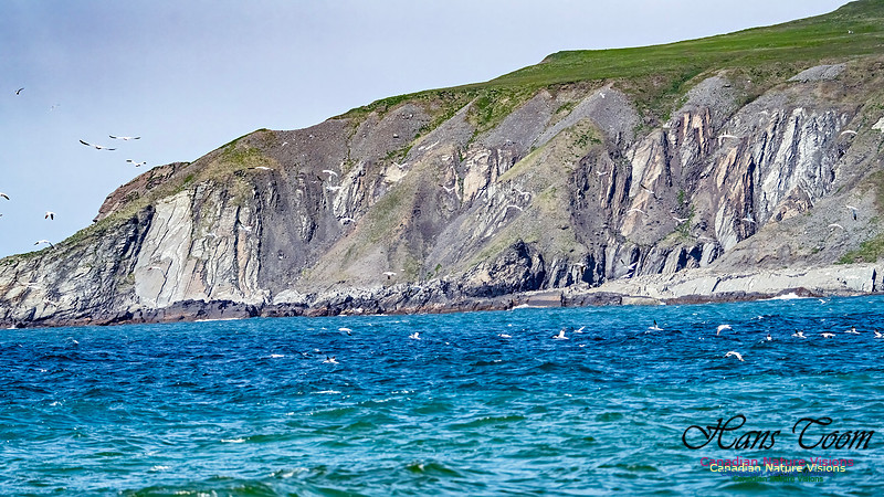
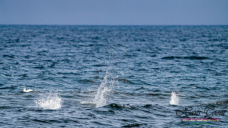
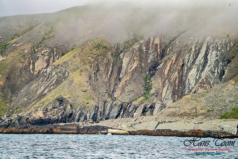
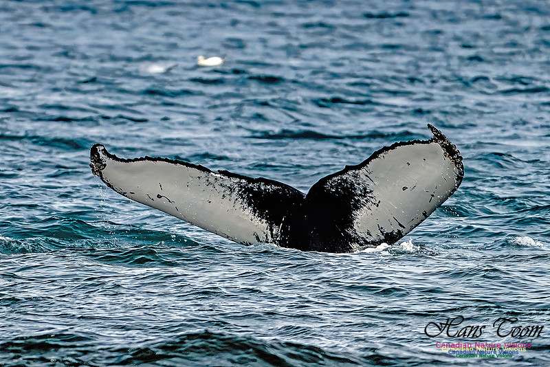
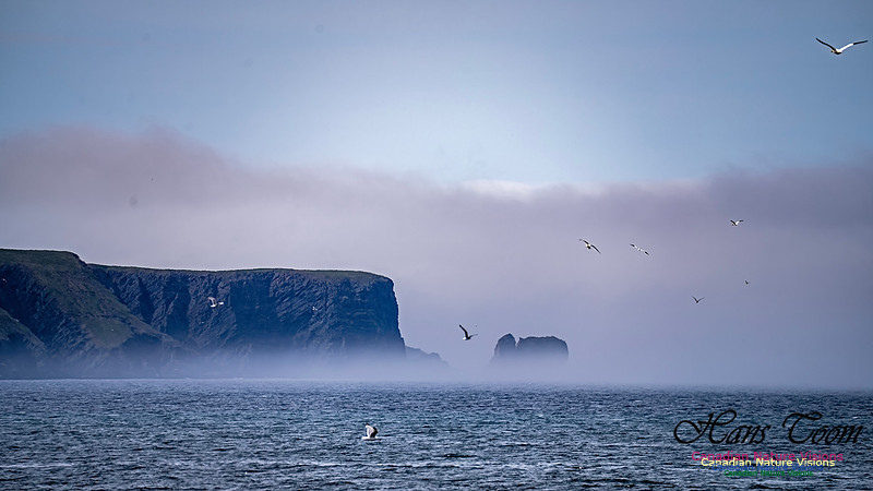
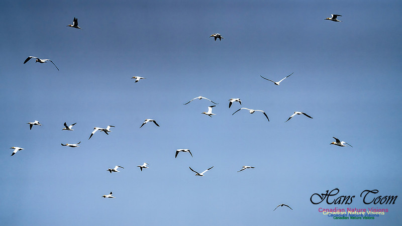
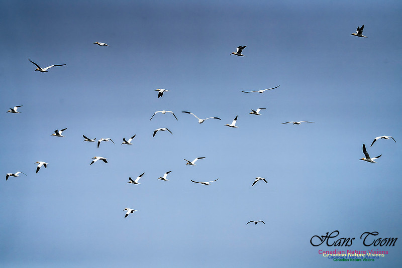
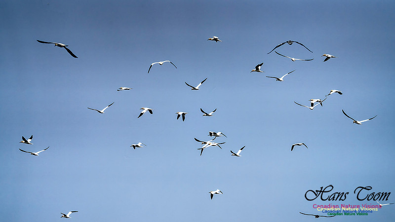
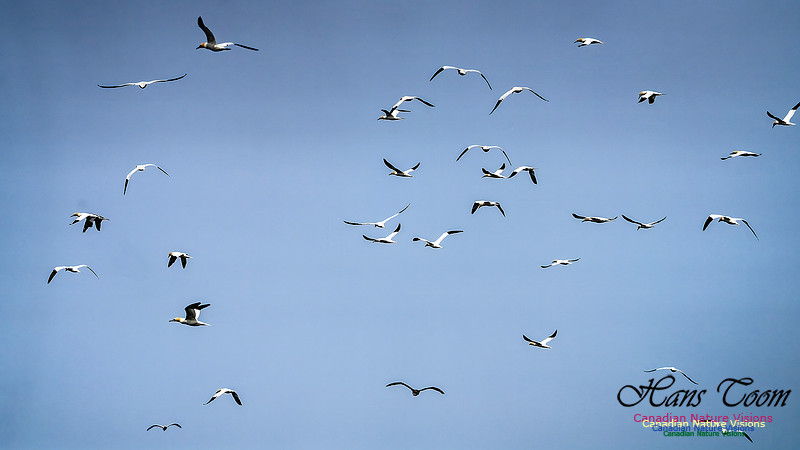
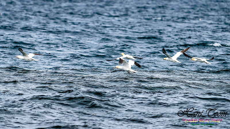
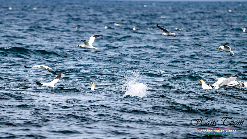
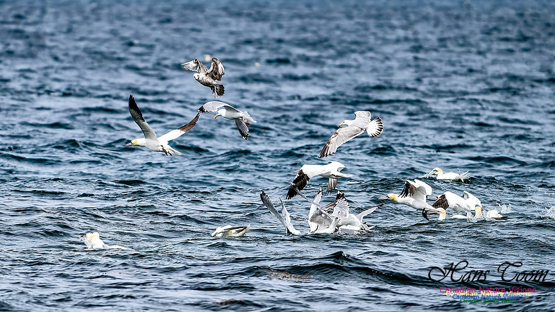
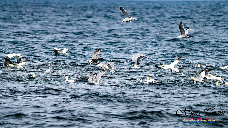
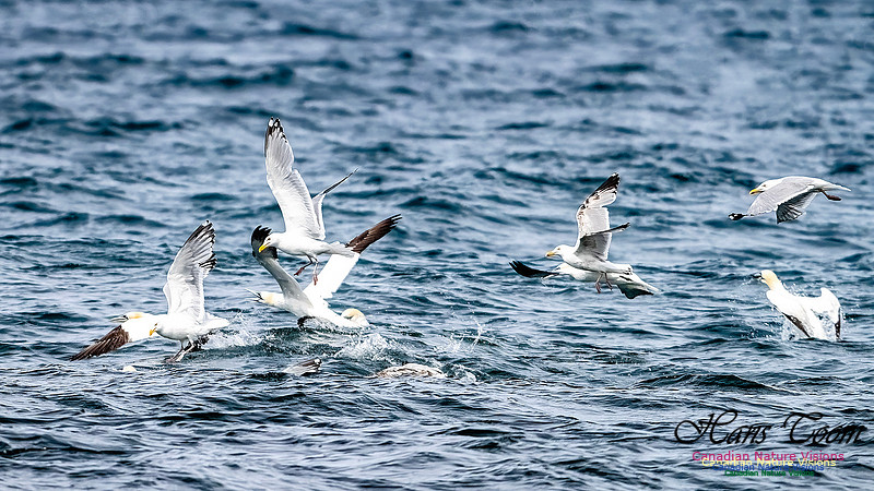
Newfoundland Adventure 2025-St. Vincent Whales and Northern GannetsI was driving the Irish Loop on the west side of the Avalon Peninsula where I spotted a bunch of motor homes parked facing the ocean. This was new to me although I have driven this route previously. I found out that this beach is renowned for whales, humpback whales, at play or so it seems. I saw no prey species like capelin although there were hundreds of Northern Gannets and Herring Gulls working the area. The Northern Gannets hit the water like darts. This is a place well worth visiting again. Beware the steep fall off where the beach meets the ocean. St-Vincent-whales-and-northern-gannets
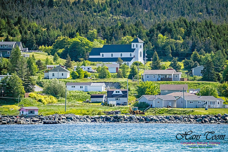
Courtesy By Cailin O'Neil for Newfoundland & Labrador St. Vincent’s beach is located at the bottom of the Avalon Peninsula along the Irish Loop Route. Direct from St. John’s, it is 134km or a (1hr 50min) drive away on route 90 or 181km (2.5hrs) if you take the leisurely route clockwise along the coast on route 10. How to Get to St. Vincent’s BeachThe only way to get to St. Vincent's beach is by driving. There currently aren’t any tours or public transportation options available to take you to the area. There are however a few things to see and do along the way so plan to make a day trip out of your visit or even consider spending the night at a nearby Bed and Breakfast. Where to see the whales at St. Vincent’s BeachThe dramatic coastline of St. Vincent's Beach Locals say that whales can be seen year round at St. Vincent’s Beach but the most popular time is in the summer months. You are almost guaranteed to see the humpback whales when the capelin are spawning and rolling. There are local facebook pages that post when that is happening that you can follow. What to bring with you to St. Vincent’s BeachIn the summer months at St. Vincent’s Beach the weather can be variable, spontaneous even. However under those varied weather conditions you can still get a sunburn so be sure to bring sunscreen lotion and a hat. The beach is basically all rock and pebbles so it is a good idea to bring closed toe footwear for walking along the shore. Also a fold-up chair to sit on while waiting to see the whales or at the very least a blanket or towels to sit on. Another good idea is to bring water and snacks or even a picnic lunch. Incredible coastline What to see and do on the way to St. Vincent’s BeachThe most enjoyable way to get to St. Vincent’s Beach is driving clockwise the long way around the bottom of the Avalon Peninsula from St. John’s on route 10. There are several great places to stop along the way for scenic hikes, photo opportunities and more. This is the kind of drive where you see beautiful things and stop and check them out along the way at your leisure. Titanic exhibit at the Myrick Wireless Interpretation Centre Located by the Cape Race Lighthouse you must also visit the Mistaken Point Ecological Reserve Interpretation Centre. Here you can learn about Mistaken Point, which is famous for fossils dating back over 565 million years. --- St. Vincent Whales and Northern Gannets
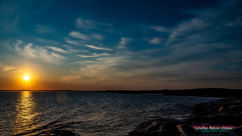
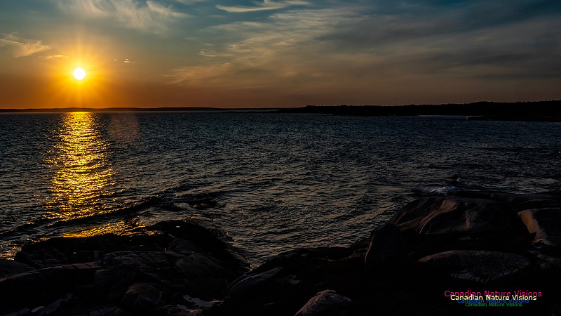
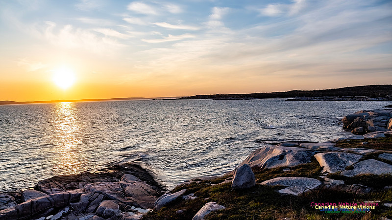
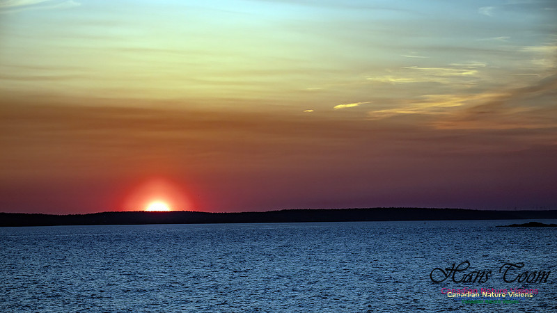
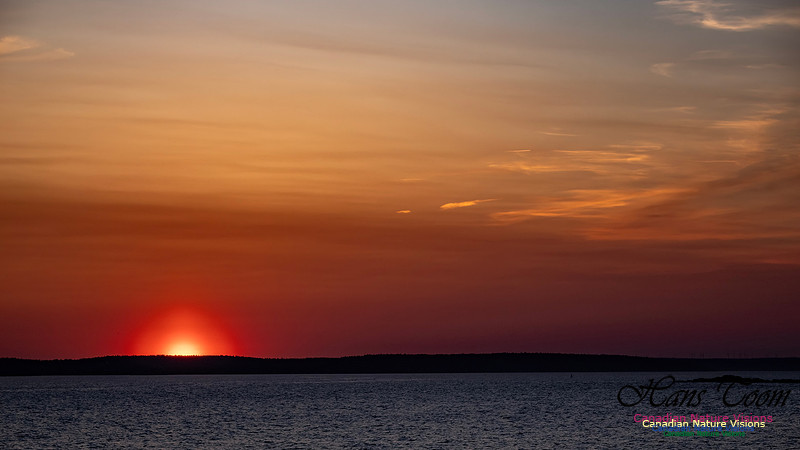
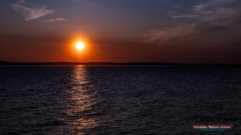
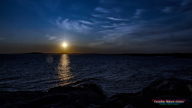
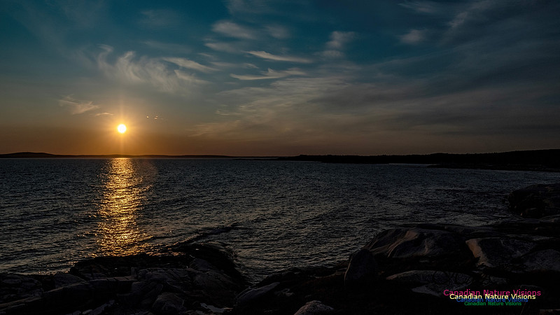
Newfoundland Adventure 2025-Baccalieu Coastal DriveI took the Baccalieu Coastal Drive, a rather long loop. I stopped for the night at a large sandy foreshore bank packed hard from years of use. It afforded me the first and only sunset photos of the trip. Baccalieu Coastal Drive
Yours, cheap!
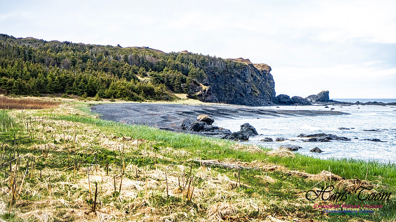
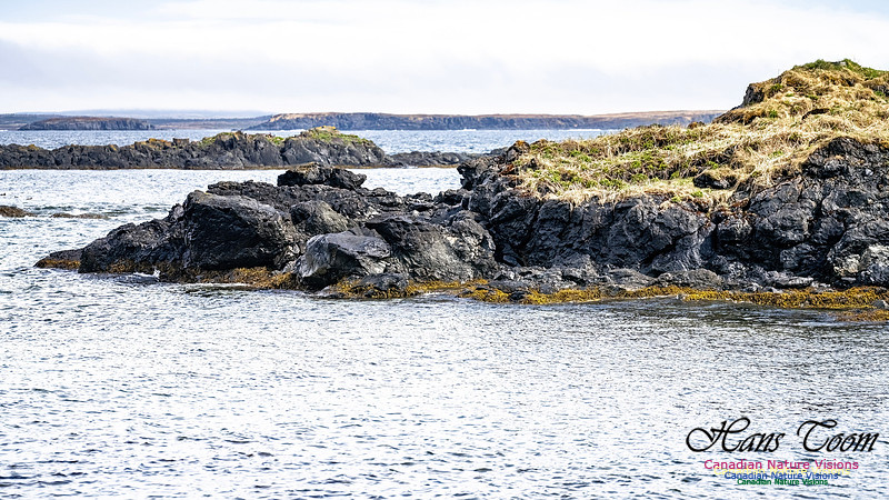
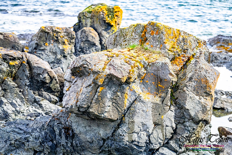
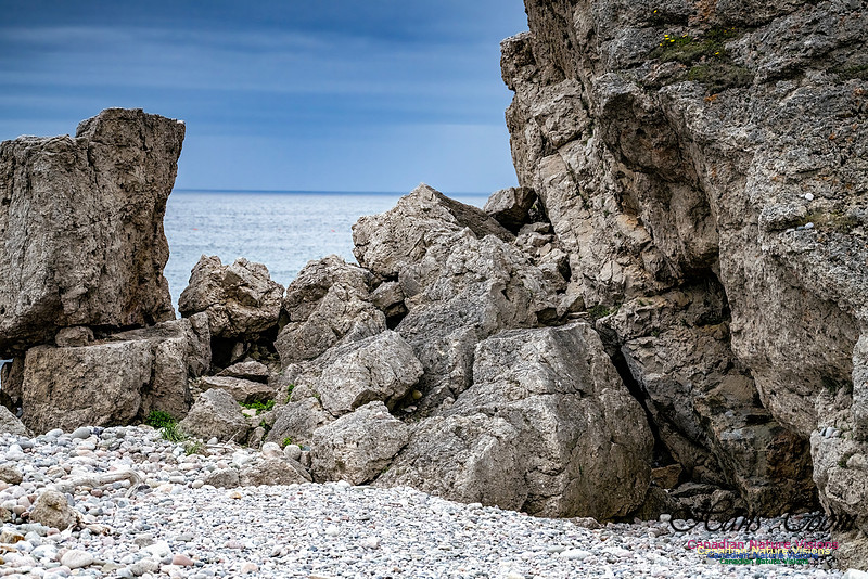
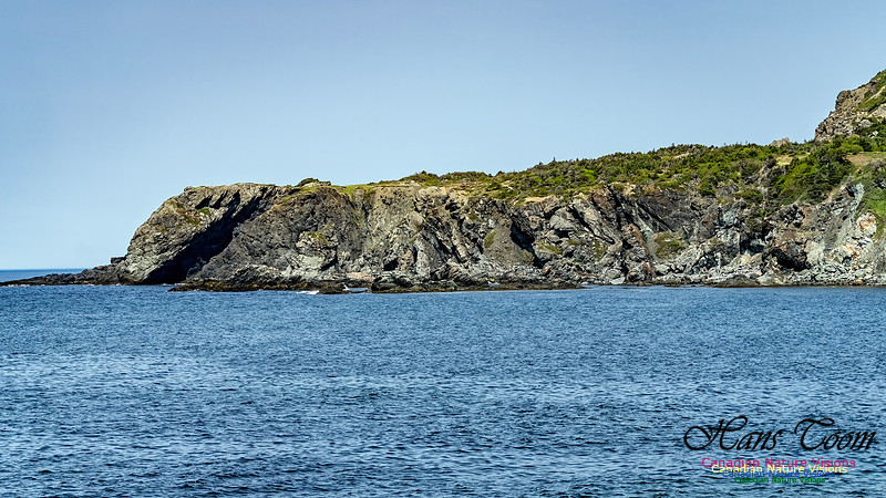
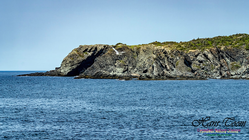
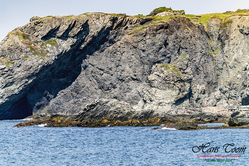
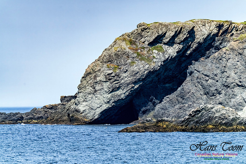
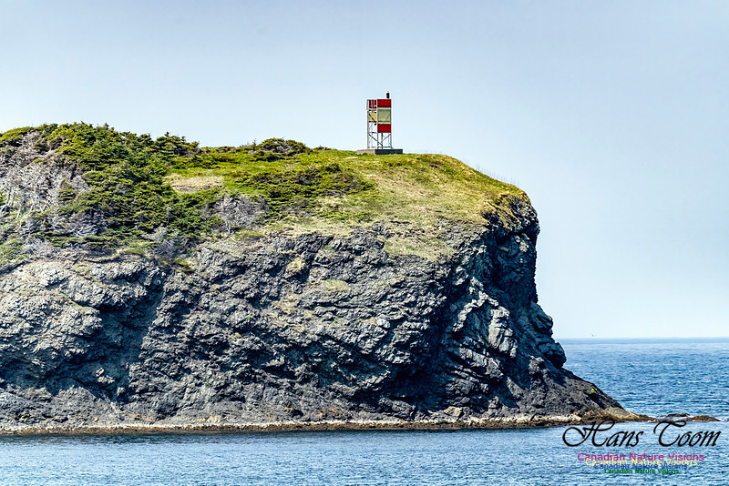
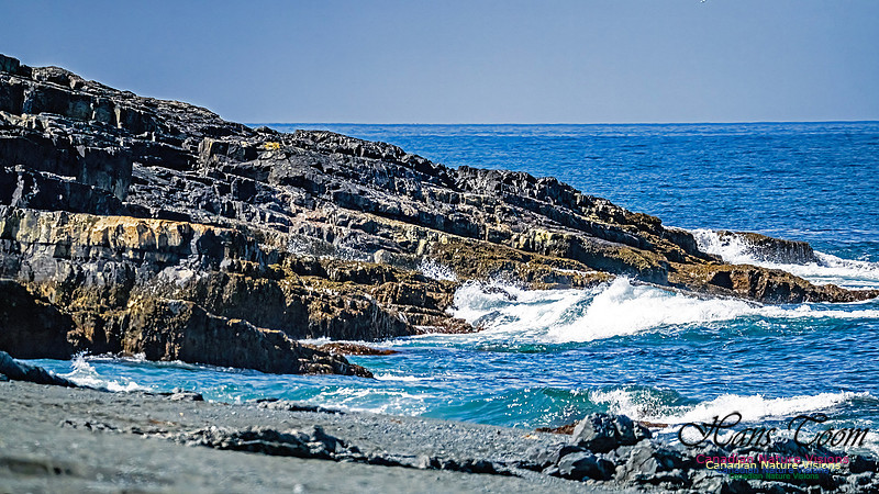
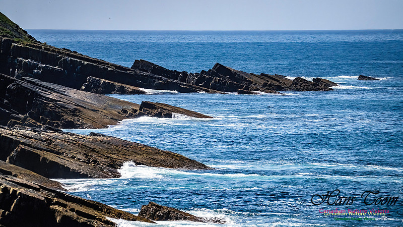
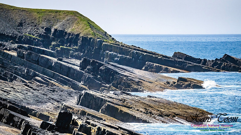
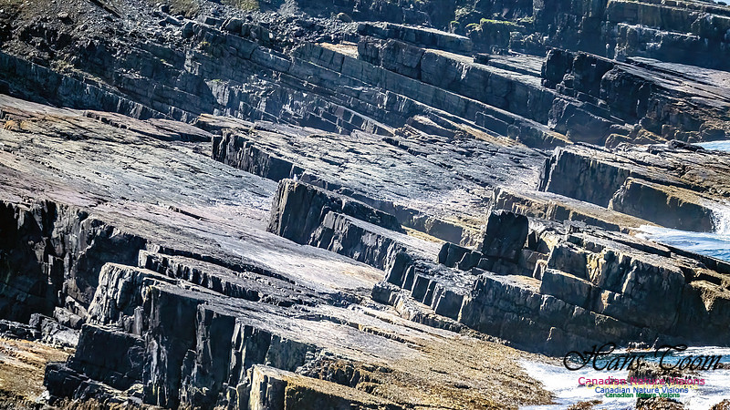
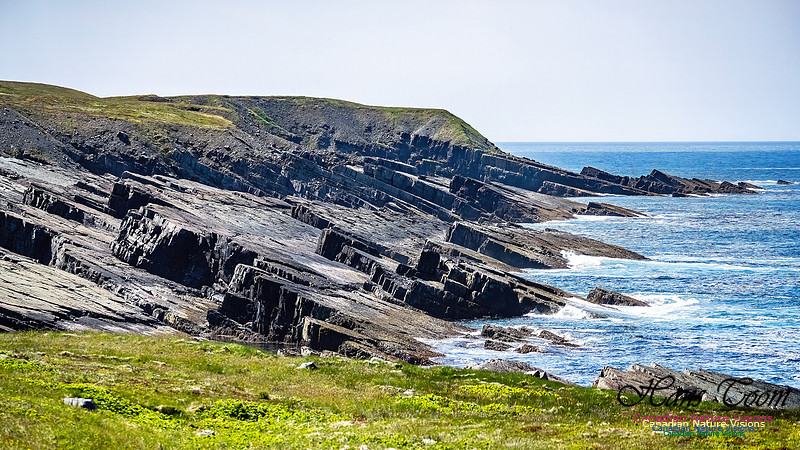
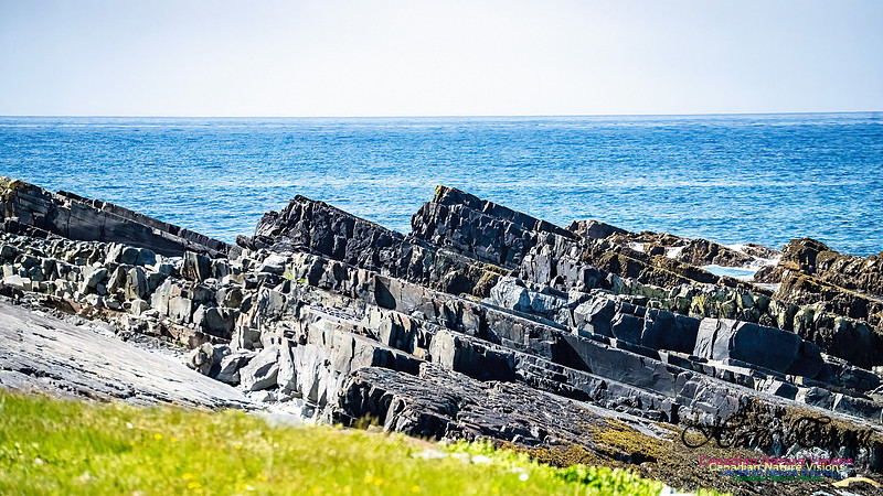
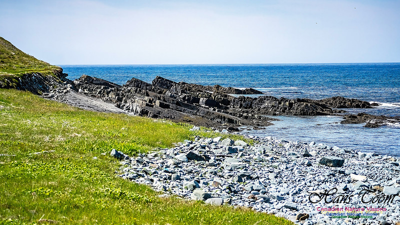
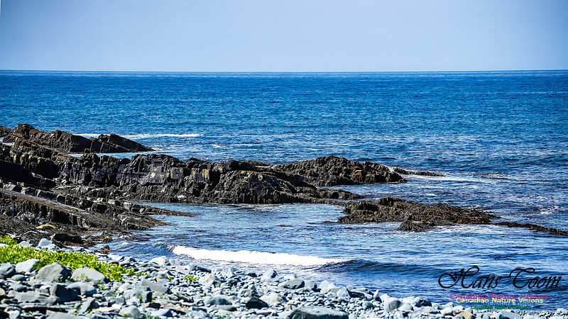
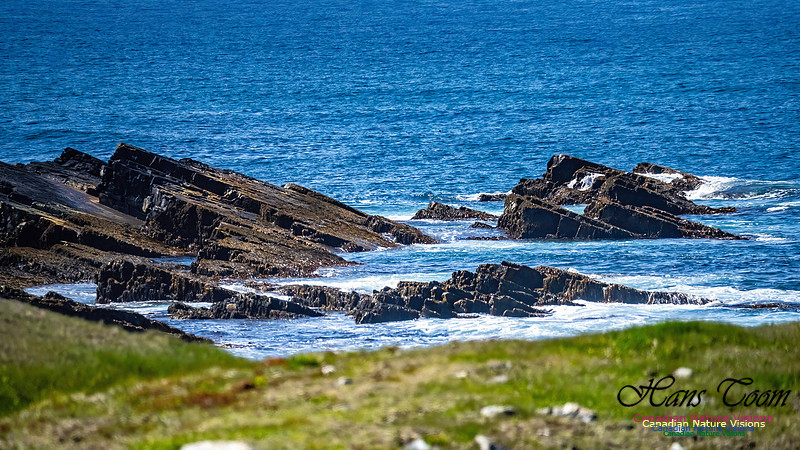
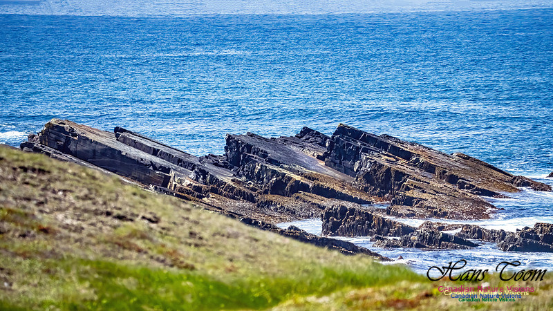
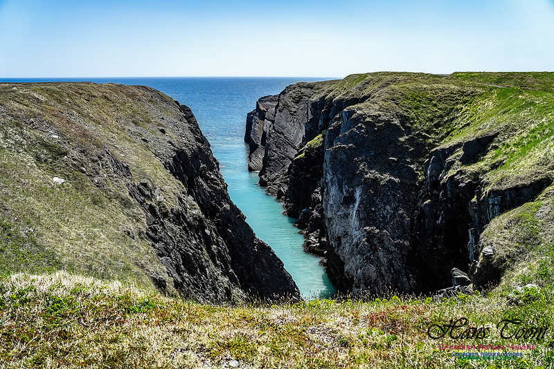
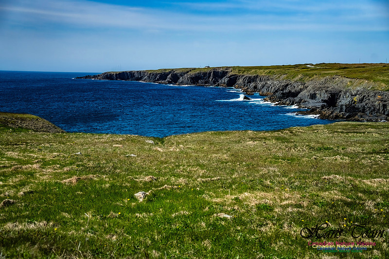
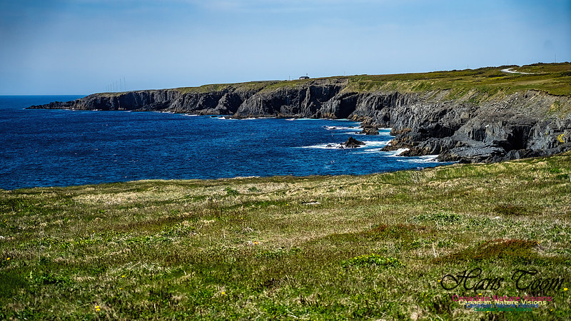
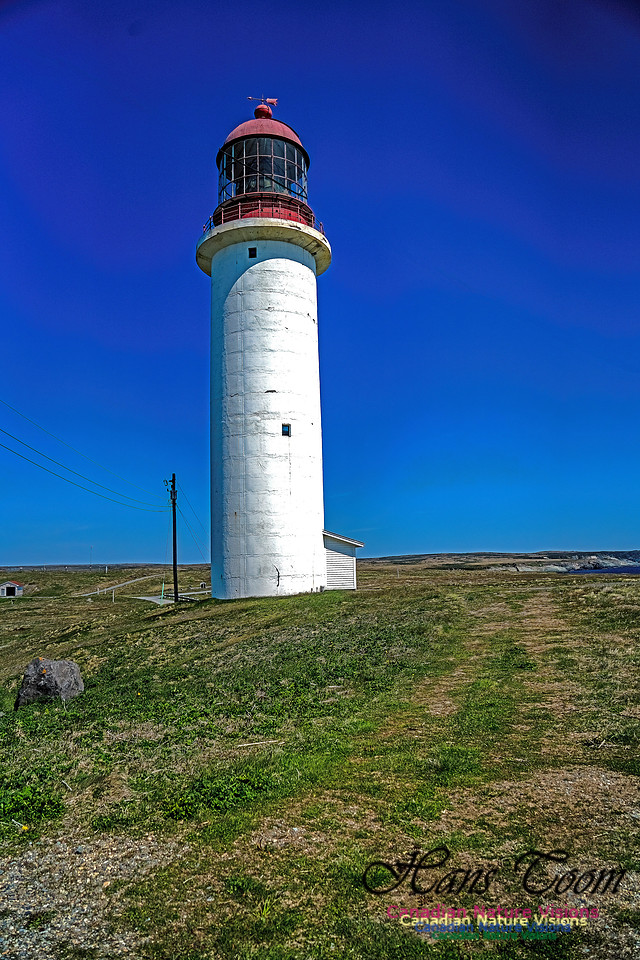
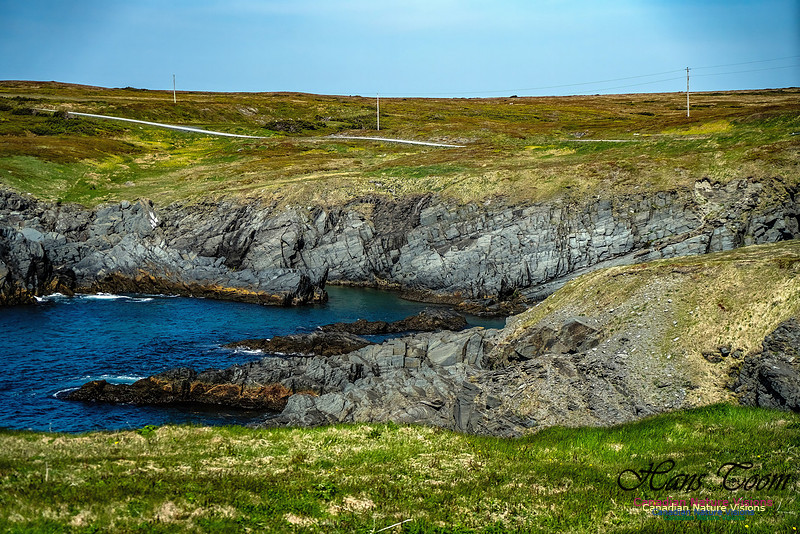
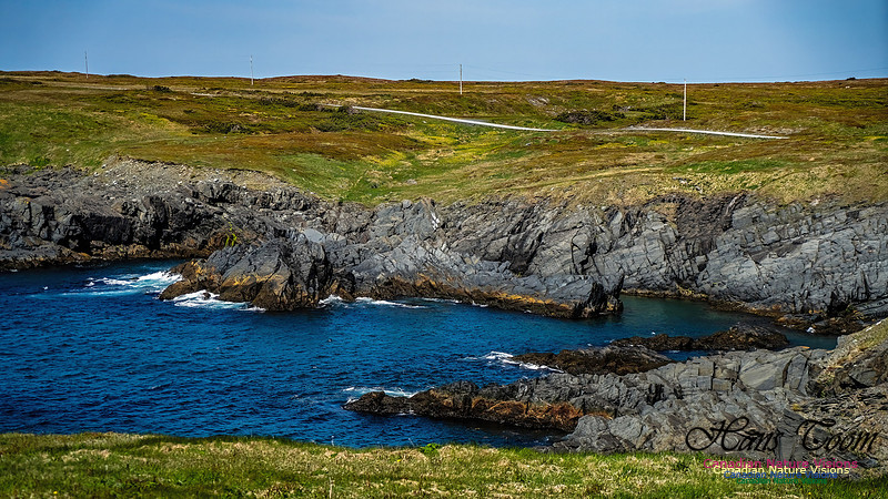
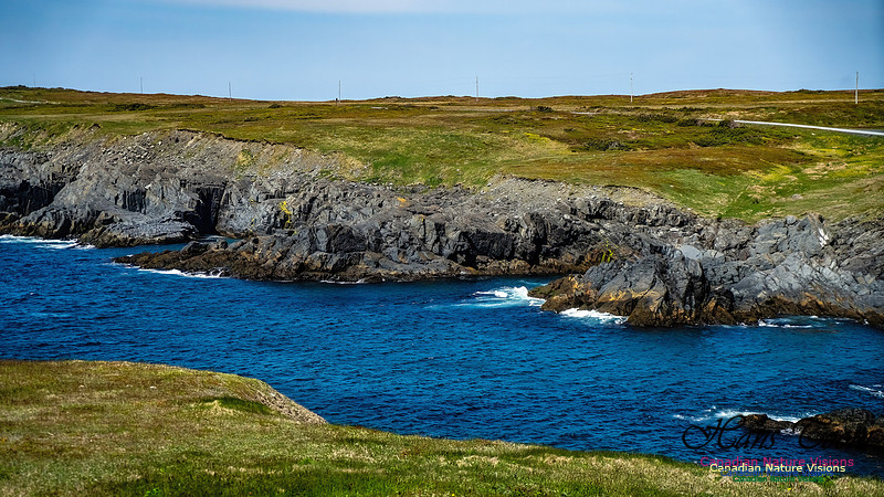
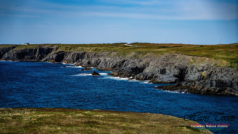
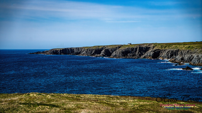
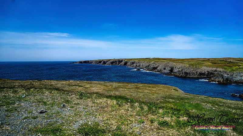
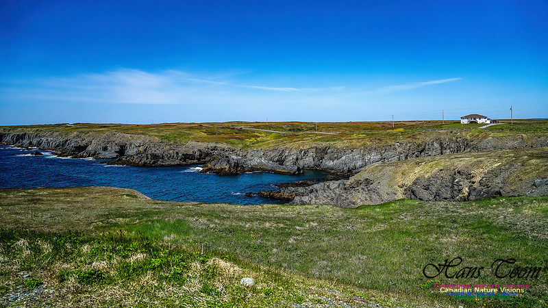
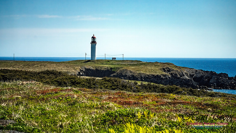
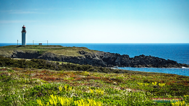
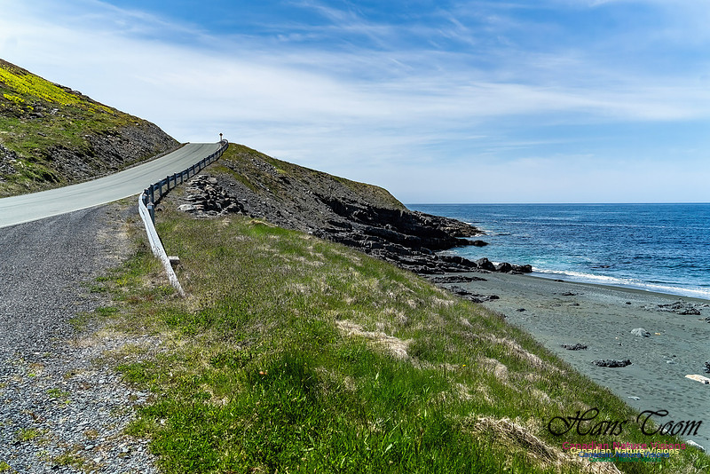
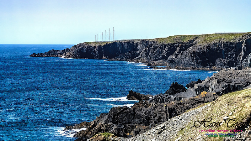
Newfoundland Adventure 2025-Cape RaceI've wanted to visit Cape Race for years but the road was barely passable for a motorhome. Not so now, the road is much improved, even partly paved, and well worth the trip. The geology along the shore is particularly interesting. Courtesy Wikipedia
Cape Race is a point of land located at the southeastern tip of the Avalon Peninsula on the island of Newfoundland, in Newfoundland and Labrador, Canada. Its name is thought to come from the original Portuguese name for this cape, "Raso", meaning flat or low-lying. The Cape appeared on early sixteenth century maps as Cabo Raso and its name may derive from a cape of the same name at the mouth of the Tagus River in Portugal. The cape was the location of the Cape Race LORAN-C transmitter until the system was decommissioned in 2010. It is also home to the Cape Race Lighthouse, notable for having received the distress call from the RMS Titanic. GeographyDense fog, rocky coasts, and its proximity to trans-Atlantic shipping routes have resulted in many shipwrecks near Cape Race over the years. One of the most famous was the SS Arctic. Cape Race is a flat, barren point of land jutting out into the Atlantic Ocean, its cliffs rising almost vertically to 30.5 metres (100 ft) above sea level. On average it is shrouded in fog on 158 days of the year.[citation needed]
History
In 1583, having claimed the port of St John's for Queen Elizabeth I, Sir Humphrey Gilbert, on board the ship Squirrel, and accompanied by the ships Golden Hind and Delight, passed by Cape Race on his way back to England. Squirrel would sink en route, taking Gilbert with her. From 1859 to 1866, the New York City Associated Press kept a newsboat at Cape Race to meet ocean liners passing by on their way from Europe so that news could be telegraphed to New York.[3][4] These news items carried the byline "via Cape Race". In 1904, the first wireless station in Newfoundland was built at Cape Race. On the night Titanic sank, wireless operator Jack Phillips was sending telegraphs to Cape Race for relay to New York City. When Cyril Evans, wireless operator of the Leyland Line SS Californian, informed to the RMS Titanic, only a few miles away, that the ship had stopped for the night and was surrounded by icy water. Phillips responded "DDD," meaning that he was transmitting to the Cape Race Marconi Station and to "stop transmitting" as he could not hear the faint signals from Cape Race due to Californian's stronger signal. Evans soon switched off the wireless and went to sleep at a normal time. Only fifteen minutes later, Titanic hit an iceberg. Cape Race was also the last land station to pick up Titanic's distress calls. Contrary to belief, Evans was not offended and Titanic's bridge was already aware of ice in the area due to previous ice warnings from other ships. After Titanic's distress call, Cape Race played a major role in relaying news of the sinking to other ships and land locations. On September 11, 1990, a Boeing 727 trijet went missing off the coast of Cape Race with 16 people on board. The aircraft was never found. Marconi's station (MCE) was rebuilt on the same site and opened as a "wireless interpretation centre" to commemorate the 100th anniversary of Titanic's sinking in 2012.[ Cape Race and Points On Route
Newfoundland Adventure-Witless Bay Ecological Reserve, Atlantic PuffinsCourtesy Wikipedia
Witless Bay Ecological Reserve is an ecological preserve close to St. John's, Newfoundland and Labrador, Canada. The Witless Bay Ecological Reserve consists of four islands: Gull Island, Green Island, Great Island, and Pee Pee Island. Immense numbers of birds nest on these islands during the seabird breeding season, roughly from 1 April through 1 September. 
The Witless Bay reserve contains North America´s largest Atlantic puffin colony. It is estimated that more than 260,000 pairs of Atlantic puffins nest there during the late spring and summer. The reserve also hosts the world's second-largest colony of Leach's storm-petrels. More than 620,000 pairs of these birds come here to nest every year. Thousands of black-legged kittiwakes and common murres arrive for the nesting season. A tourism information centre is located in the reserve, by Lower Pond in the town of Witless Bay. Atlantic Puffins of Witless Bay Ecological Reserve
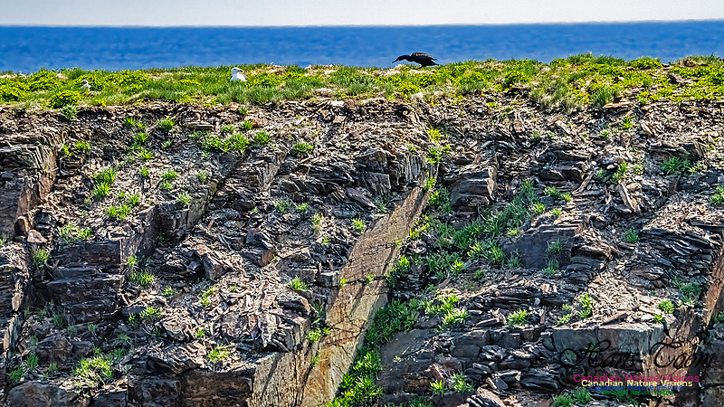
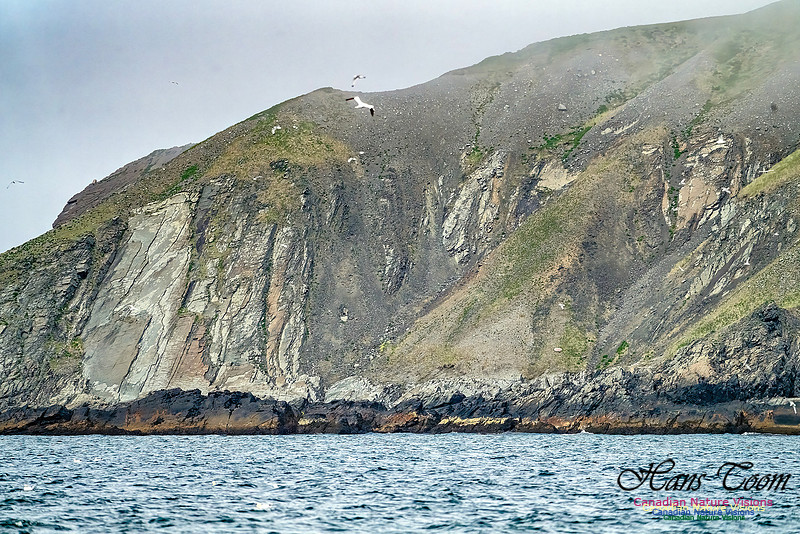
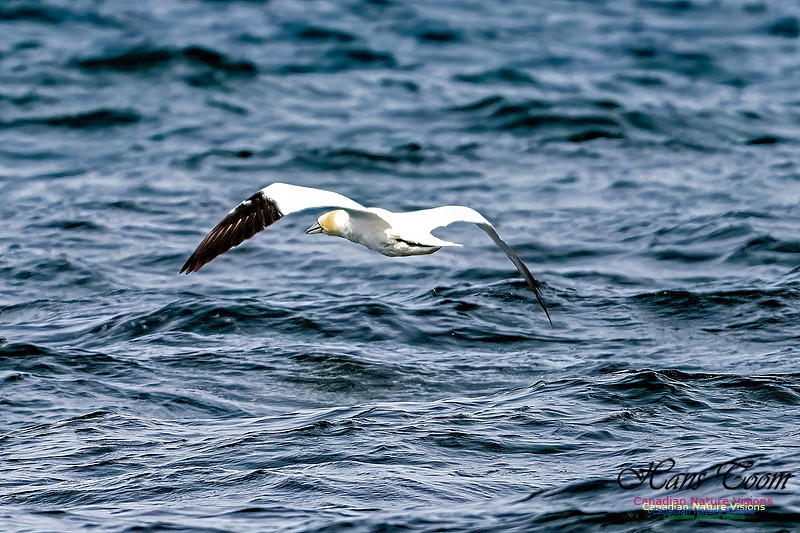
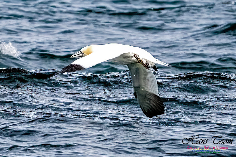
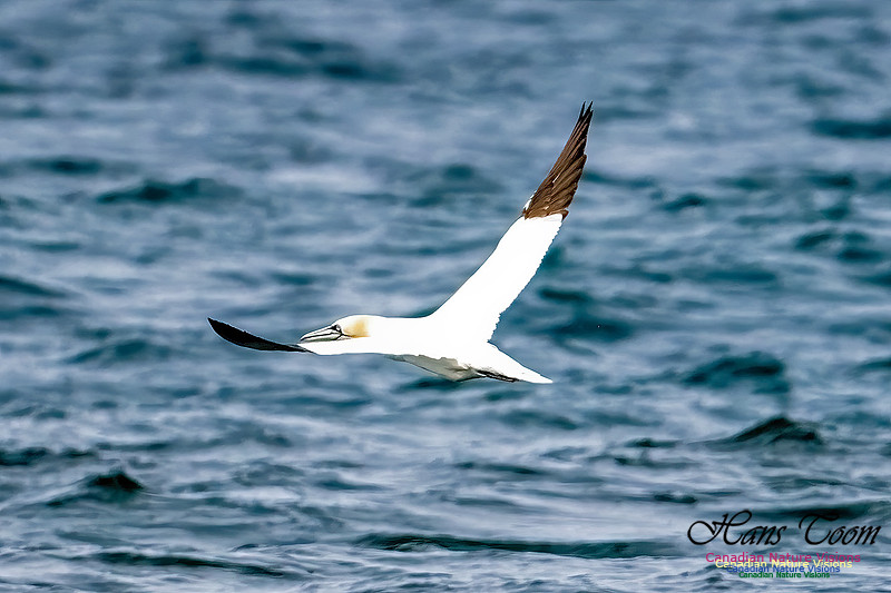
Newfoundland Adventure 2025-Cape St. Mary's Ecological ReserveI arrived at Cape St. Mary's early in the morning and to my surprise there were several motor homes parked at the visitor centre. I didn't know this was allowed. Next time! The fog monster was prowling but I managed some photos as it moved in and out from the ocean to the shore. These bluffs are the third largest Northern Gannet rookery in North America. The bird is more properly known as the Great Northern Gannet. Courtesy Wikipedia
Cape St. Mary's Ecological Reserve is an ecological reserve located near Cape St. Mary's on the Cape Shore, on the southwestern Avalon Peninsula of Newfoundland. 
It is home to one of North America's largest seabird colonies. The government of Newfoundland and Labrador estimates that the site is home to 30,000 northern gannets,[2] 20,000 black-legged kittiwakes, 20,000 common murres, and 2,000 thick-billed murres, as well as dozens or hundreds of razorbill, and black guillemot breeding pairs.[3] The ocean waters off the reserve also provides winter habitat for harlequin ducks, common eiders, scoters, and long-tailed ducks. The reserve has been designated an Important Bird Area by BirdLife International.[4] In addition to the numerous birds, humpback whales may be viewed from the heights during the annual capelin run. The area protected by the reserve also includes sub-Arctic tundra, a mainly treeless plateau bordering the ocean. 
Facilities include an interpretive centre, parking and washrooms. A footpath from the centre leads to a viewing location a few hundred metres from "Bird Rock", a large sea stack with several thousand nesting gannets. Other nesting locations can also be viewed from shore. A lighthouse is also located near the interpretive centre.[5] As is true for many parts of Newfoundland, fog can be encountered at any time of day. Care should be taken near cliff edges. Inside the interpretive centre, visitors will also find The Rookery Nature Store, operated by the Friends of Cape St. Mary's. Cape St. Mary's Northern Gannet
Common Murre
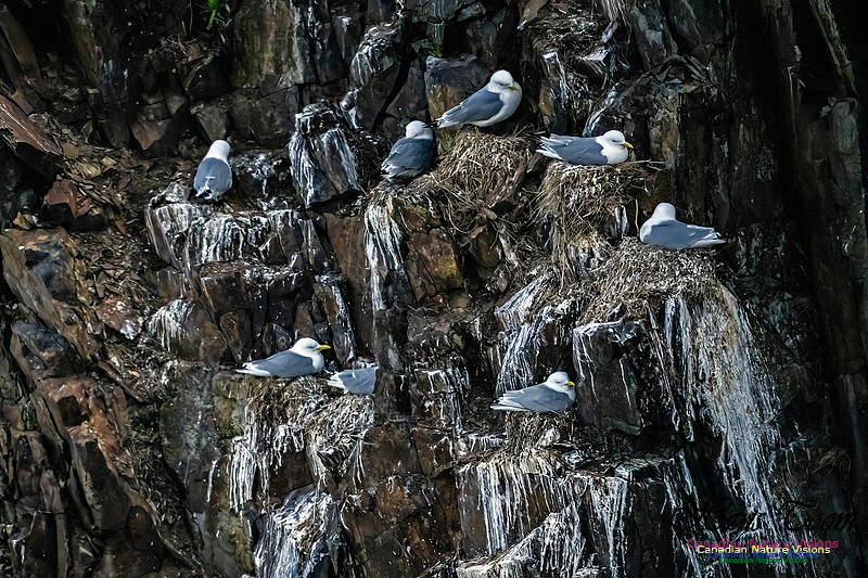
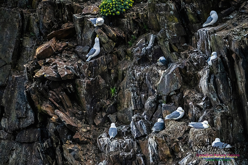
Black-legged Kittiwake
Newfoundland Adventure 2025-Elliston and Atlantic PuffinsI arrived at Elliston under bright blue skies and light winds, all perfect conditions for Atlantic Puffin viewing and photography. Photography was like playing, "Whac-A-Mole", as one puffin would pop up and then disappear followed by another pop up puffin. I suspect I timed my visit to coincide with their feeding expeditions.
Black-legged Kittiwake
Black Guillemot
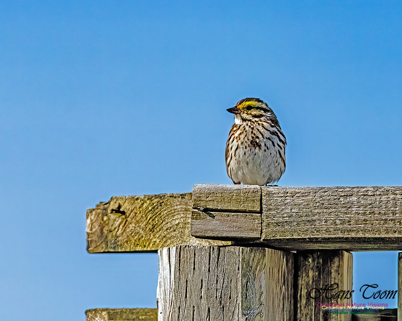
Savannah Sparrow
Newfoundland Adventure 2025-TwillingateThe route to Elliston where I will see my first Atlantic Puffins on this trip, goes through Twillingate, the centre of iceberg alley. Alas, there were no icebergs at Twillingate this time. Bird photography will begin to get hot and heavy from here on. Photos were taken on route from L' Anse aux Meadows. Twillingate is a town of 2,121 people[2] located on the Twillingate Islands ("Toulinquet") in Notre Dame Bay, off the north eastern shore of the island of Newfoundland in the province of Newfoundland and Labrador, Canada. The town is about 100 kilometres (62 mi) north of Lewisporte and Gander. Incorporated on September 30, 1965,[1] the town of Twillingate also incorporates smaller former localities such as Back Harbour, Bayview, Durrell, Gillard's Cove, Jenkins Cove, Manuel's Cove, and Wild Cove. The Twillingate Islands provide an excellent sheltered harbour and easy access to the rich fishing grounds nearby. Twillingate Island is connected to mainland Newfoundland via the Walter B. Elliott causeway as part of Route 340. The town is also one of the oldest ports on the island.[3] It was a historic fishing community, but due to the collapse of the cod fishing industry, its economy now relies more on tourism.[4][5] History
The earliest known people to inhabit the area were the Maritime Archaic, who occupied the area 3,500 years ago in roughly 1500 BC. The Maritime Archaic people were later supplanted by the Beothuk, and possibly the Dorset Inuit, who occupied the area until the arrival of European settlers.[3][6] The French had been fishing in the area possibly as early as 1500, but the first European settlers did not arrive until the 17th century. The settlers were mostly made up of fishermen and their families from the West Country in England.[3][6] The native Beothuk managed to survive until the early 19th century in small numbers near Twillingate and the mouth of the Exploits River. As the population grew, Twillingate became an important fishing community. It was a busy trade and service centre for Labrador and the northern shore fisheries for more than two centuries. One of the more prominent historical events that occurred in the history of Twillingate was the arrival of a local newspaper – the Twillingate Sun. The Sun served Twillingate and its local area from the 1880s until the 1950s. The Sun was a robust and professional newspaper that not only covered local and provincial news, but also international news as well.[7][8] Lewisporte based newspaper the Pilot then served the area until going defunct in 2018. Since the Fisheries and Oceans Canada moratorium on fishing northern cod (see Endangered Species Controversies in Canada and Europe) was announced on July 2, 1992,[9] followed shortly after by the collapse of the fishing industry, Twillingate has been forced to look to the tourist industry for income and has become a popular spot for visitors in the summer.[4]
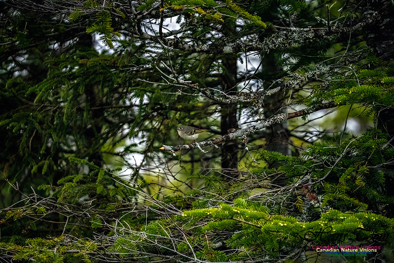
Ruby-crowned Kinglet
Marsh Marigold-Memories from home
Red-breasted Merganser
Newfoundland Adventure 2025- L' Anse aux MeadowsWhen in the extreme north end of the Great Northern Peninsula visit L' Anse aux Meadows and Burnt Cape Ecological Reserve and of course go spotting for icebergs, if you can find any. This was a poor year for icebergs in June although there were numerous reports earlier in the year. Interestingly Burnt Cape, the most northern point of the Great Northern Peninsula, does occasionally have polar bears that swim over or use ice bridges from Labrador so carry the largest and strongest can of bear spray you can find. Bear spray is sold in corner stores in the Rocky Mountain parks for defence against grizzly bears I have seen White-crowned Sparrows on Burnt Cape and Grey-cheeked Thrush are plentiful everywhere in this area. I had a Grey-cheeked Thrush sing its ethereal song in my campsite in Pistolet Bay Provincial Park, the place to stay if you are visiting the Burnt Cape Ecological Reserve and L' Anse aux Meadows. Courtesy of Wikipedia L'Anse aux Meadows (lit. 'Meadows Cove') is an archaeological site, first excavated in the 1960s, of a Norse settlement dating to approximately 1,000 years ago. The site is located on the northernmost tip of the island of Newfoundland in the Canadian province of Newfoundland and Labrador near St. Anthony. With carbon dating estimates between 990 and 1050 CE (mean date 1014)[1][2][3] and tree-ring dating of 1021,[4][5][2] L'Anse aux Meadows is the only undisputed site of pre-Columbian trans-oceanic contact of Europeans with the Americas outside of Greenland.[3] It is notable as evidence of the Norse presence in North America and for its possible connection with the accounts of Leif Erikson in the Saga of the Greenlanders and the Saga of Erik the Red,[6] which were written down in the 13th century.[3] Archaeological evidence suggests the settlement served as a base camp for Norse exploration of North America, including regions to the south.[7] Spanning 8,000 hectares (31 sq mi) of land and sea, the site contains the remains of eight buildings constructed of sod over a wood frame, with over 800 Norse objects unearthed,[8] including bronze, bone, and stone artifacts, and evidence of iron production.[9] The site was designated a National Historic Site of Canada in 1968 and a World Heritage Site by UNESCO in 1978,[10] and is managed by Parks Canada.[11]
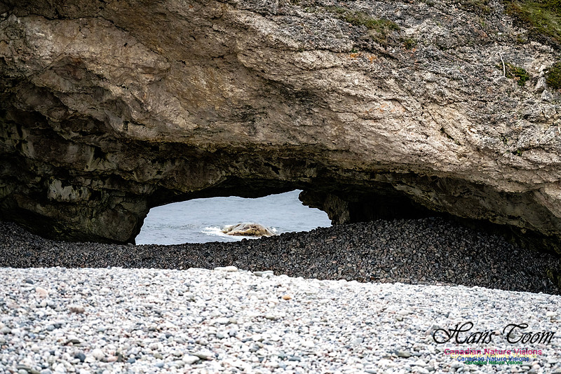
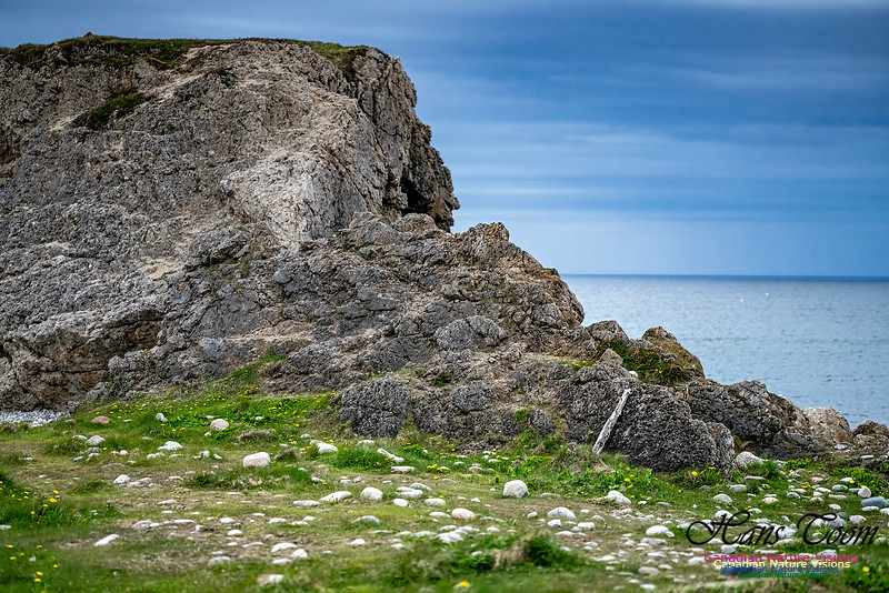
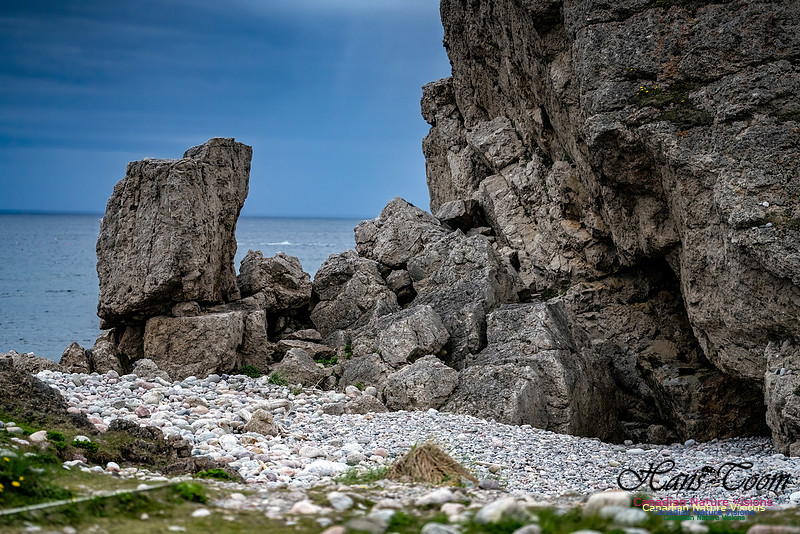
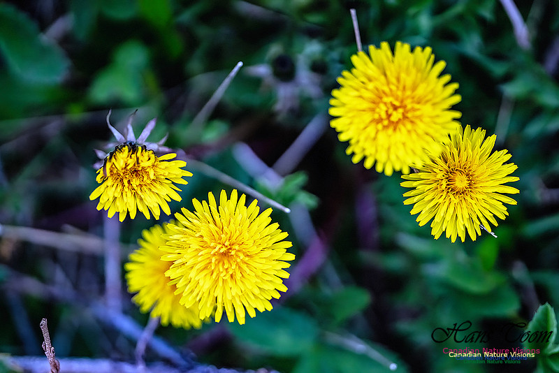
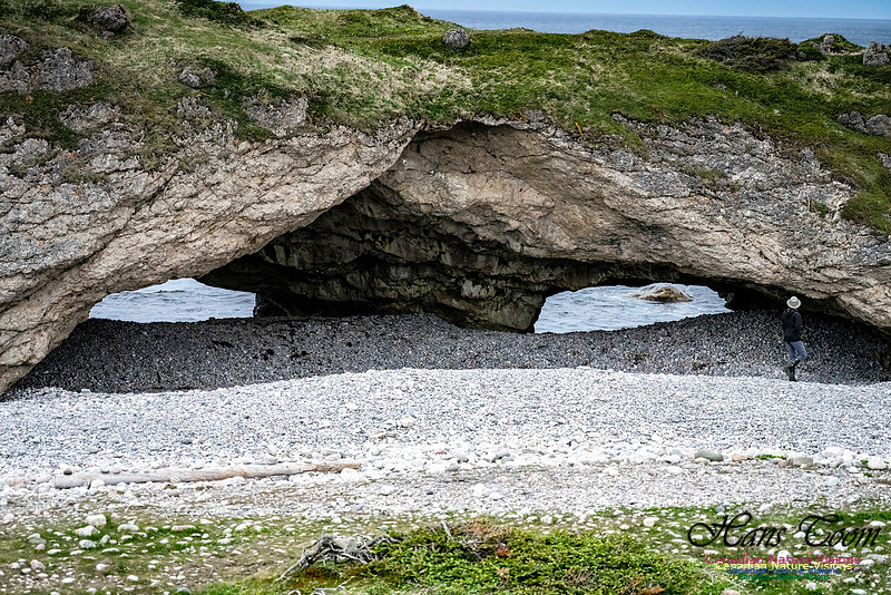
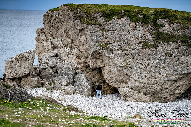
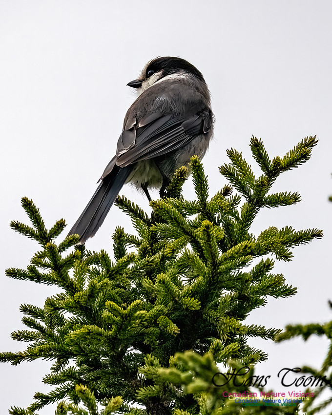
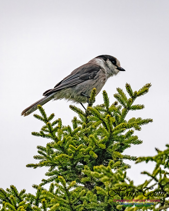
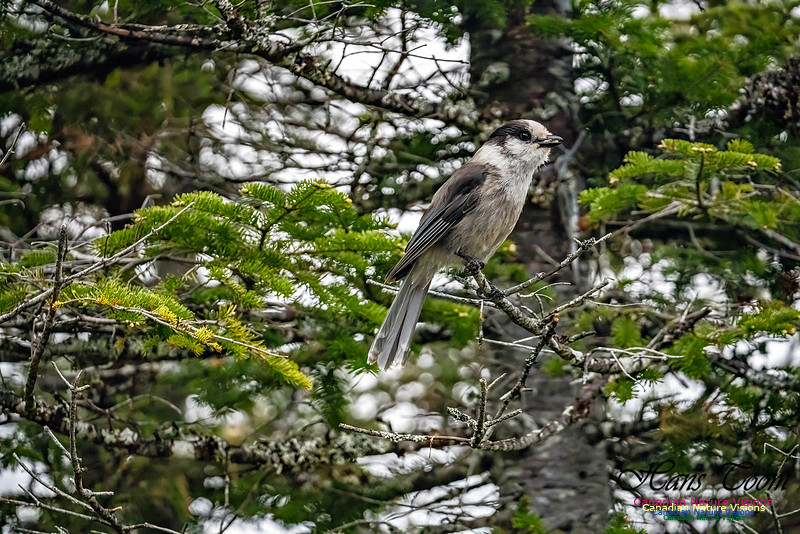
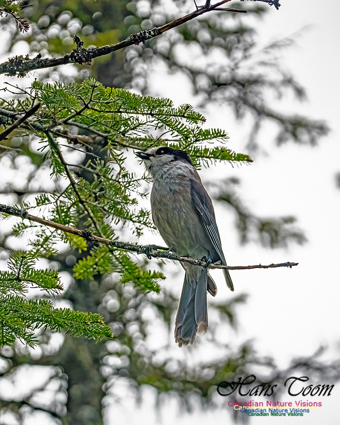
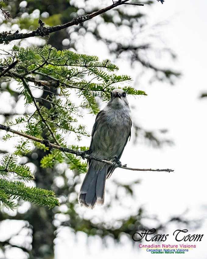
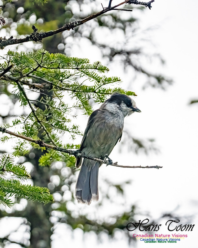
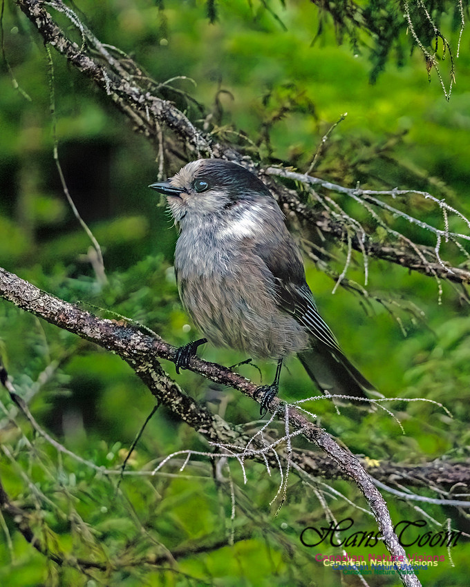
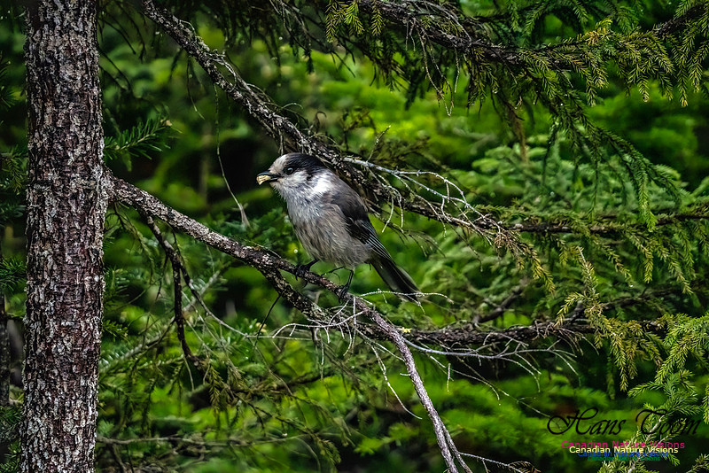
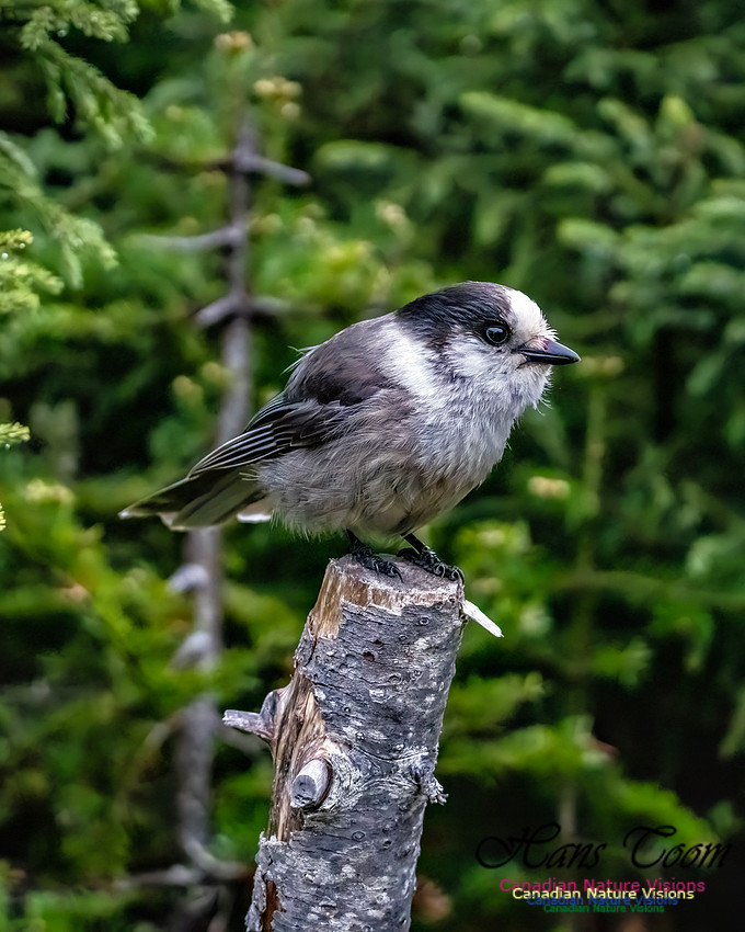
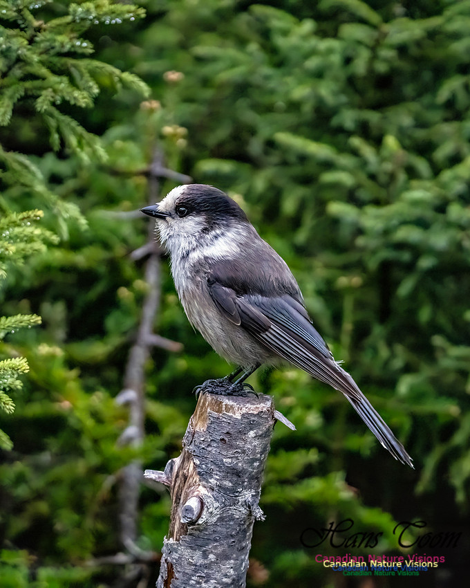
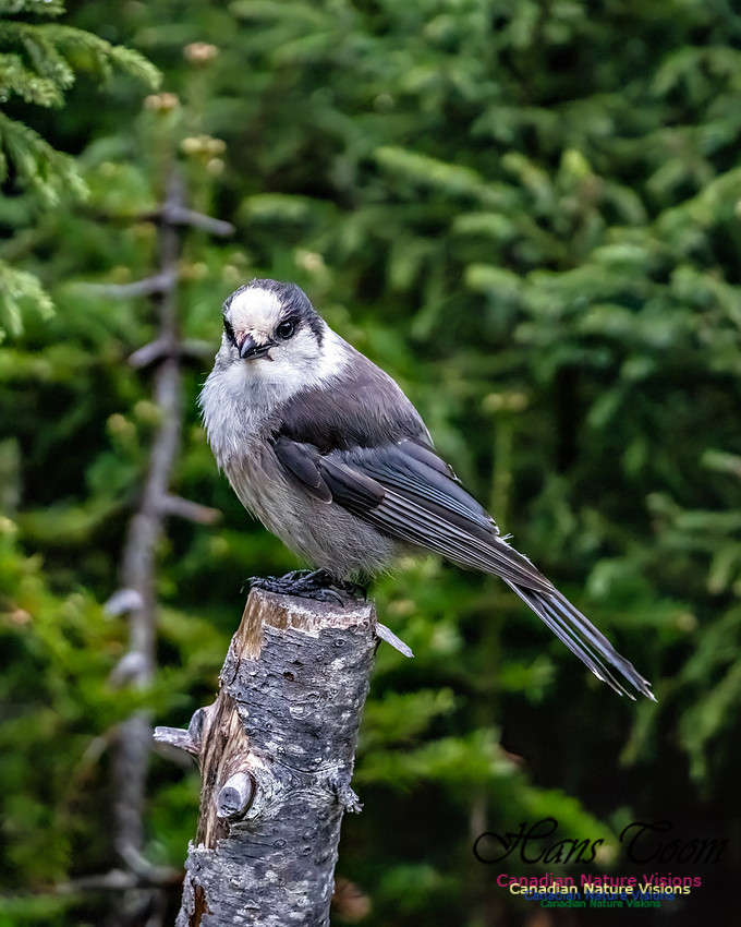
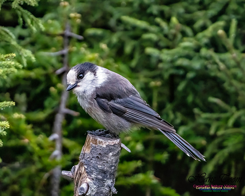
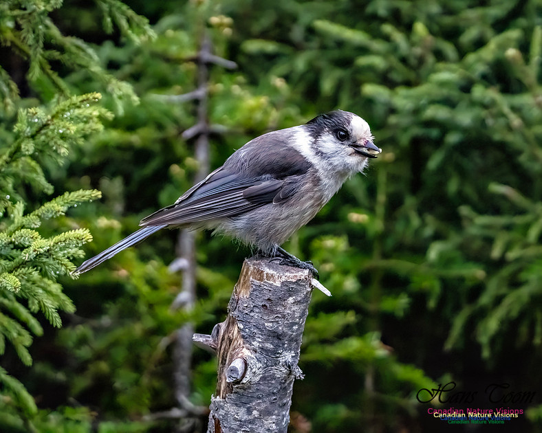
Newfoundland Adventure 2025-Great Northern PeninsulaAfter a restful stay in Gross Morne National Park I headed north along the Great Northern Peninsula to Burnt Cape and L'Anse aux Meadows National Historic Site. It was mostly uneventful with good weather continuing. The highlight was a Canada Jay visiting my camp. I didn't feed it deliberately but like its reputation, "camp robber", it managed to find some of my dinner. I will try to identify the wildflowers at Burnt Cape this time. Courtesy Wikipedia he Great Northern Peninsula (or simply just the Northern Peninsula) is the largest and longest peninsula of Newfoundland, Canada, approximately 270 km long and 90 km wide at its widest point and encompassing an area of 17,483 km2. It is defined as that part of Newfoundland from Bonne Bay northwards around Cape Norman and Cape Bauld and thence southwards to the head of White Bay, bounded by the Gulf of St. Lawrence on the west, the Strait of Belle Isle on the north and the Labrador Sea and White Bay on the east. The vast majority of the peninsula is located within Division No. 9, Newfoundland and Labrador, except for the southeastern corner, which is part of Subdivision G of Division No. 5, Newfoundland and Labrador.[1] In 1991, the peninsula had 23,854 inhabitants.[2] By 2016, however, the population had decreased to 15,607, further decreased to 14,733 in 2021.[3] St. Anthony is the largest population centre on the peninsula.[4] A ferry service operates at the western part of the Strait of Belle Isle between St. Barbe, Newfoundland, and Blanc Sablon, Quebec.[5]  TopographyThe Great Northern Peninsula can be divided into two main topographic areas, the high plateau of the Long Range Mountains and the low-lying coastal areas around which all of settlements can be found. The Long Range Mountains are a mixture of steep mountain valleys with spectacular fjords leading to the sea and mountainous areas dotted with many lakes and rivers. The northern end of the peninsula is indented by Hare Bay. The south and eastern end of the peninsula are mountainous, while the western end has a coastal plain in the northern half and deep fiords in the southern half. Gros Morne National Park is located on the peninsula.[6] Great Northern Peninsula The Arches
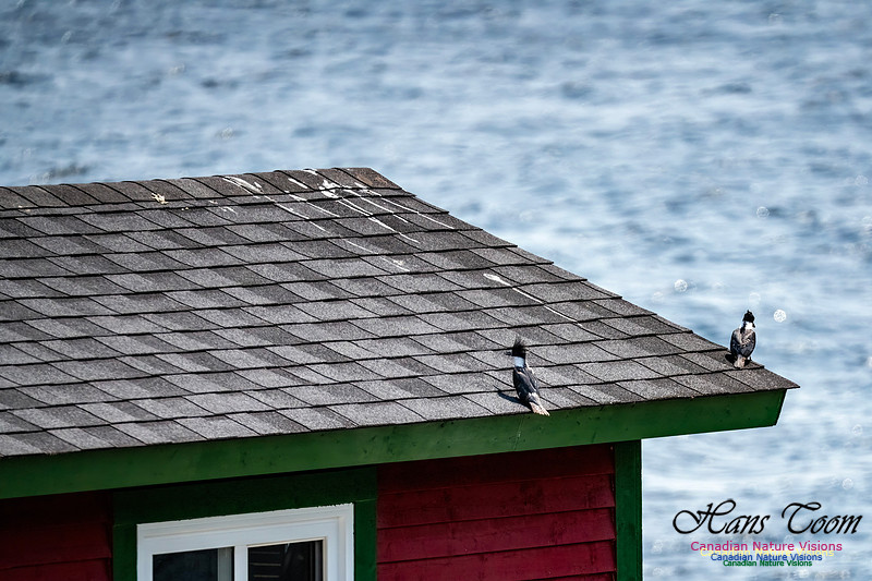
Belted Kingfisher
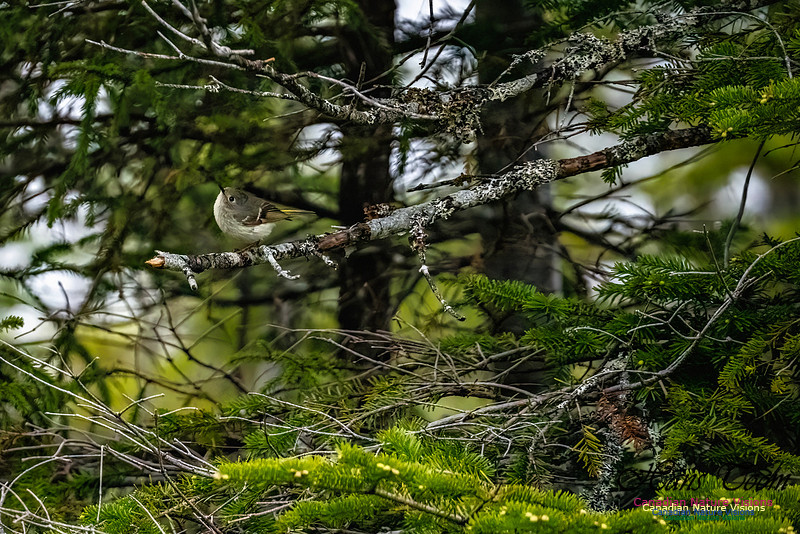
Ruby-crowned Kinglet
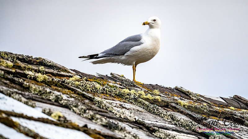
Ring-billed Gull
Canada Jay
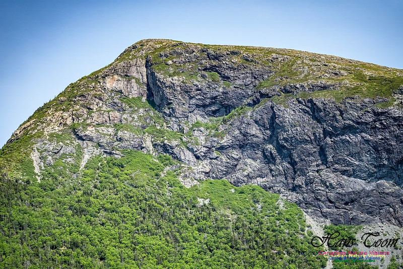
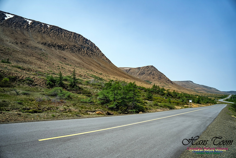
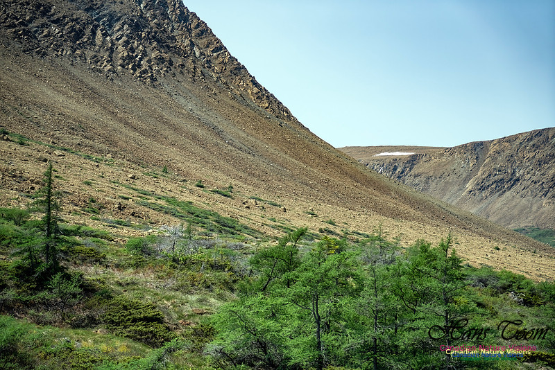
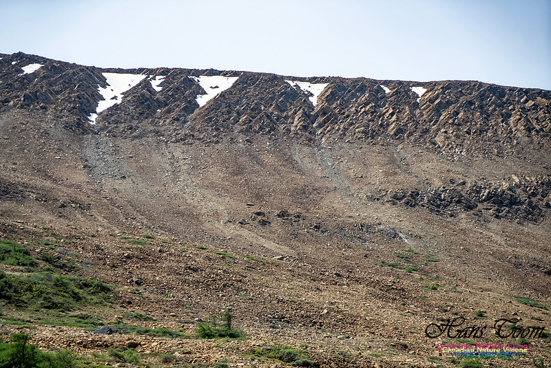
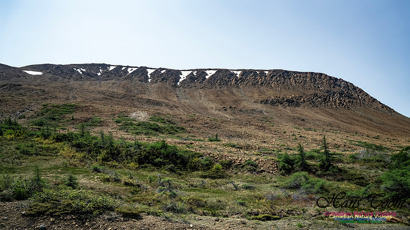
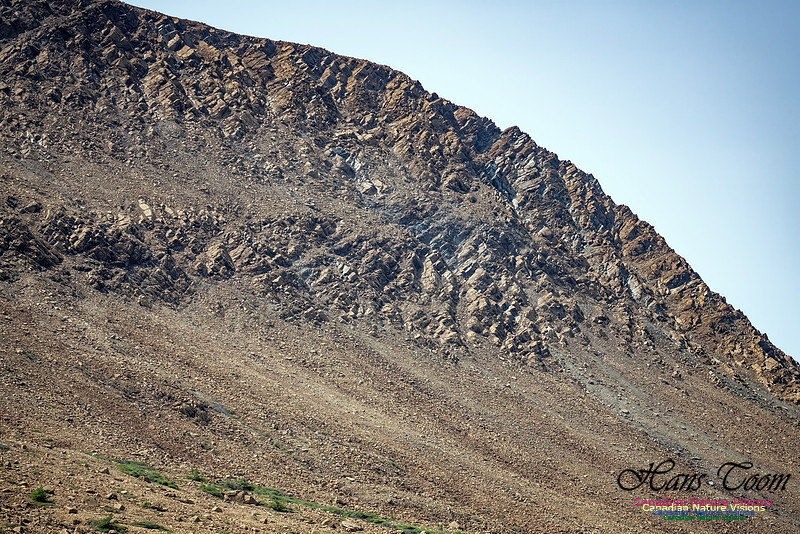
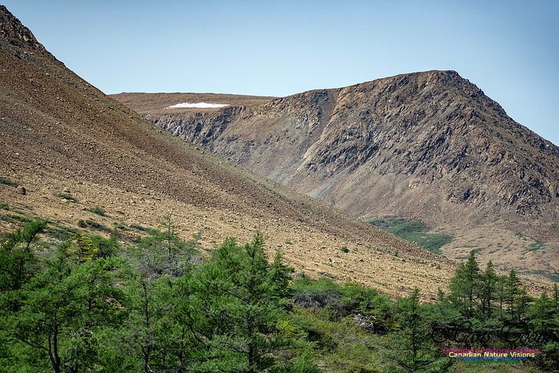
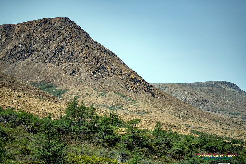
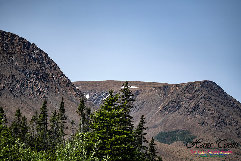
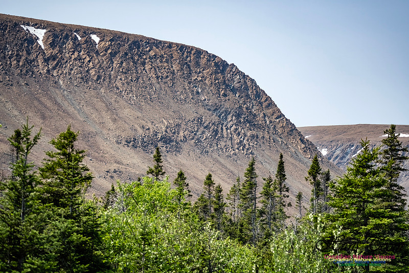
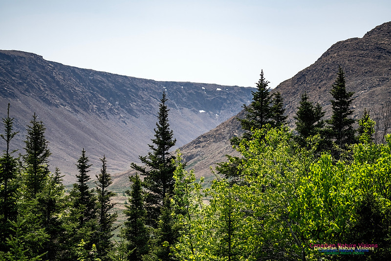
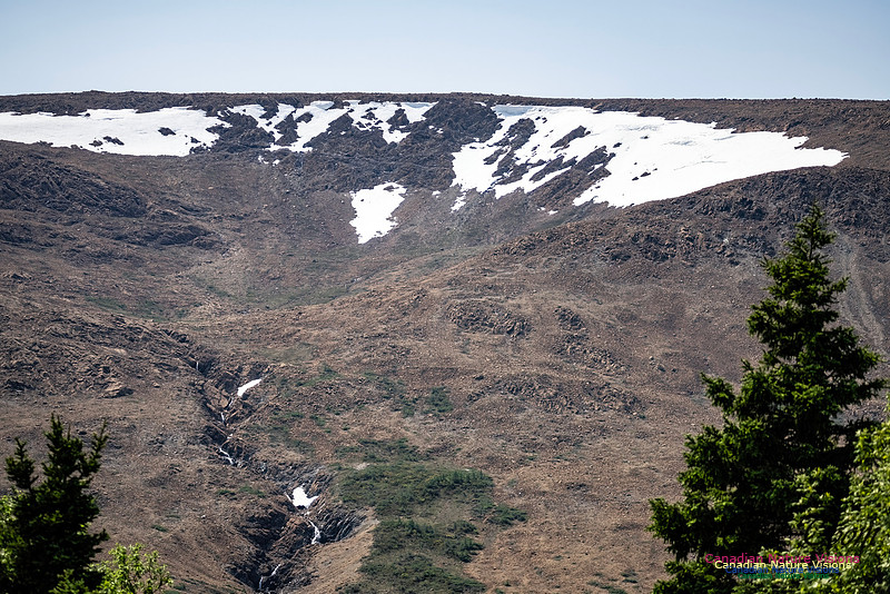
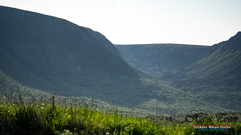
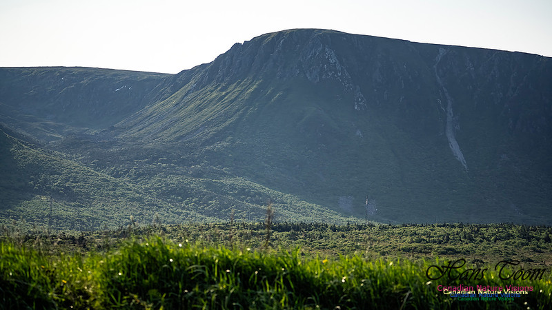
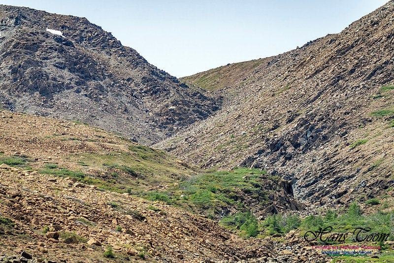
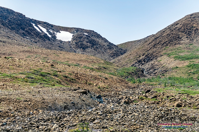
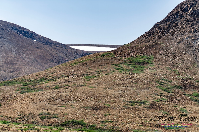
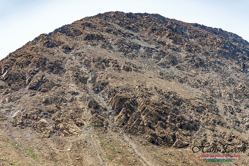
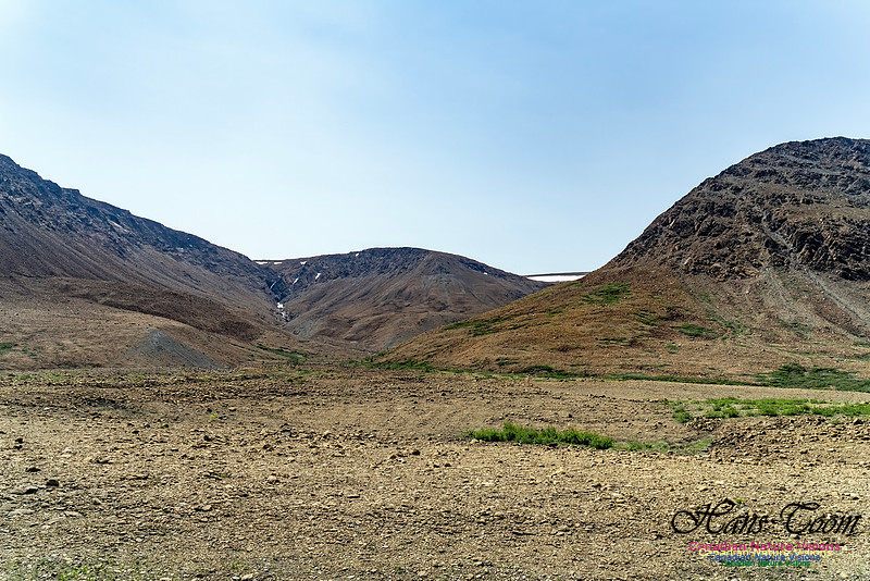
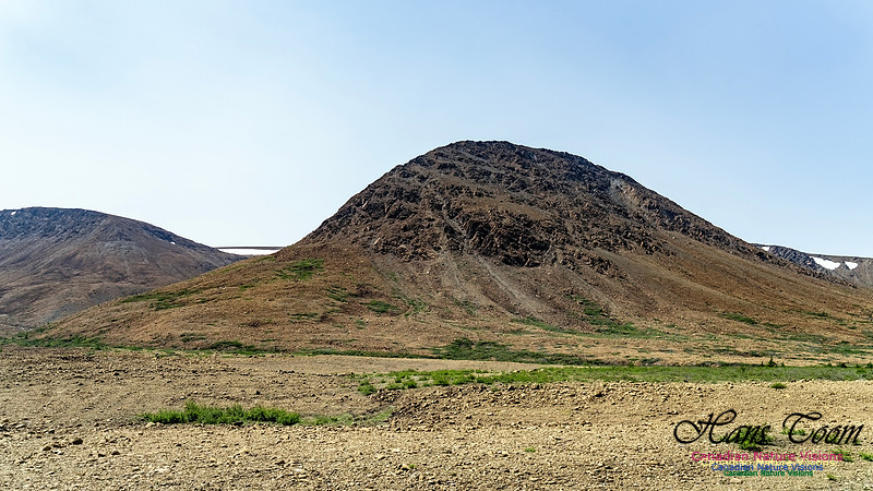
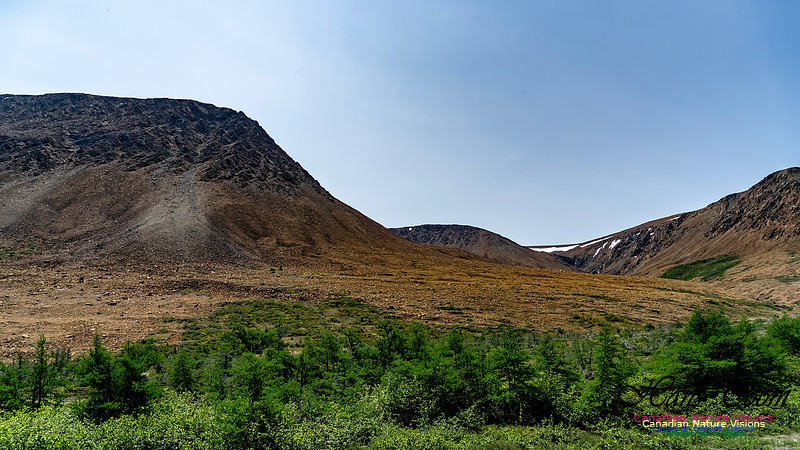
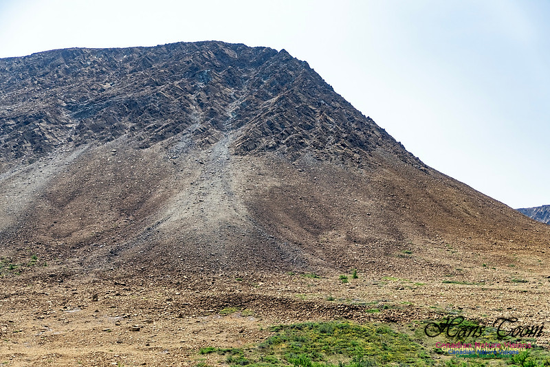
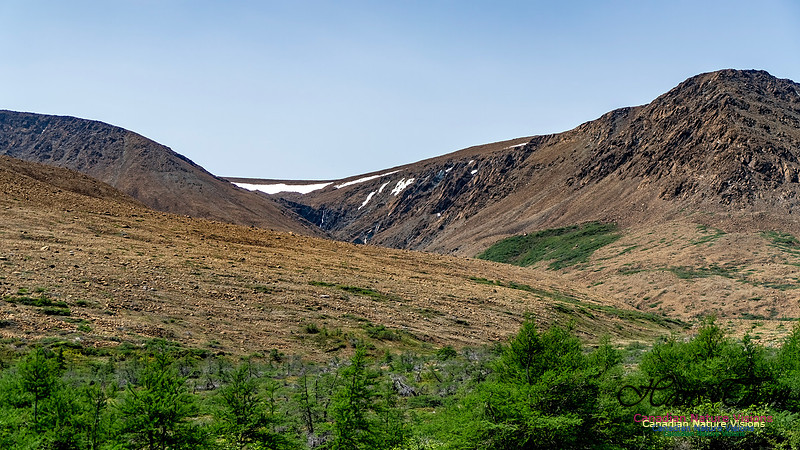
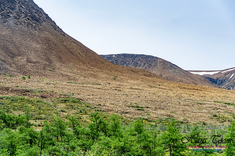
Newfoundland Adventure 2025-TablelandsI arrived in Newfoundland in good weather and enjoyed my drive north to my first destination, the tablelands in Gros Morne National Park. Climbing those rocky barrens is always a temptation but easily discarded due to the hazards of hiking through fields of broken rock. The haze and fog of the early morning quickly gave way to a splendid day.
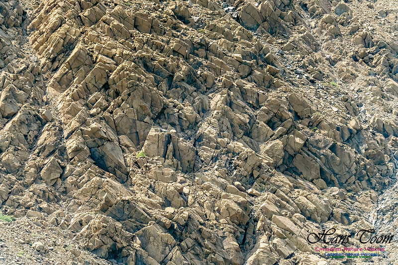
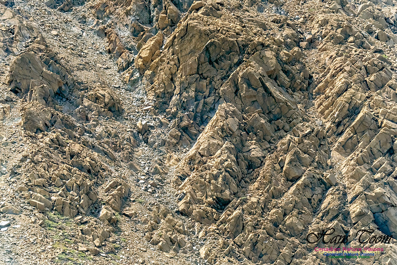
Courtesy Wikipedia The Tablelands, found between the towns of Trout River and Woody Point in south west of Gros Morne National Park, look more like a barren desert than traditional Newfoundland. This is due to the ultramafic rock – peridotite – which makes up the Tablelands. It is thought to originate in the Earth's mantle and was forced up from the depths during a plate collision several hundred million years ago. Peridotite lacks some of the usual nutrients required to sustain most plant life and has a toxic quality, hence its barren appearance.[5] Peridotite is also high in iron, which accounts for its brownish colour (rusted colour). Underneath the weathered surface zone, the unweathered rock is a dark green colour. Tablelands
Newfoundland Adventure 2025-Fortress of LouisbourgNewfoundland Adventure 2025-Fortress of Louisbourg My trip to Newfoundland started on June 9. The plan was to drive to Sydney, Nova Scotia and then take a trip south to the Fortress of Louisbourg prior to departure on the 11:15PM ferry to Port Aux Basques, Newfoundland. This 7 hour crossing allows for a comfortable sleep in an onboard cabin and a early start. To my surprise the Fortress of Louisbourg closes at 5PM and my 4PM arrival only allowed time for a quick one hour circuit of the highlights. I won't parrot the writings of others on this fortress but it is worth noting that this is the largest reconstruction project in North America and a remarkable feat well worth all the praise heaped upon Parks Canada for this effort. Courtesy of Wikipedia
The Fortress of Louisbourg (French: Forteresse de Louisbourg) is a tourist attraction as a National Historic Site and the location of a one-quarter partial reconstruction of an 18th-century French fortress at Louisbourg on Cape Breton Island, Nova Scotia. Its two sieges, especially that of 1758, were turning points in the Anglo-French struggle for what today is Canada.[1] The original settlement was founded in 1713 by settlers from Terre-Neuve, and initially called Havre à l'Anglois. Subsequently, the fishing port grew to become a major commercial port and a strongly defended fortress. The fortifications eventually surrounded the town. The walls were constructed mainly between 1720 and 1740. By the mid-1740s Louisbourg, named for Louis XIV of France, was one of the most extensive (and expensive) European fortifications constructed in North America.[2] The site was supported by two smaller garrisons on Île Royale located at present-day St. Peter's and Englishtown. The Fortress of Louisbourg suffered key weaknesses, since it was erected on low-lying ground commanded by nearby hills and its design was directed mainly toward sea-based assaults, leaving the land-facing defences relatively weak. A third weakness was that it was a long way from France or Quebec, from which reinforcements might be sent. It was captured by British colonists in 1745, and was a major bargaining chip in the negotiations leading to the 1748 treaty ending the War of the Austrian Succession. It was returned to the French in exchange for border towns in what is today Belgium. It was captured again in 1758 by British forces in the Seven Years' War, after which its fortifications were systematically destroyed by British engineers.[2] The British continued to have a garrison at Louisbourg until 1768 but had abandoned the site by 1785.[3] The fortress and town were partially reconstructed, in a project that started in 1961 and continued into the 1970s.[3] The head stonemason for this project was Ron Bovaird. This reconstruction work provided jobs for unemployed coal miners, but relied on expropriating an entire community known as West Louisbourg.[4] Additional restoration was completed in 2018–2020 and again in 2022–2023 after Hurricane Fiona.[5] The earlier of the two projects was intended to protect the site from rising water and to restore parts of the fortress.[6] The Fortress of Louisbourg National Historic site is operated by Parks Canada as a living history museum. The site stands as the largest reconstruction project in North America.[7] The Chapel
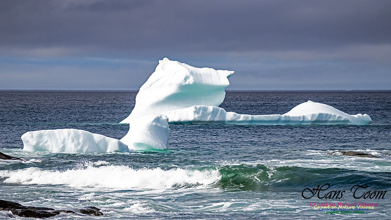
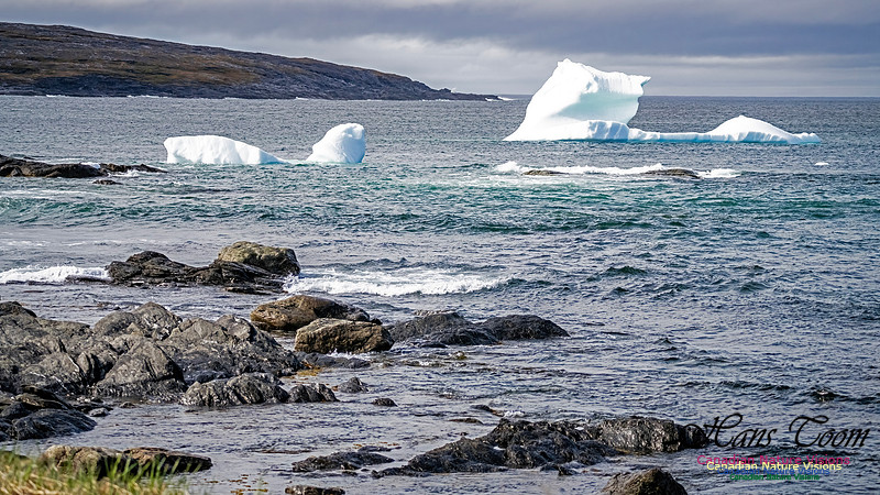
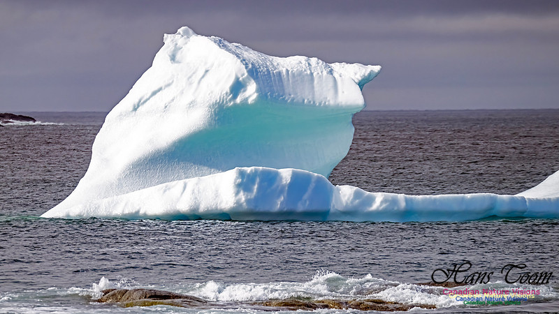
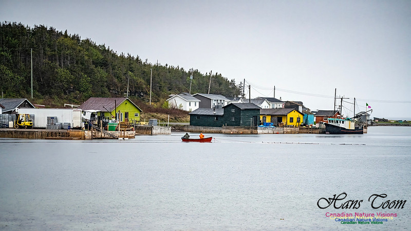
Newfoundland Adventure-Archive PhotosNewfoundland Adventure, June, 2025 I will enjoy over two weeks in Newfoundland this month with stops at the Fortress of Louisbourg and the Cape Breton Highlands. Pick any place between the Arctic and Seal Island, Nova Scotia and no other place matches the photographic opportunities and appeal of Newfoundland, with its culture, lovely architecture, arctic and alpine wildflowers, marine mammals, terrestrial mammals, birds, mountains, waterfalls and icebergs, etc. I hope for good weather. Photographs below are from previous trips to Newfoundland. Black-legged Kittiwake
Fortress of Louisbourg with Punishment Horse
Table Mountains, Gross Morne National Park
Iceberg
Lance aux Meadows Viking Settlement Reconstruction
Arctic Wildflower
Iceberg
Marsh Marigold
Arctic Wildflower
Pine Grosbeak
The Arches
Atlantic Puffin
St. John's
Northern Gannet
The Great EgretI found this Great Egret at the Sambro Salt Marsh. This is an almost annual occurrence at this location. Great Egrets are annual regulars to Nova Scotia and can be considered uncommon although difficult to find at times. Great Egret
Sunset at Peggy's CoveI tried for a spectacular sunset considering the mostly clear sky and clouds on the horizon. Ironically the most spectacular colours in a sunset are found around pollution filled city skies like Windsor/Detroit. Sunset at Peggy's Cove
Late Day at Peggy's CoveI visited Peggy's Cove late in the evening in hopes of following up with a good sunset. The sunset, next post, was not spectacular but the vista was magnificent, as usual. Late Day at Peggy's Cove
|