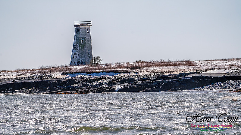
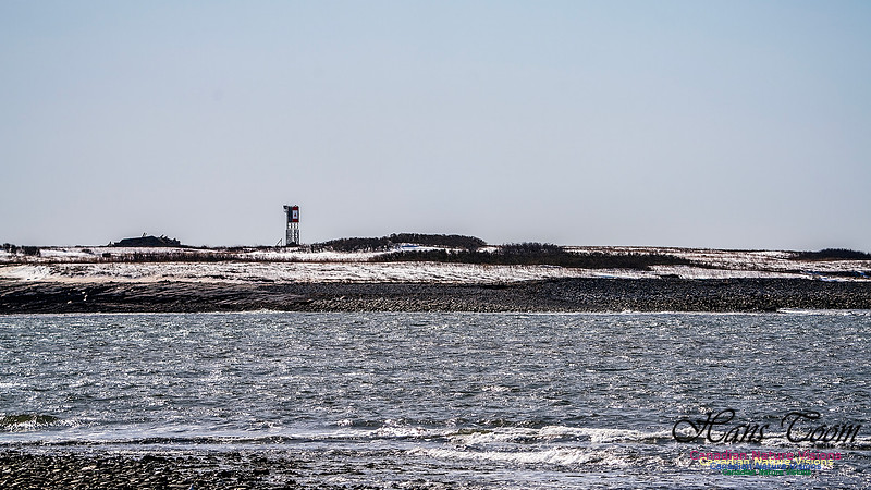
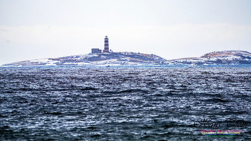
Devil's Island, Halifax Harbour EntranceDevil's Island, Halifax Harbour Entrance It is not often that the haze, sea spray and fog allow for decent photographs of Devil's Island but yesterday was such a day. Somewhere along its history the one remaining light has lost its top and is leaning which is not a good sign for its continuance. Courtesy of Wikipedia Devils Island, Nova Scotia is located on the northeast entrance of Halifax Harbour off the coast of the community of Eastern Passage, part of the Halifax Regional Municipality. The name originated from an early French merchant named Deval or Devol.[1] The first permanent settlement on this 12-hectare (30-acre) island was established in 1830, and by 1850 there were three houses and a school. By 1901 the settlement had grown to 18 houses. A number of Devil's Island residents, notably Ben Henneberry, provided valuable folklore to pioneering Canadian folklorist Helen Creighton. Most of the residents were moved to the mainland during World War II. The last permanent resident, a Norwegian artist, moved off in 2000. The island is currently owned by Halifax entrepreneur Bill Mont. The Devil's Island Lighthouse, built in 1877, replacing an earlier tower built in 1852, is still standing but is not functional and is threatened.[by what?] The island was also the base for a rescue lifeboat until the 1950s which saved the crews of many vessels stranded on the shoals approaching Halifax Harbour.
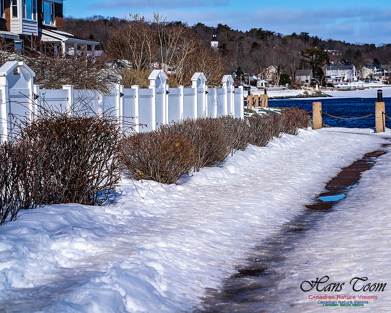
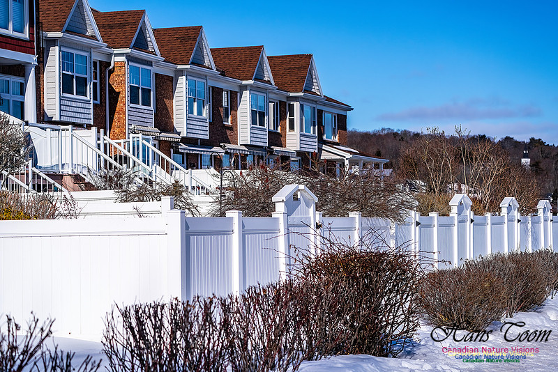
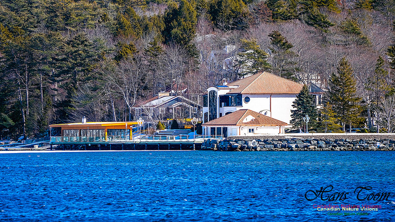
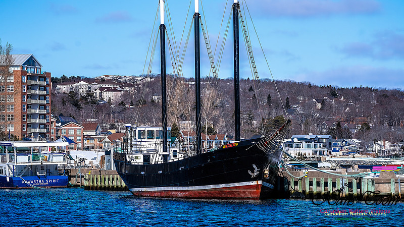
Mill Cove, Bedford, Nova ScotiaMill Cove, Bedford, Nova Scotia I often take walks along the shoreline of Mill Cove. It provides an excellent view of Bedford Basin which served as a major staging area for ships that formed convoys prior to their departure to Great Britain during the Second World War. There are several condominiums along the shore and luxury homes on the opposite bank. Courtesy Wikipedia Geographically, the basin is situated entirely within the Halifax Regional Municipality (HRM) and is oriented northwest–southeast, measuring approximately 8 kilometres (5 mi) long and 5 kilometres (3 mi) wide, surrounded by low hills measuring up to 160 metres (520 ft) in elevation, although most elevations range up to 30–60 metres (100–200 ft). The basin is fed by water from the Sackville River and has a maximum depth of 71 metres (233 ft);[1] The basin's geologic history can be traced to the Wisconsin Glaciation when it, along with "The Narrows", formed part of the pre-historic Sackville River valley.[2]Geographically, the basin is situated entirely within the Halifax Regional Municipality (HRM) and is oriented northwest–southeast, measuring approximately 8 kilometres (5 mi) long and 5 kilometres (3 mi) wide, surrounded by low hills measuring up to 160 metres (520 ft) in elevation, although most elevations range up to 30–60 metres (100–200 ft). The basin is fed by water from the Sackville River and has a maximum depth of 71 metres (233 ft);[1] The basin's geologic history can be traced to the Wisconsin Glaciation when it, along with "The Narrows", formed part of the pre-historic Sackville River valley.[2] Though inhabited by the Mi'kmaq and the French having known of the site since the 17th century, the basin was named for John Russell, 4th Duke of Bedford, who was the British Secretary of State for the Colonies when Halifax was founded in 1749.[10] The North American station of the Royal Navy was based just outside the entrance of the basin from 1759 to 1905, at the Royal Naval Dockyards. The naval base served as the station's headquarters until 1818, when it became the summer headquarters of the station. Defences were built around the approach towards the basin's entrance, with the construction of the York Redoubt at Ferguson's Cove, as well as fortifications on Georges Island, and McNabs Island. These defences were a part of the Halifax Defence Complex. In 1907, the Royal Naval Dockyards was transferred to the Government of Canada, and continues to operate as CFB Halifax. .jpeg)
The basin played a key role during the First and Second World Wars when commercial shipping was being attacked by enemy submarines. Given the size of the Port of Halifax, and its vicinity to Europe in contrast to other North American ports, the basin was used as an assembly point for transatlantic convoys bound for Europe. With defences built just outside of the only access point into the basin (a strait called The Narrows), it provided a safe place to assemble convoys consisting of hundreds of merchant ships and their escorts in relative security, while torpedo nets kept submarines at bay. In December 1917 the basin was the site of the Halifax Explosion, where two ships collided in the basin causing an explosion that levelled most of the surrounding area.[11] In 1994, the defences that protected Bedford Basin were designated a National Historic Site of Canada, commemorating the assembly of convoys in Bedford Basin during the Second World War.[12] In 2010, on the 100th anniversary of the Royal Canadian Navy, a plaque was unveiled at Bedford Lake, Griesbach, Edmonton, Alberta, in recognition of the role played by Bedford Basin in the world wars.[13]
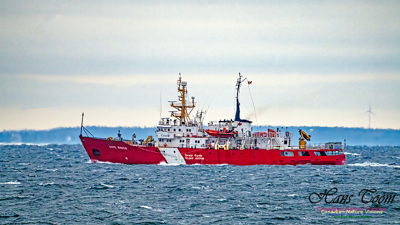
CCGS Cape RogerPhotographing ships in choppy seas several miles away is always a challenge due to turbulent air conditions, haze, and photographic compression of miles of haze and dust onto a two dimensional frame but here is the CCGS Cape Roger, non the less. CCGS Cape Roger
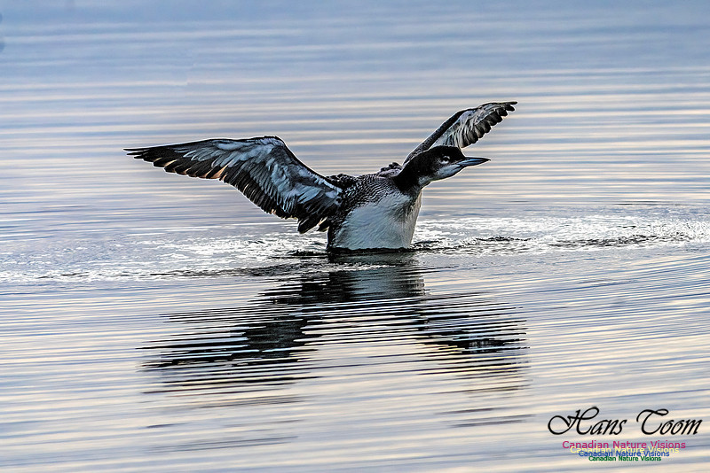
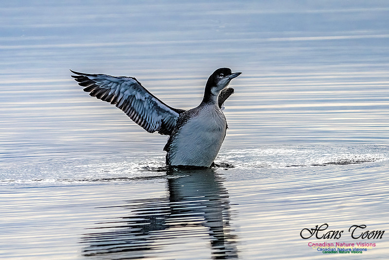
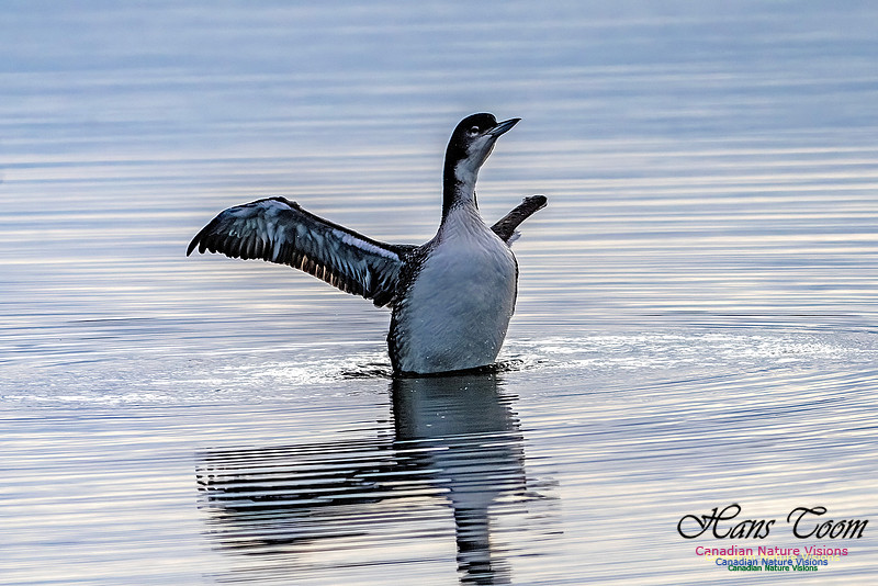
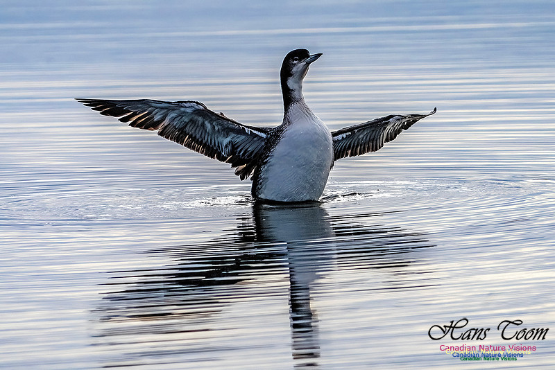
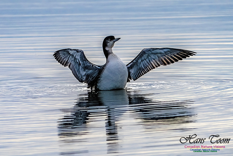
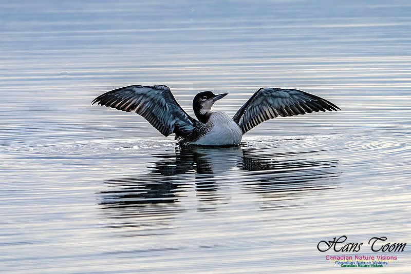
Common Loon in WinterThe Common Loon in winter loses all of its breeding finery but still maintains its elegance, always worth photographing. Common Loon in Winter
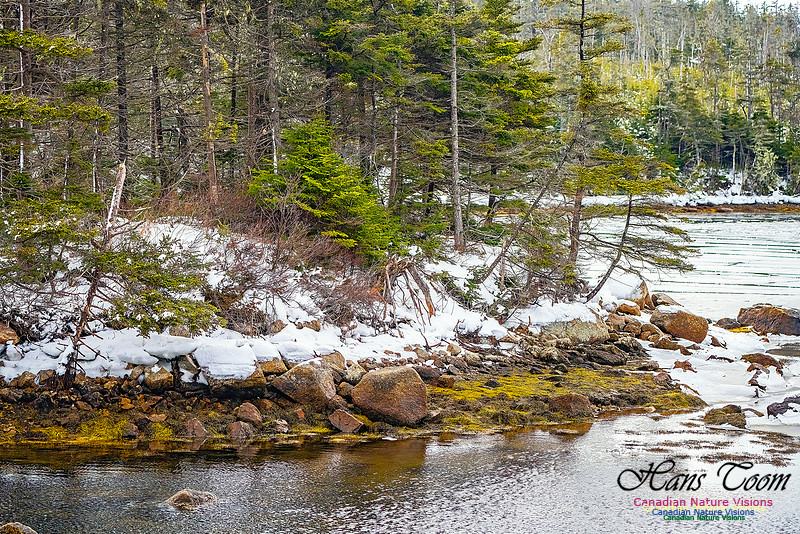
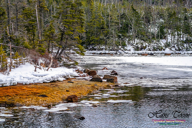
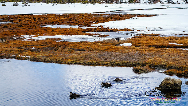
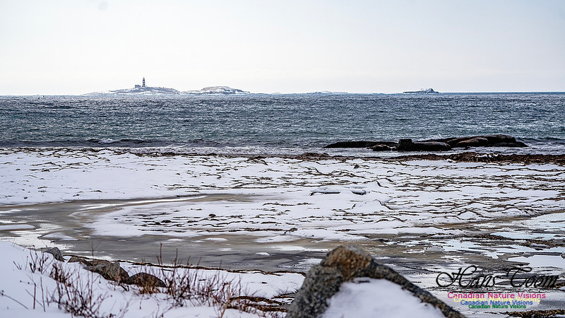
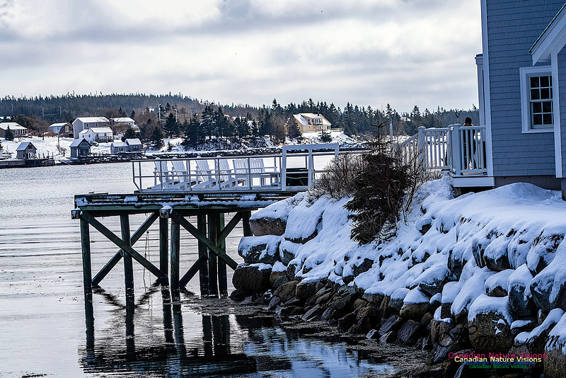
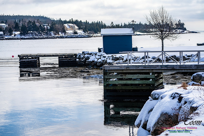
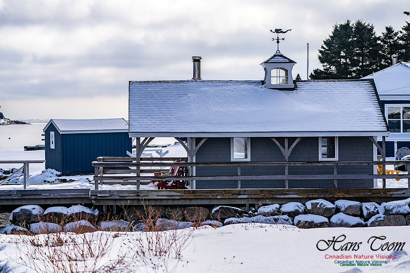
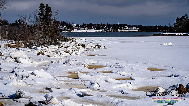
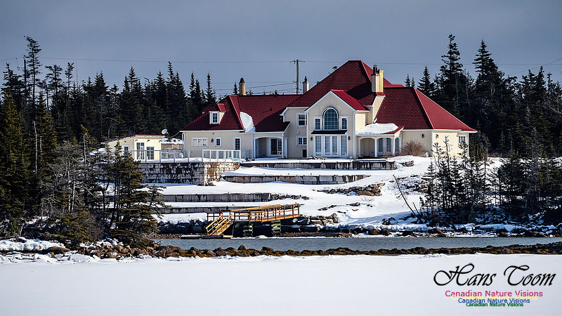
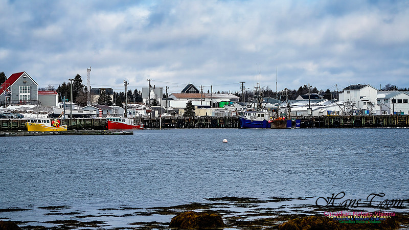
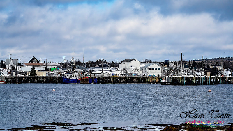
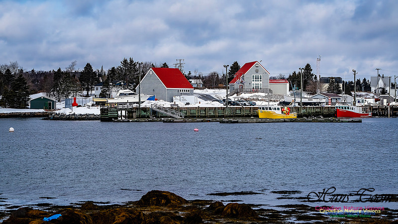
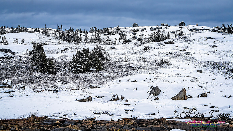
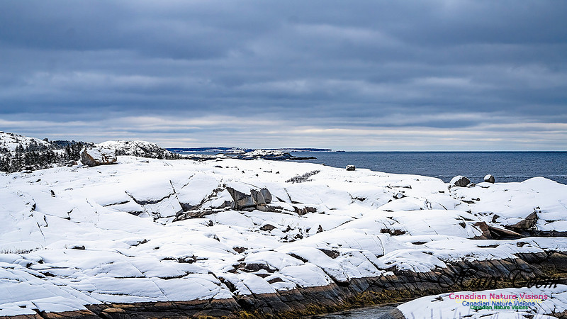
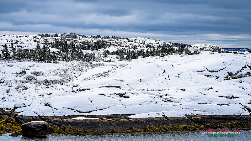
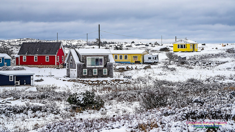
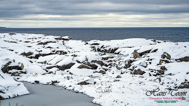
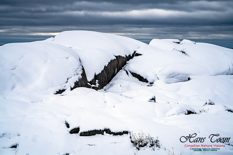
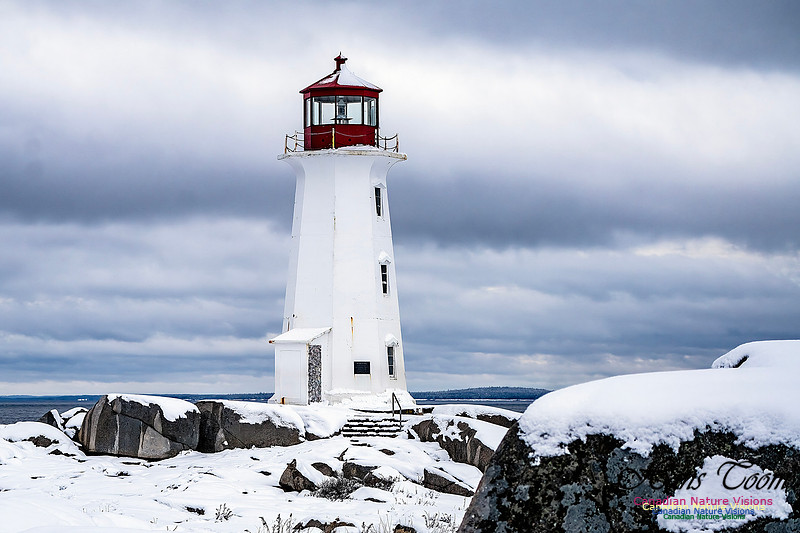
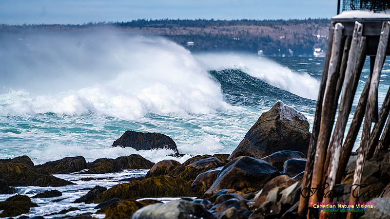
Nova Scotia in WinterHere are some recent photographs of Nova Scotia in winter. Another storm will be upon us in a day so expect another batch of winter snow photos.
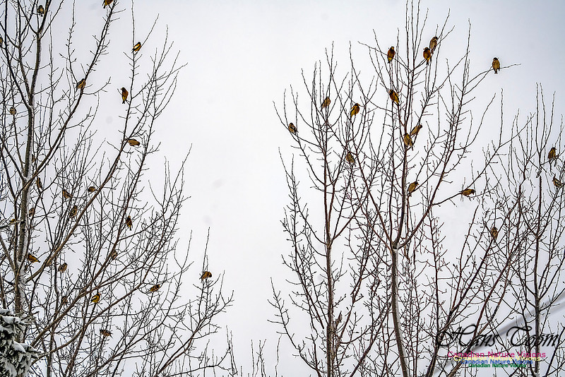
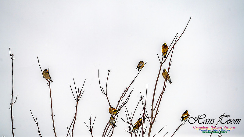
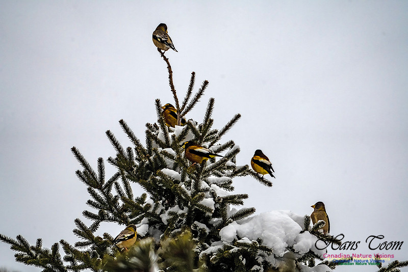
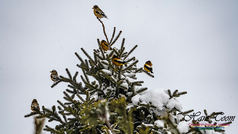
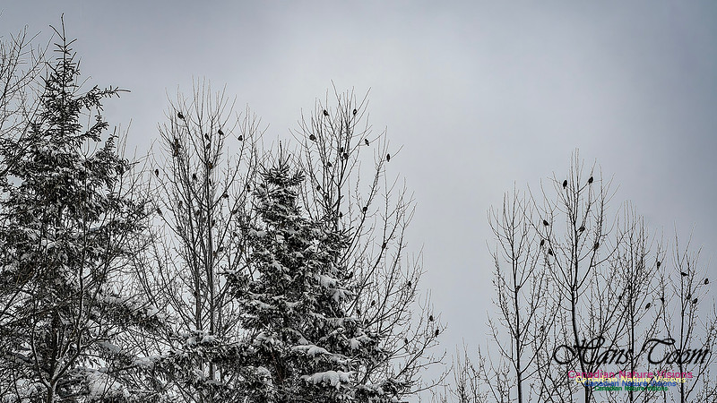
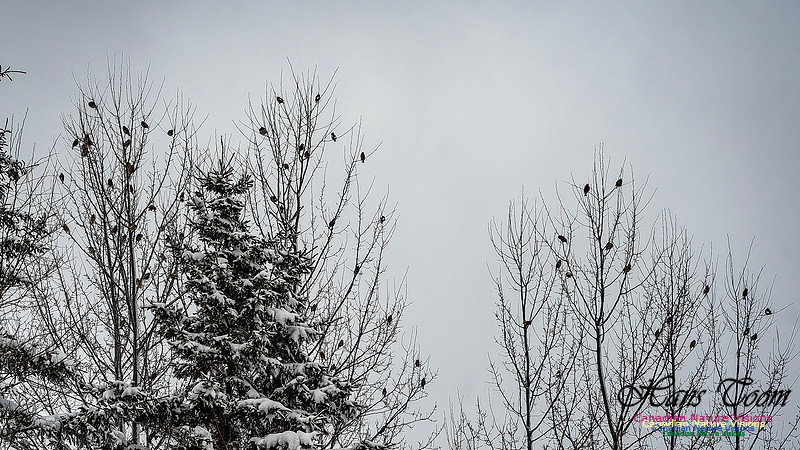
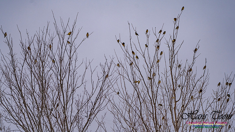
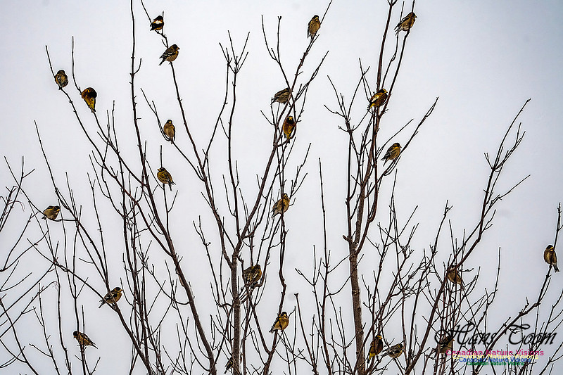
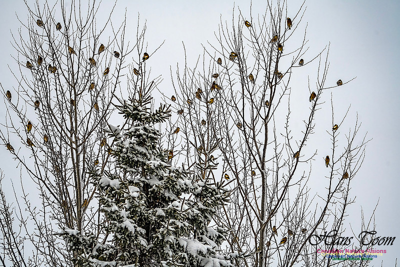
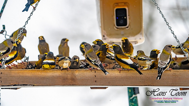
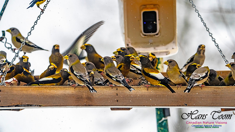
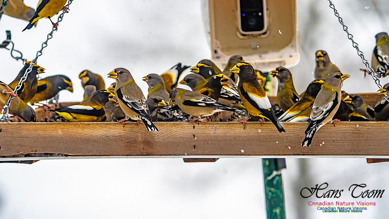
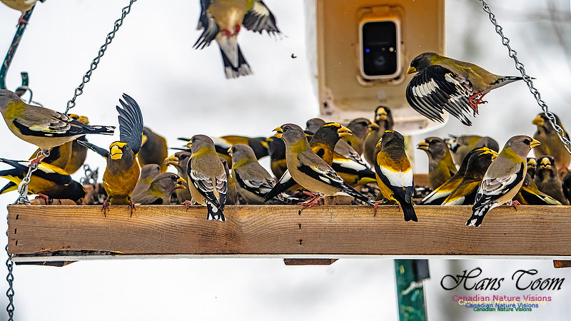
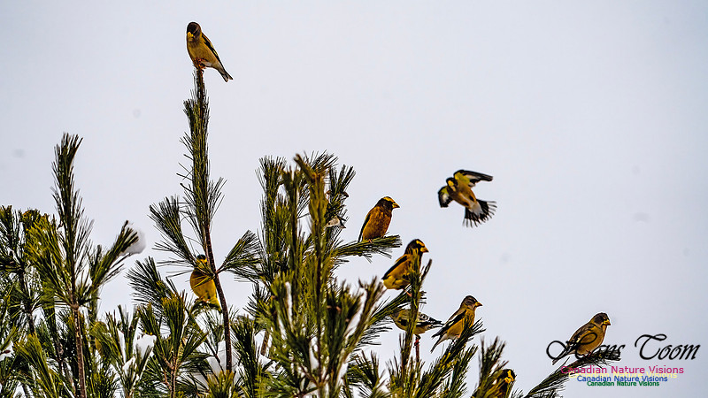
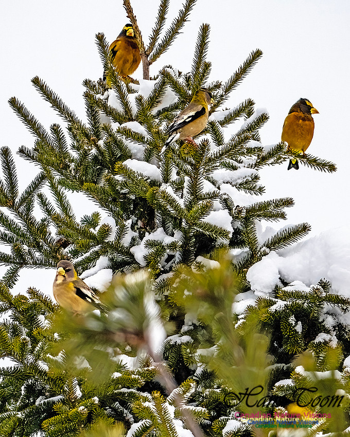
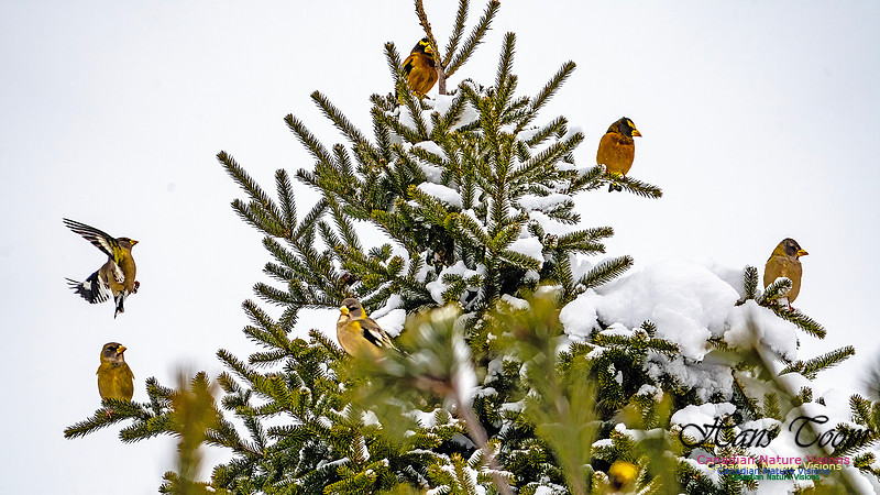
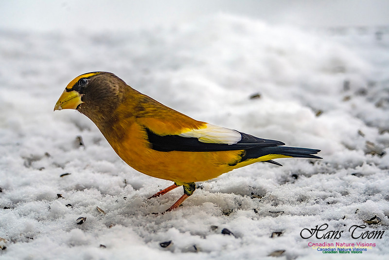
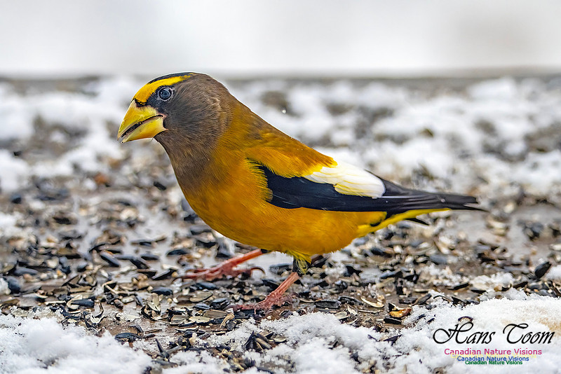
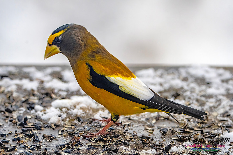
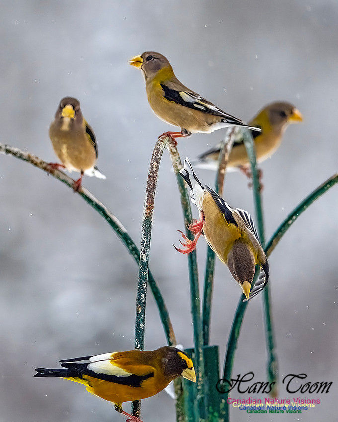
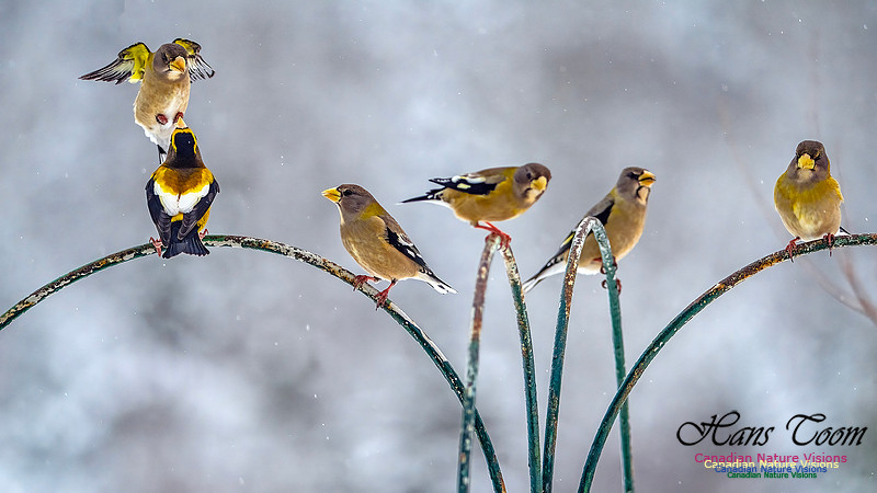
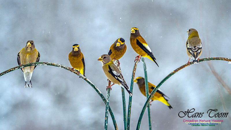
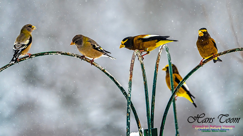
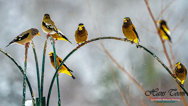
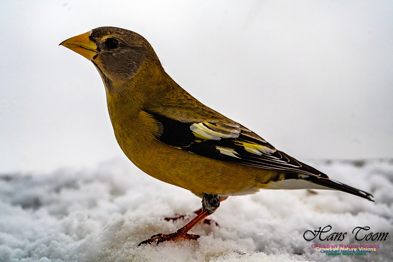
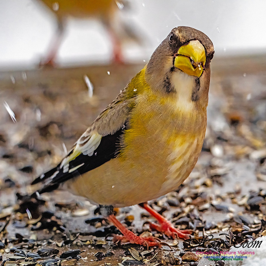
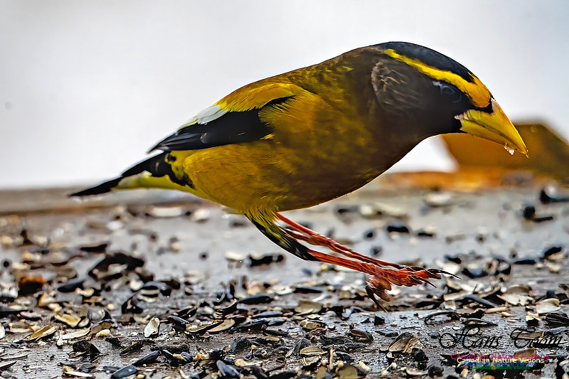
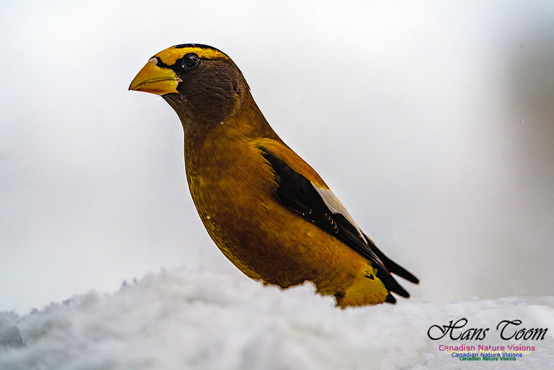
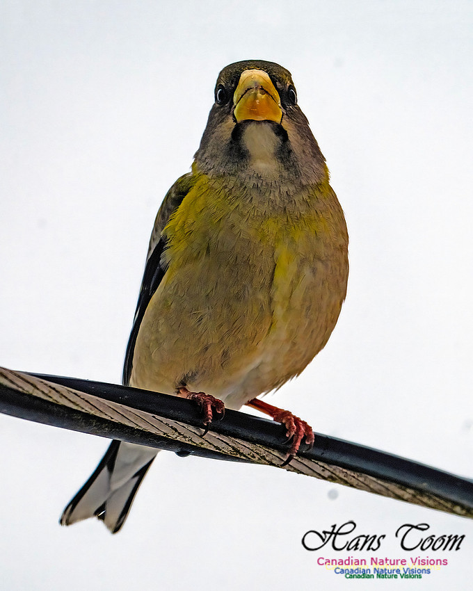
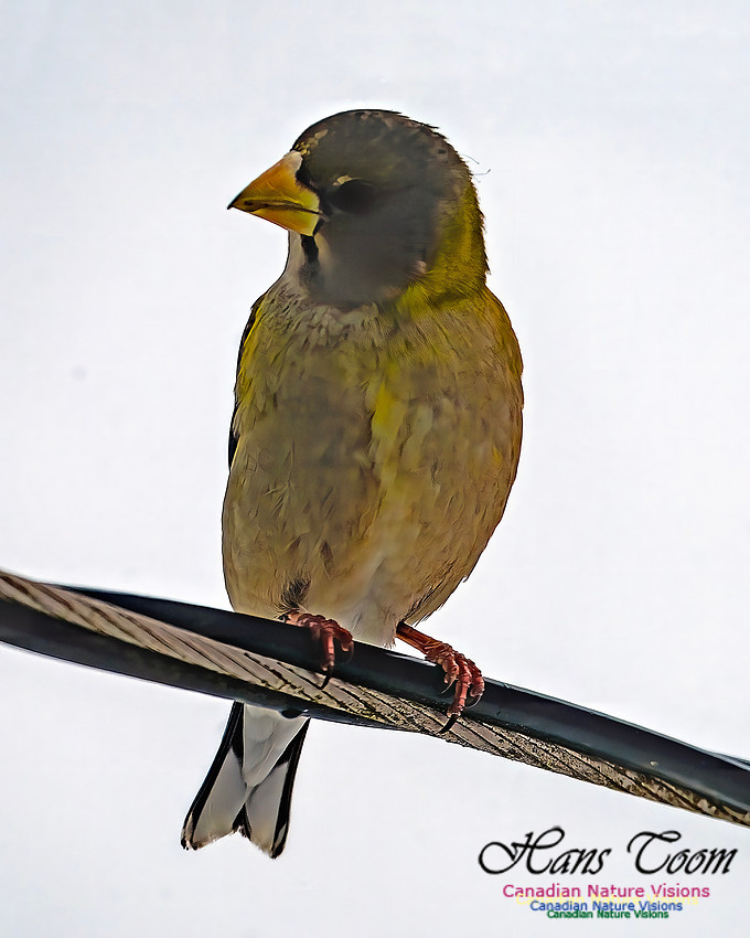
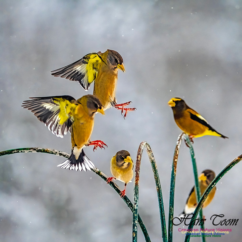
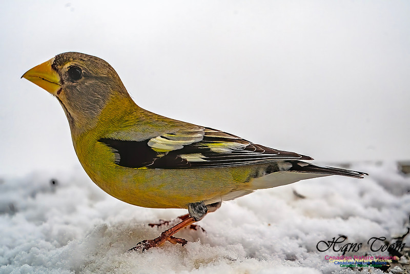
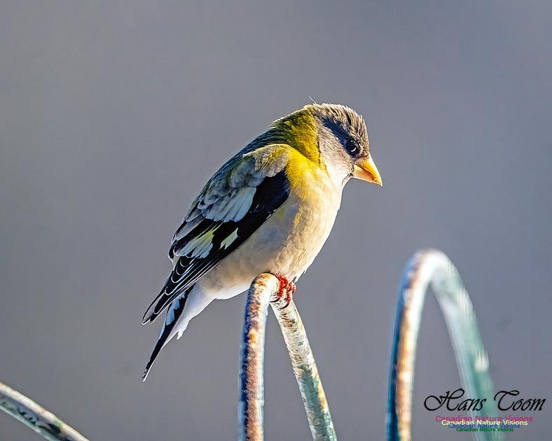
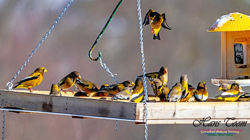
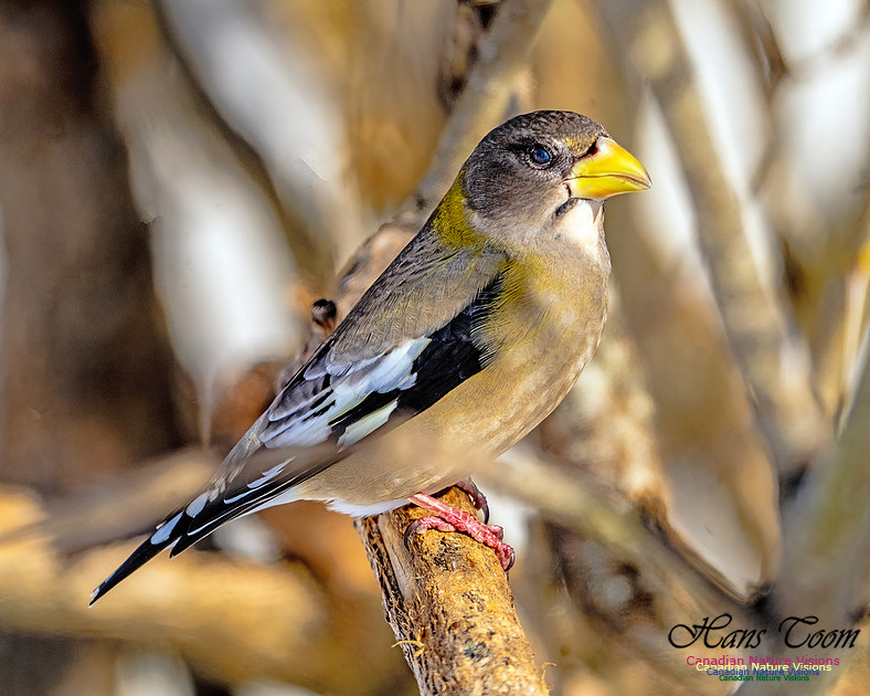
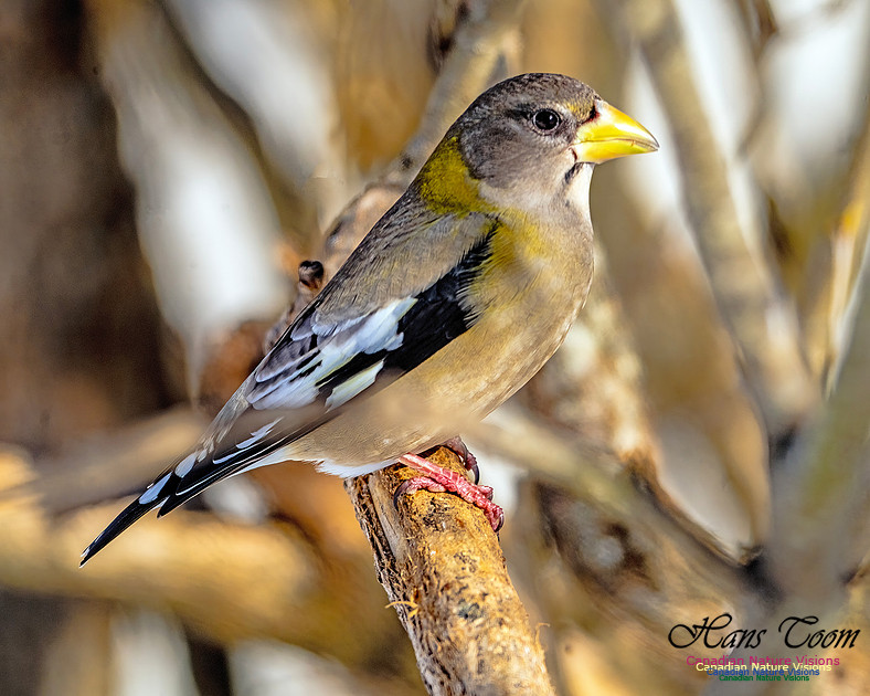
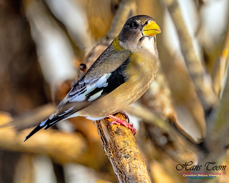
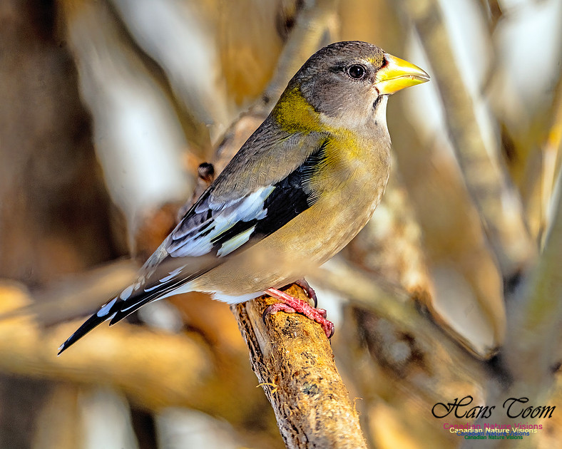
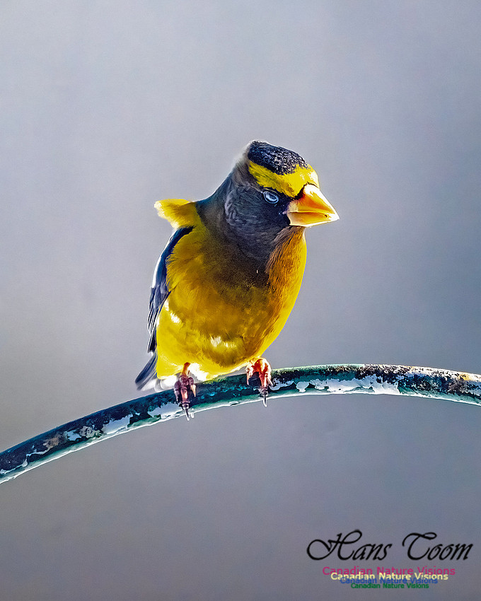
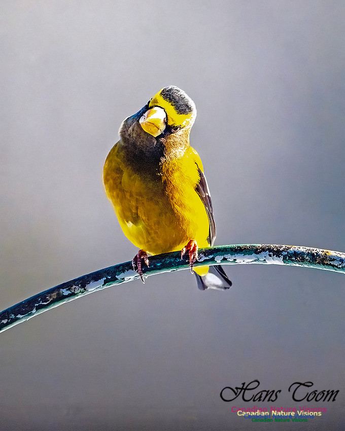
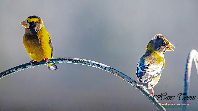
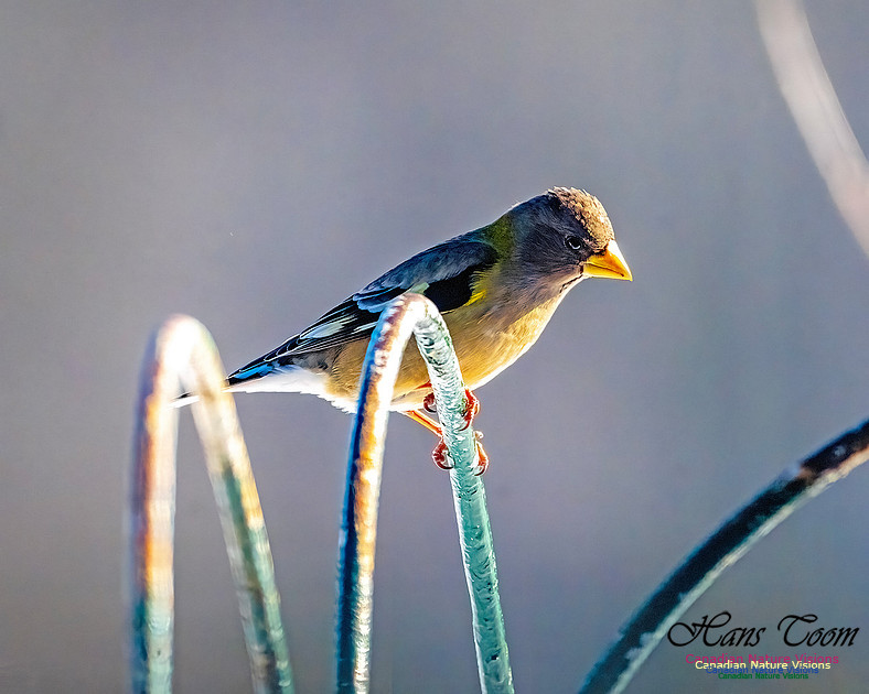
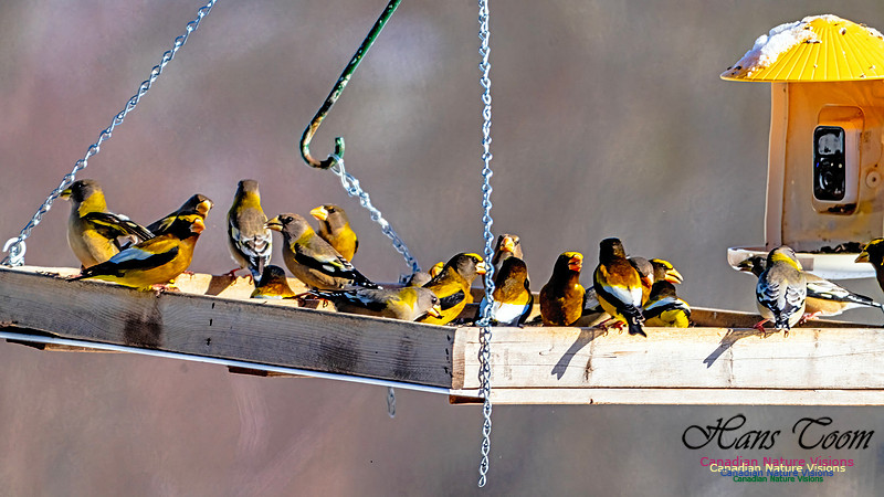
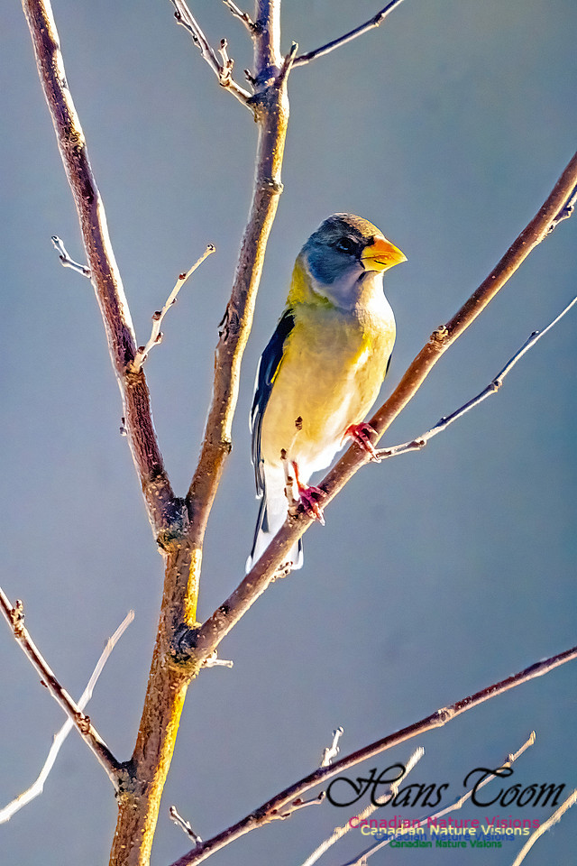
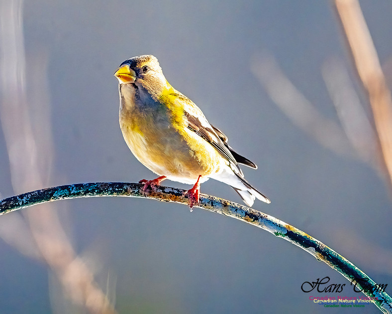
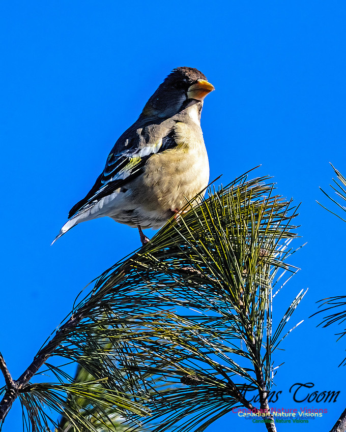
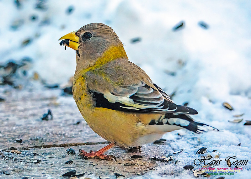
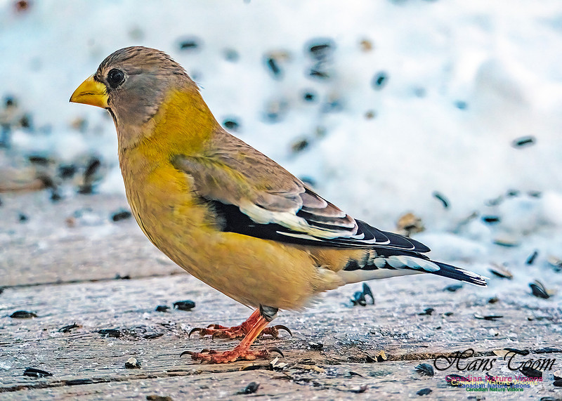
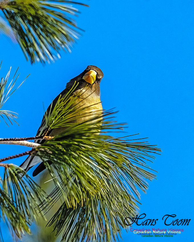
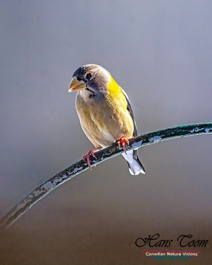
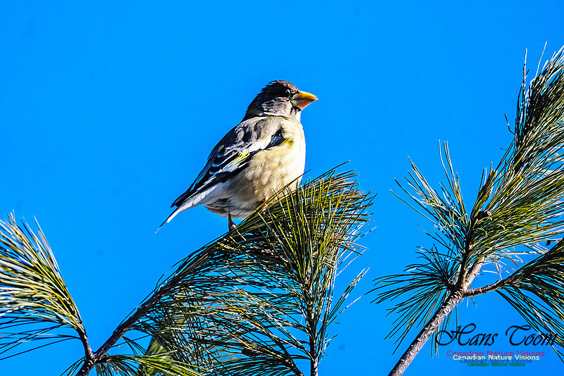
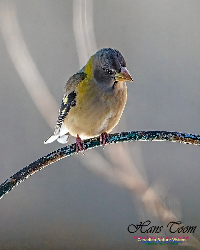
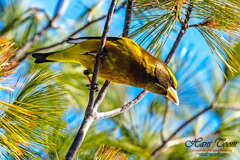
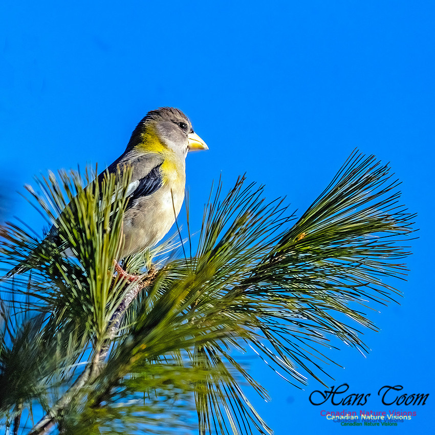
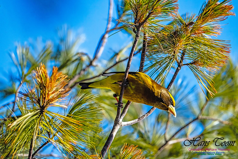
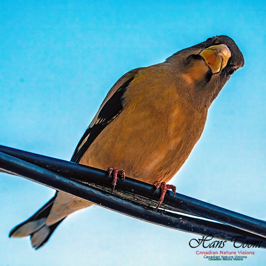
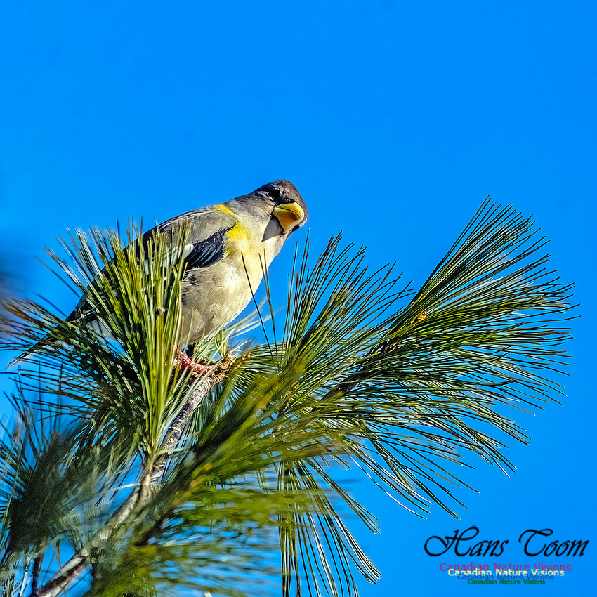
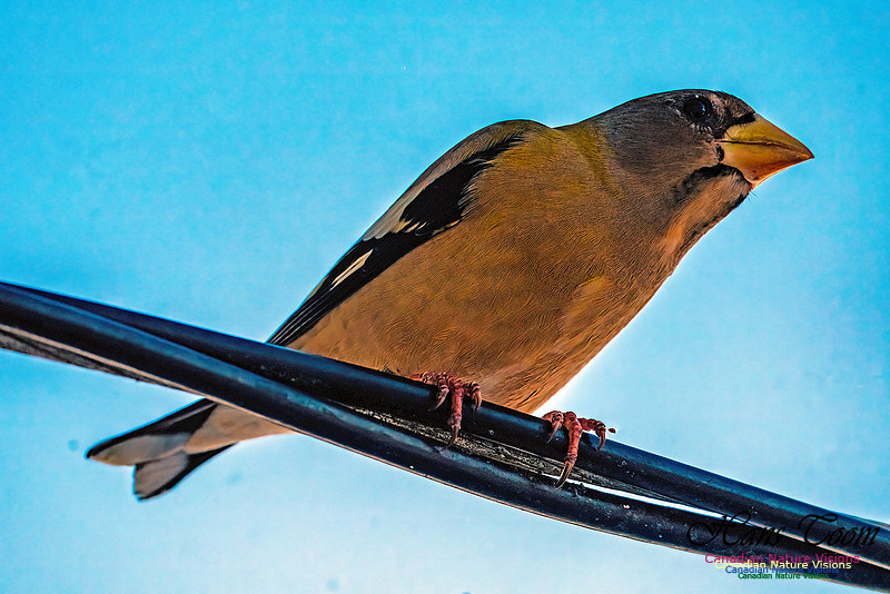
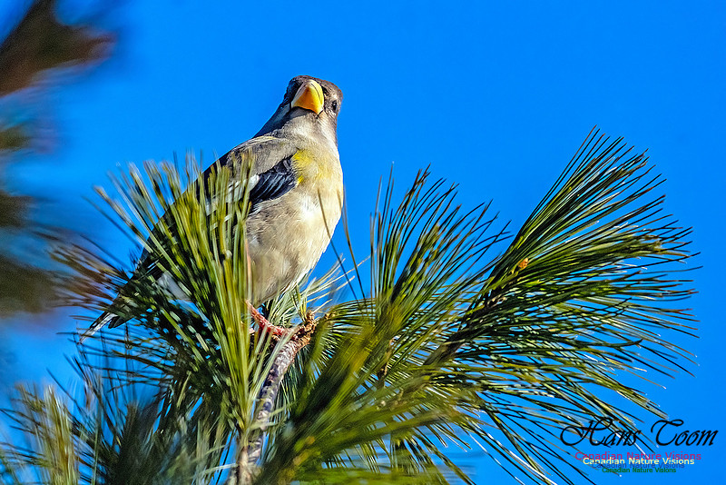
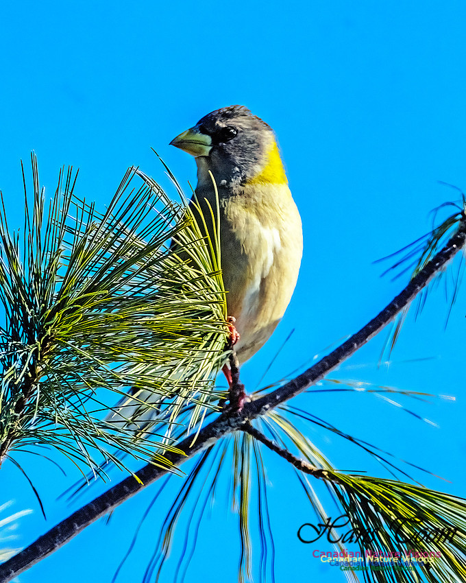
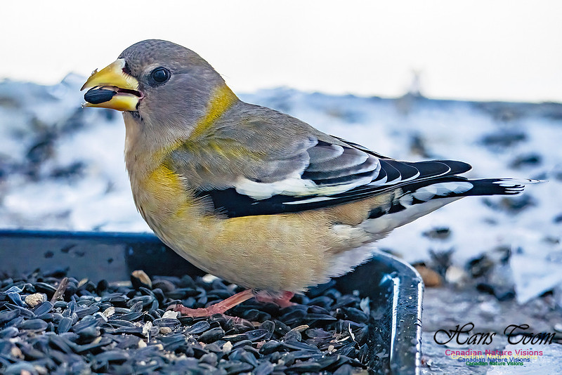
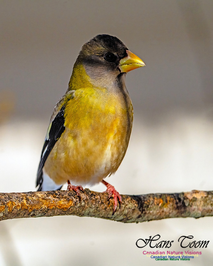
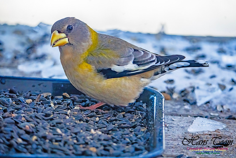
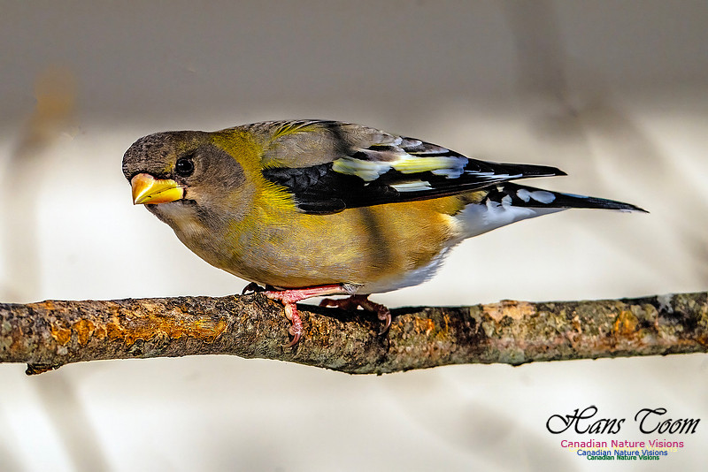
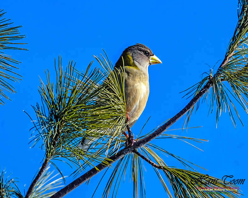
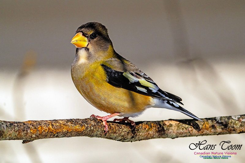
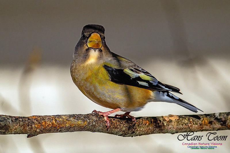
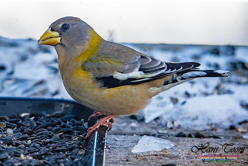
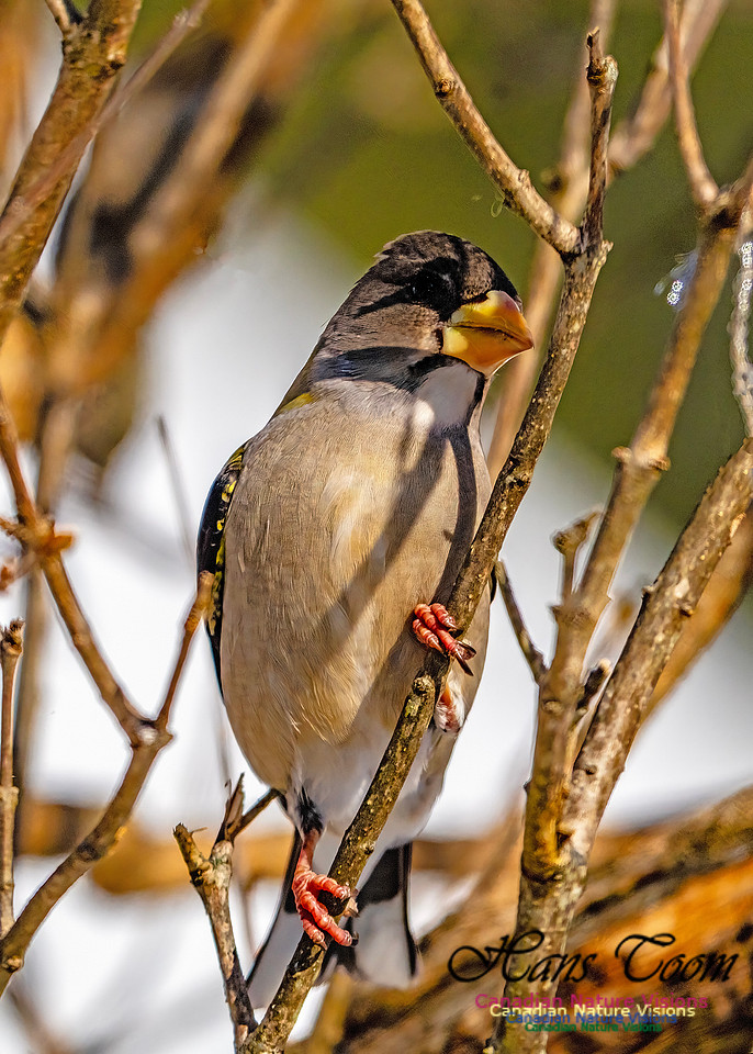
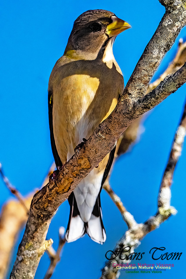
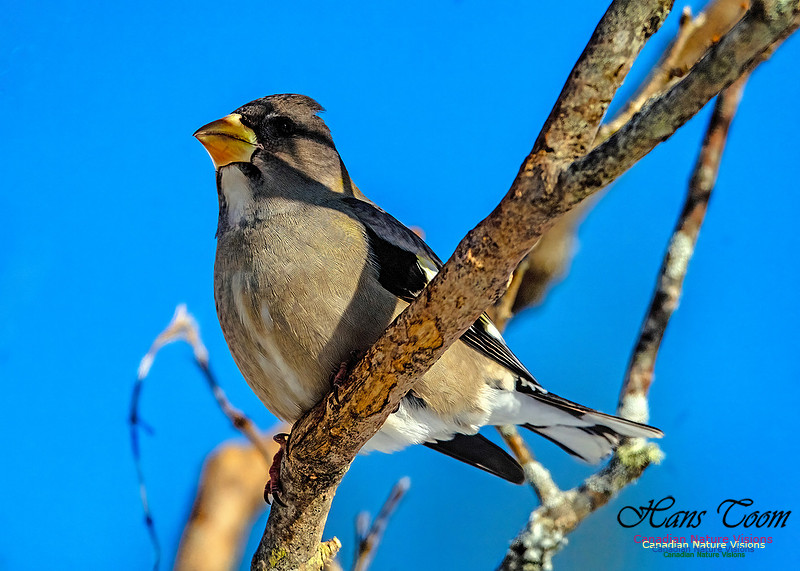
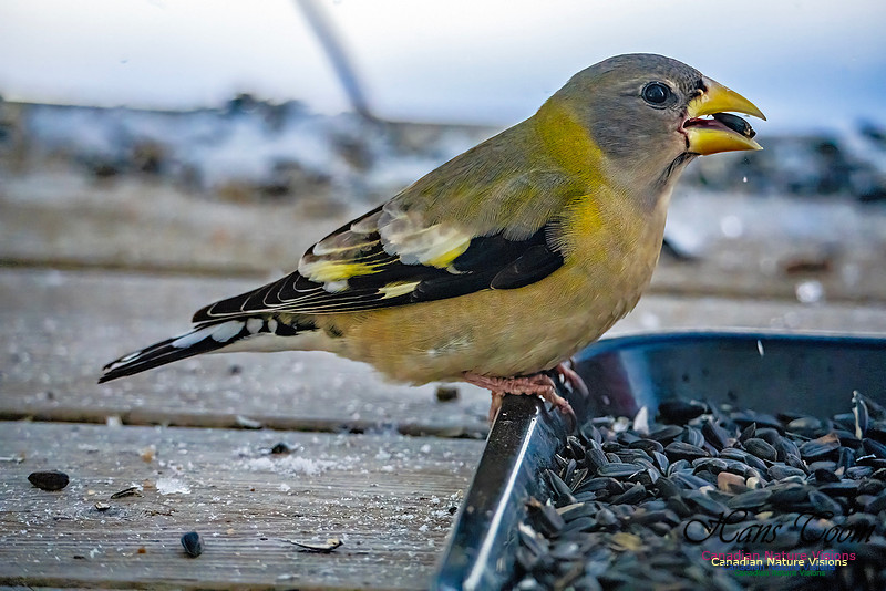
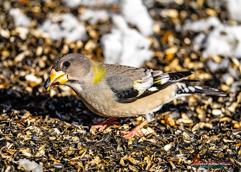
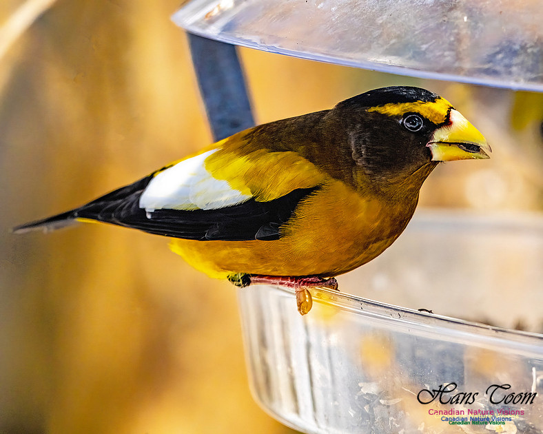
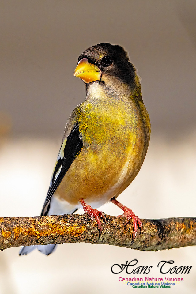
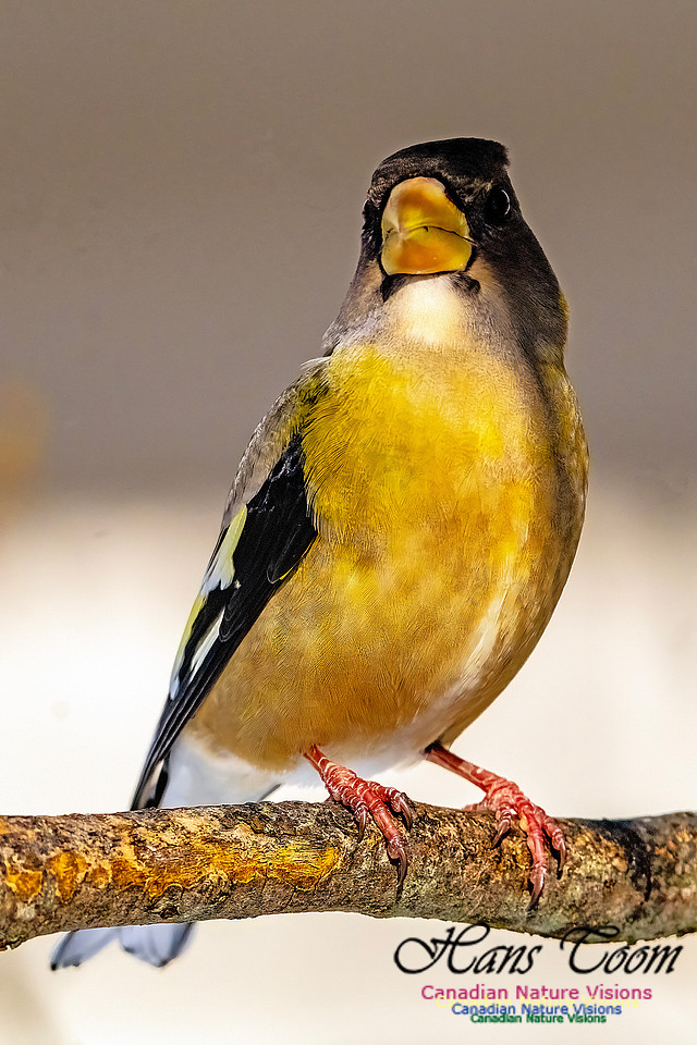
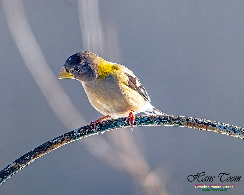
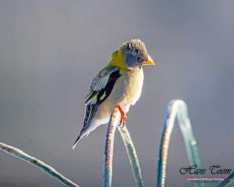
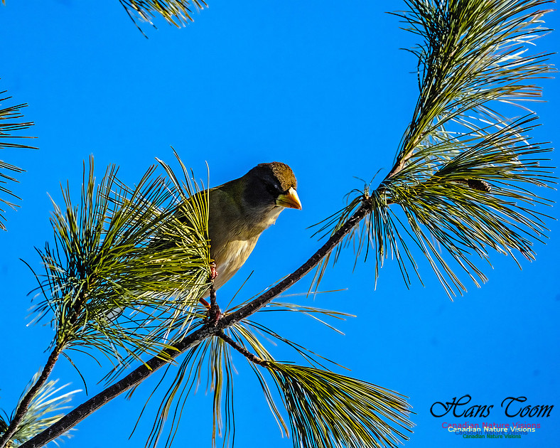
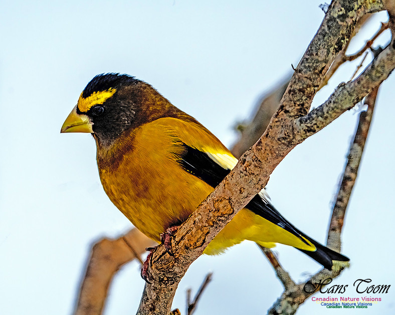
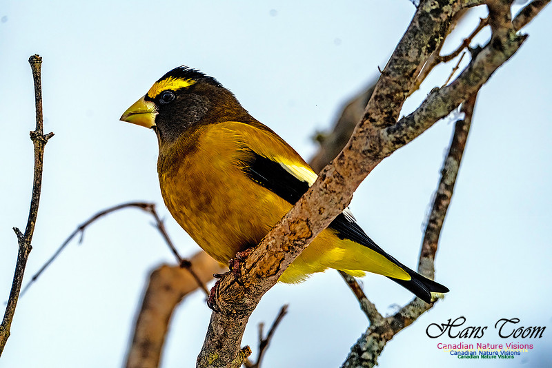
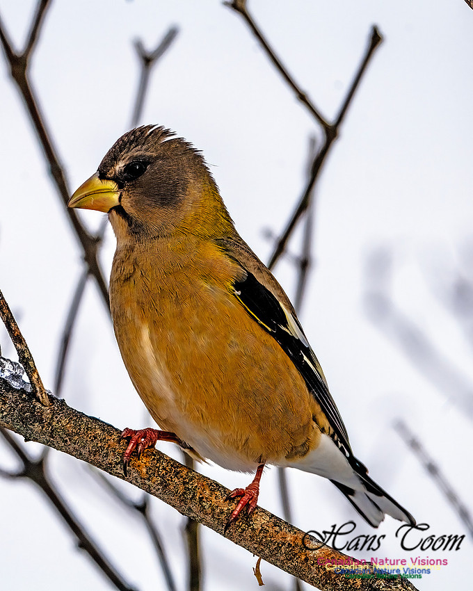
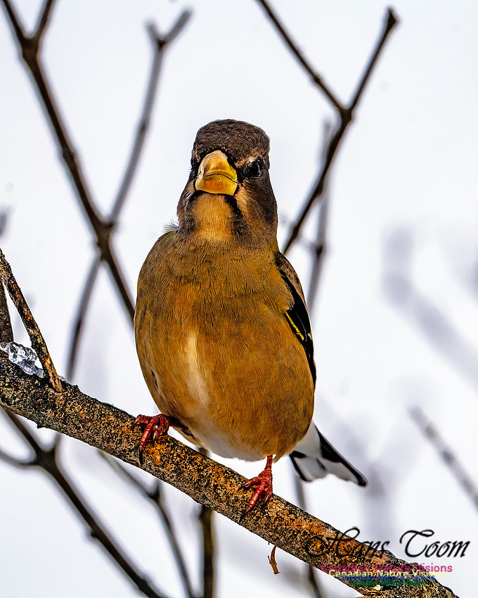
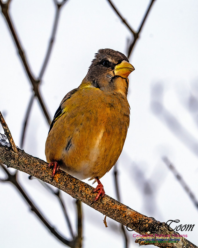
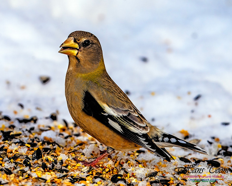
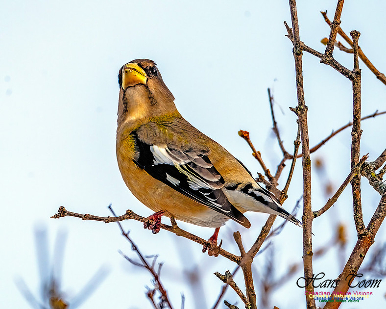
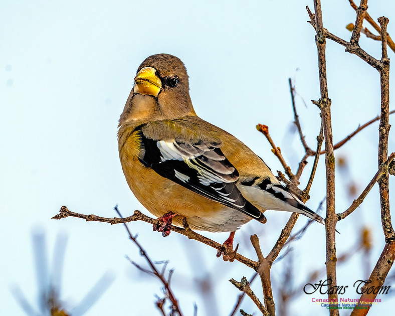
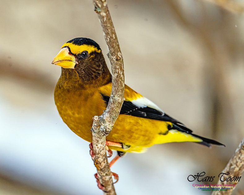
Even More Evening GrosbeaksNow is the time to enjoy the Evening Grosbeaks, watch them and photograph them. They won't be back in these numbers for 30 years! Even More Evening Grosbeaks
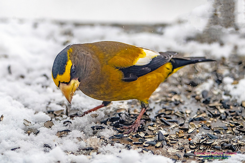
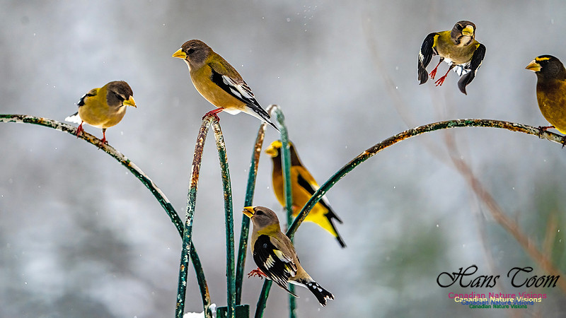
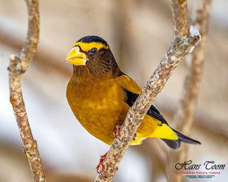
Evening GrosbeaksThis year has the most spectacular eruption of Evening Grosbeaks I've experienced anywhere in the last 30 years. In most years one struggles to find one so get out and see and photograph this elegant bird before they leave for another 30 years. Evening Grosbeaks
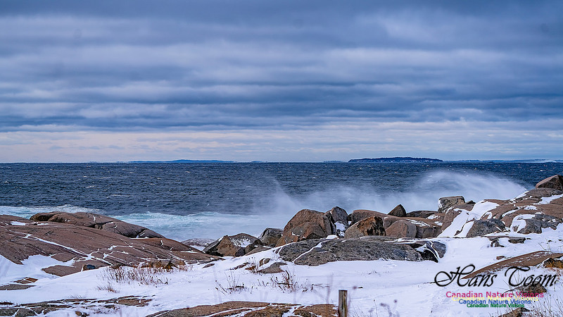
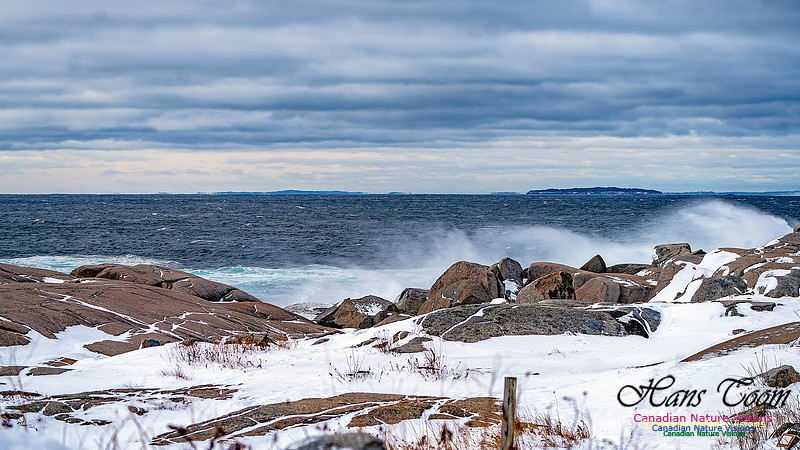
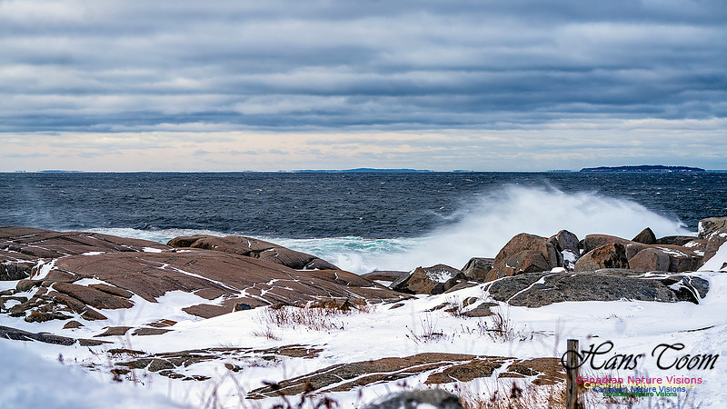
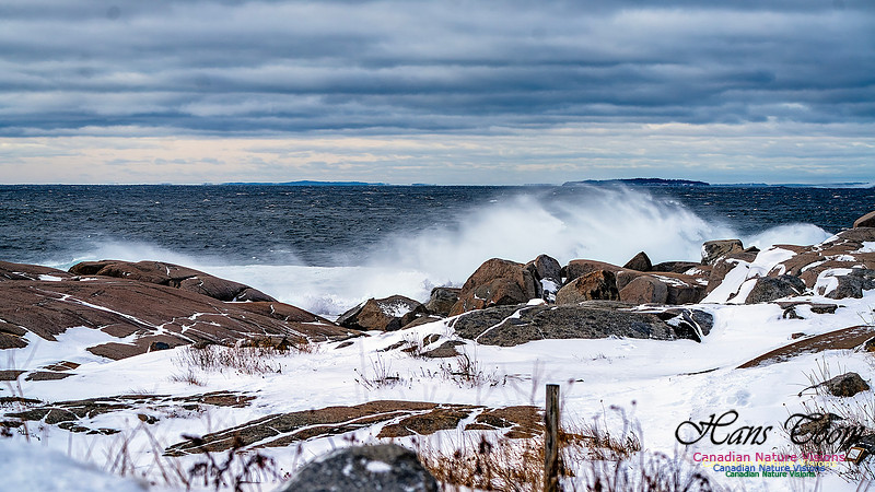
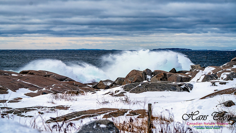
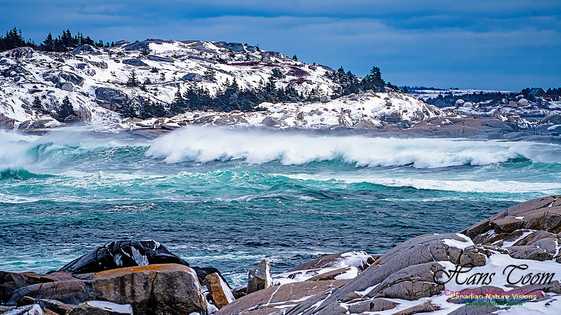
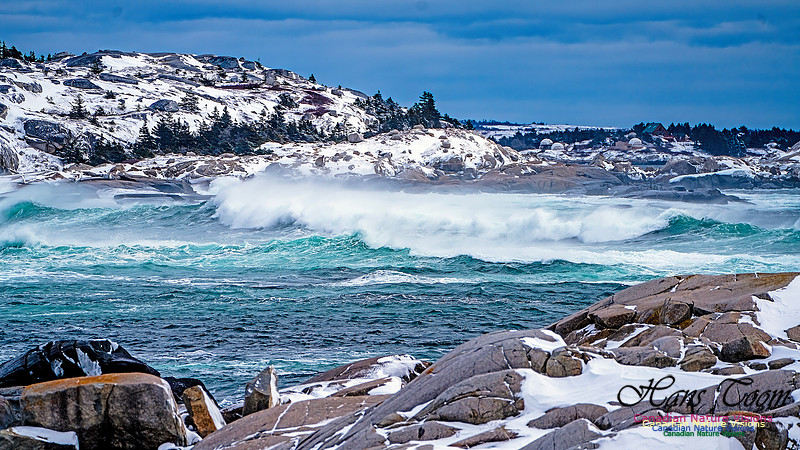
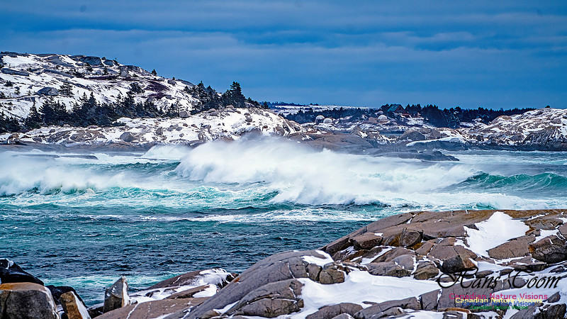
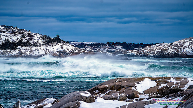
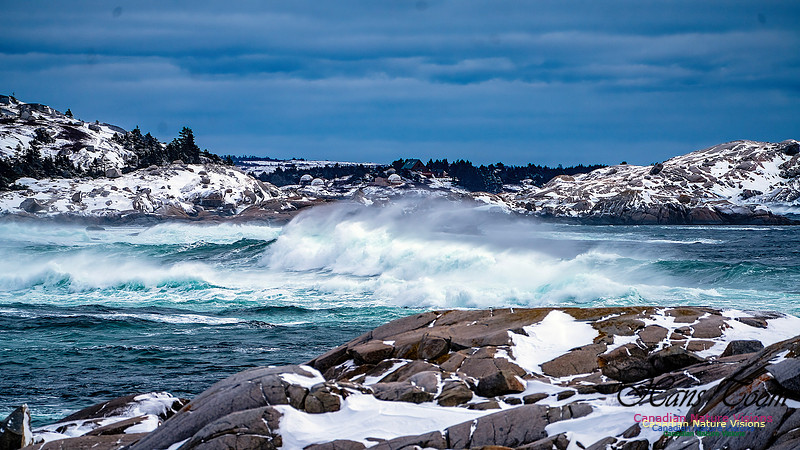
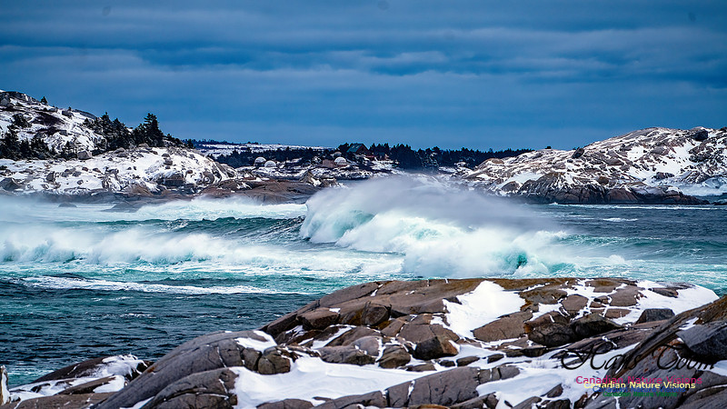
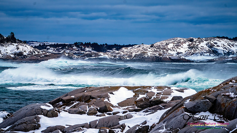
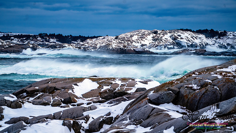
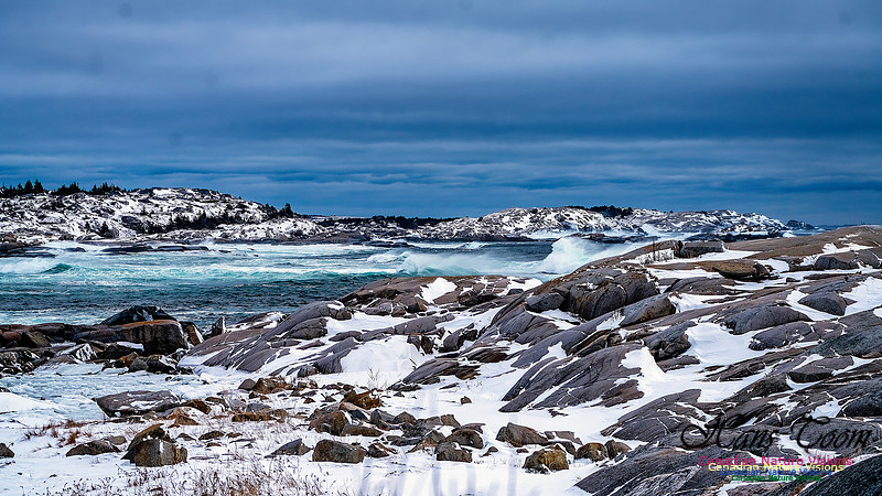
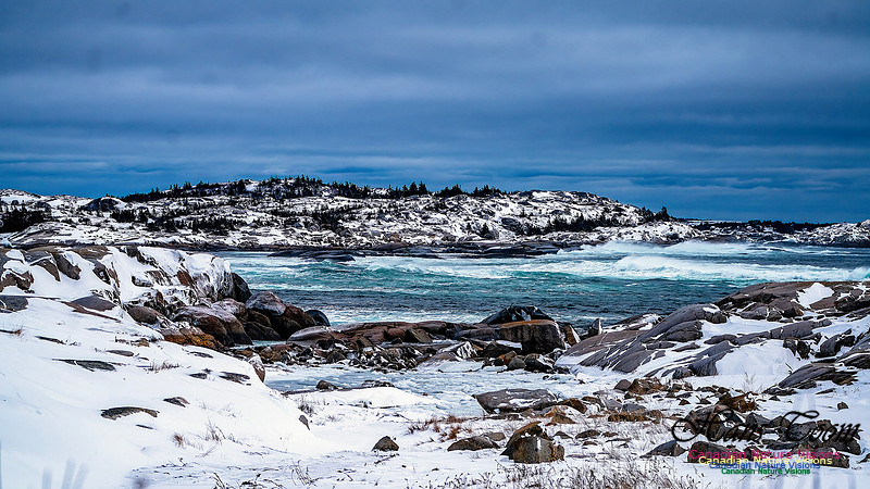
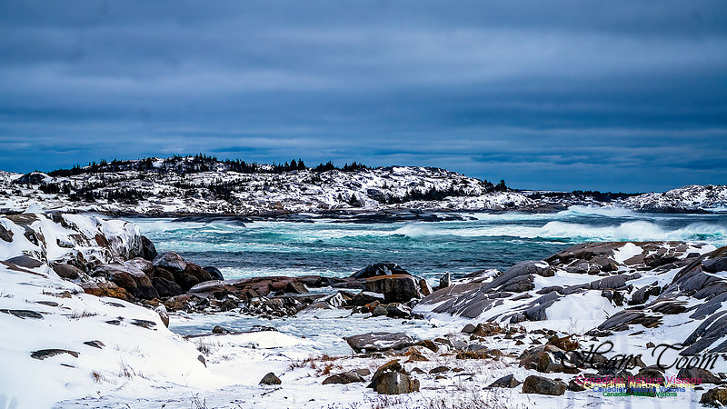
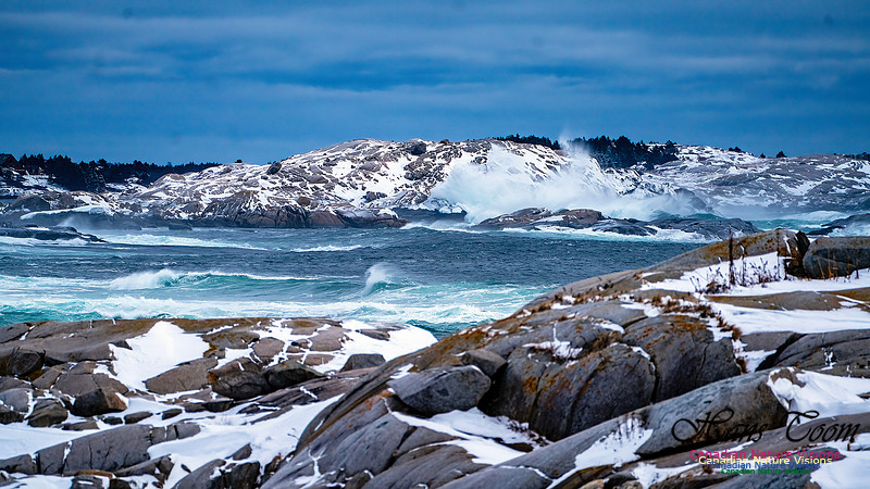
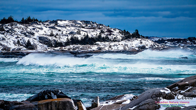
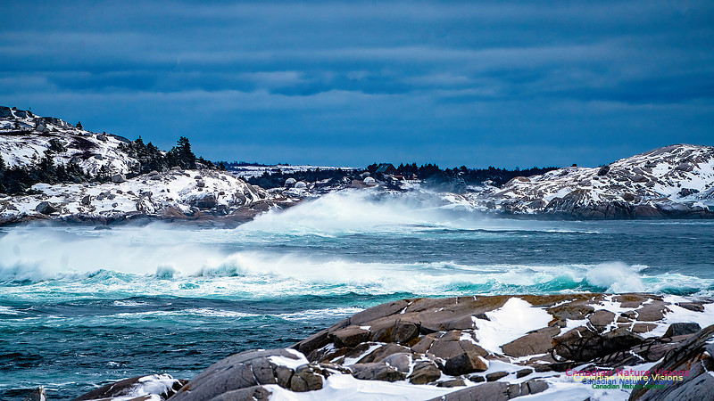
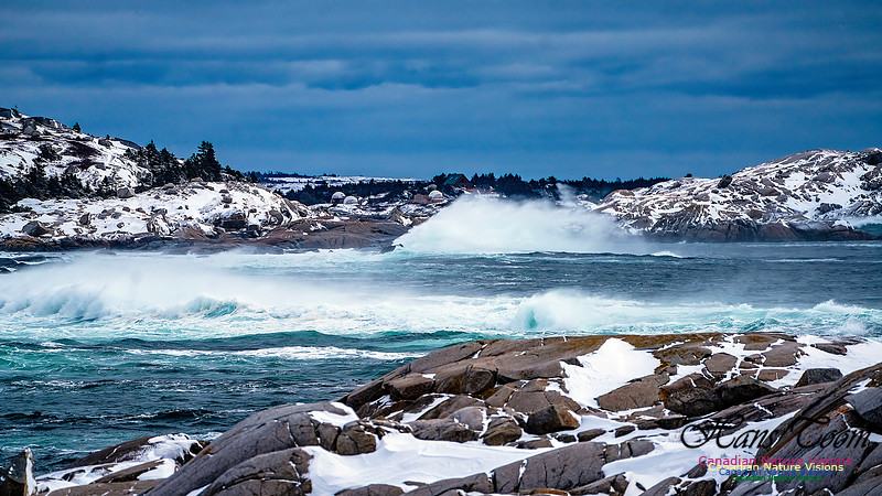
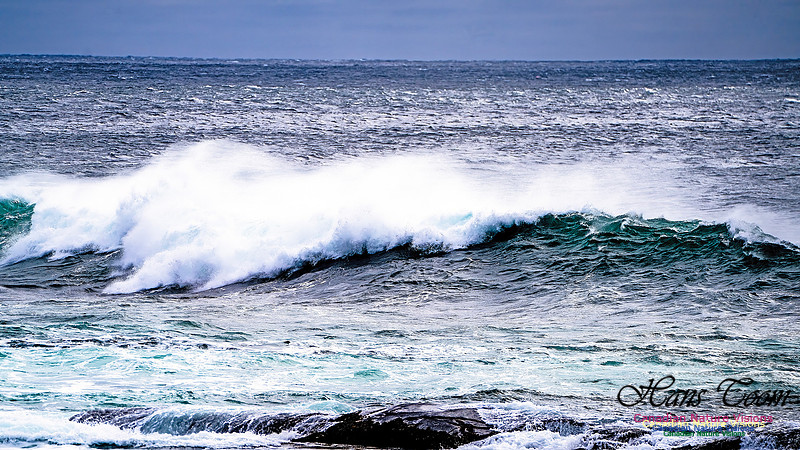
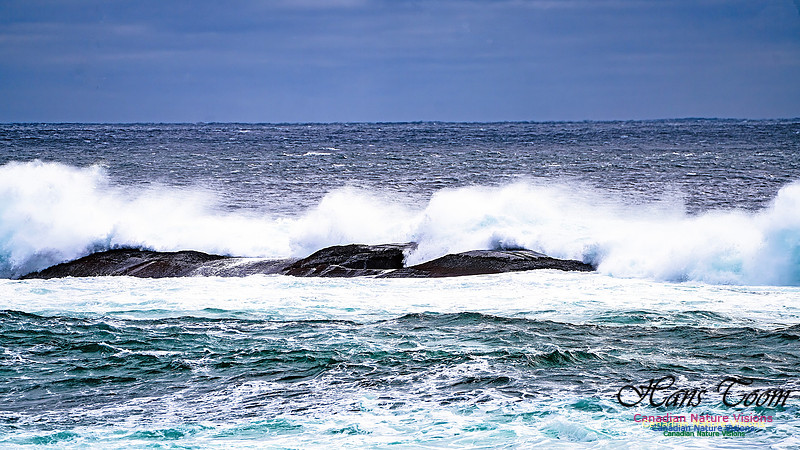
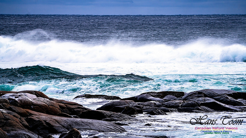
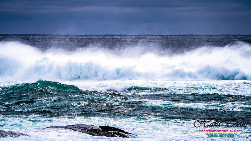
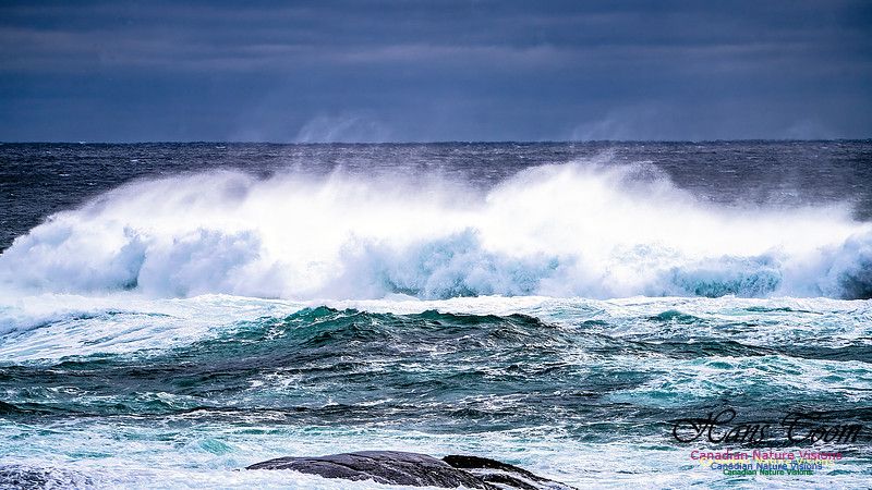
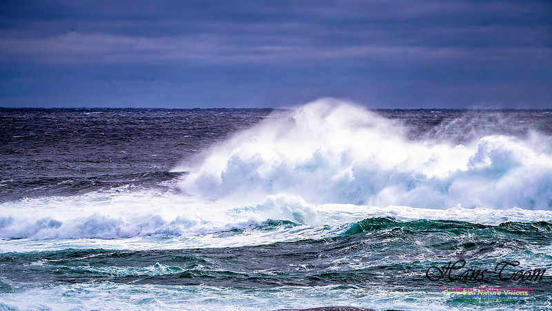
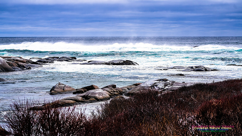
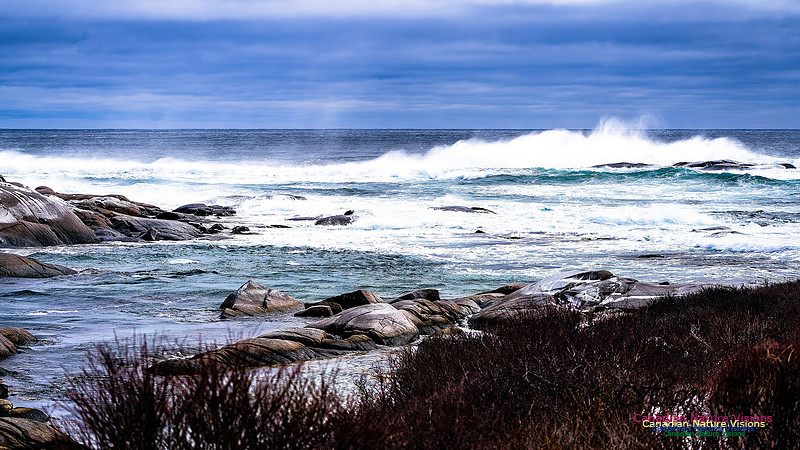
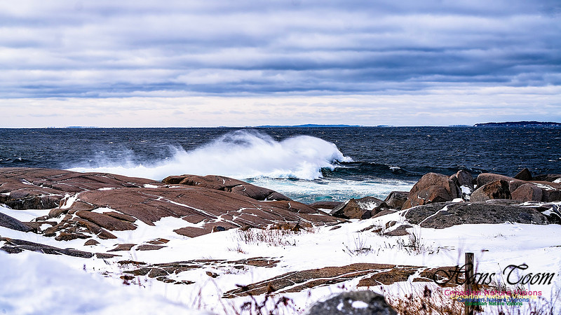
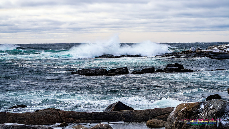
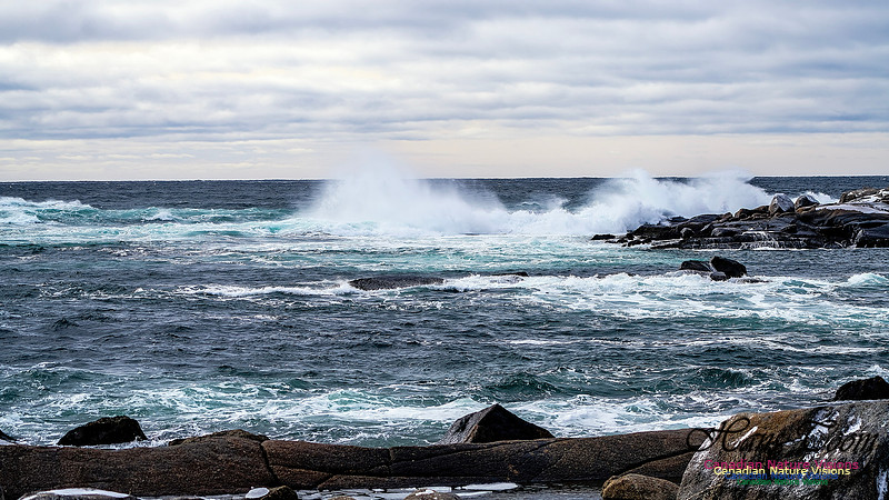
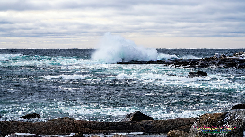
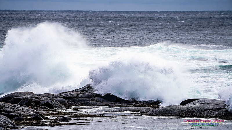
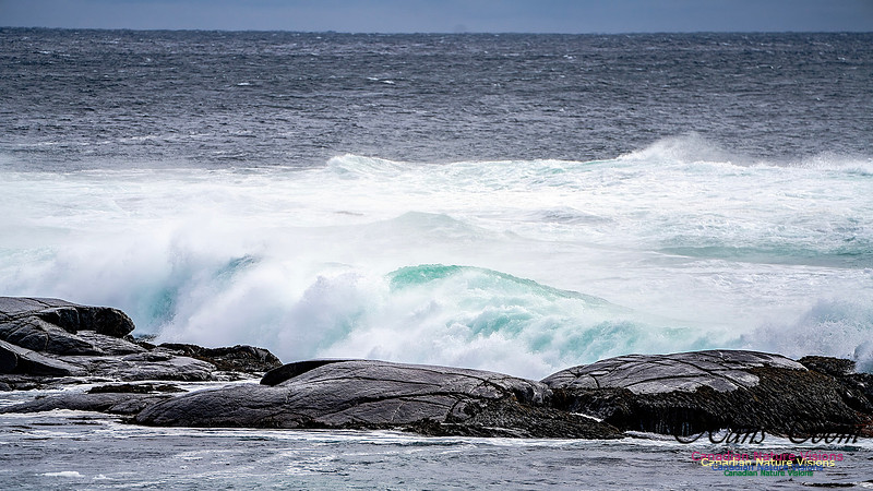
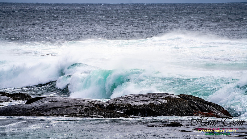
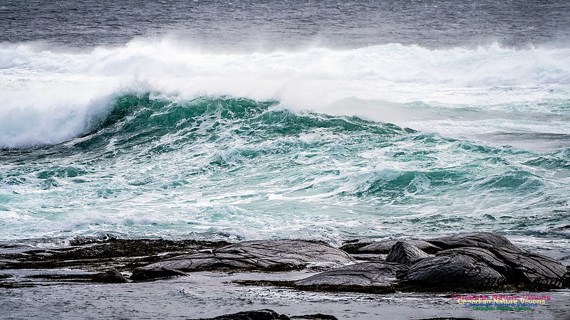
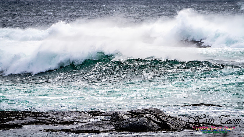
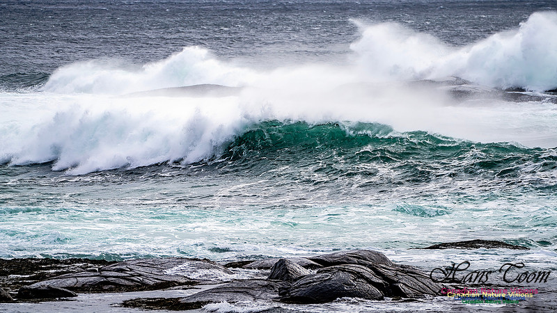
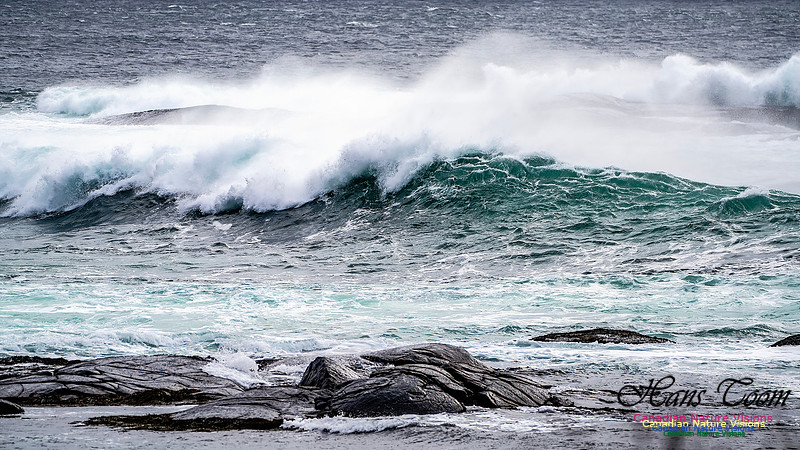
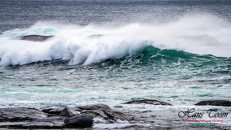
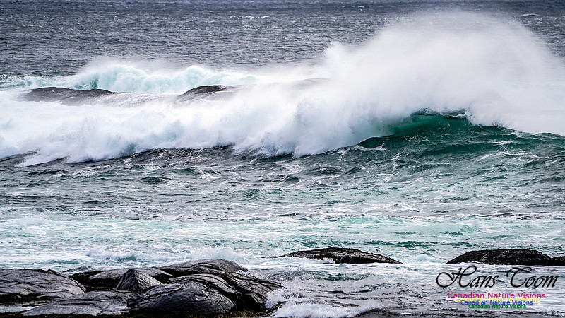
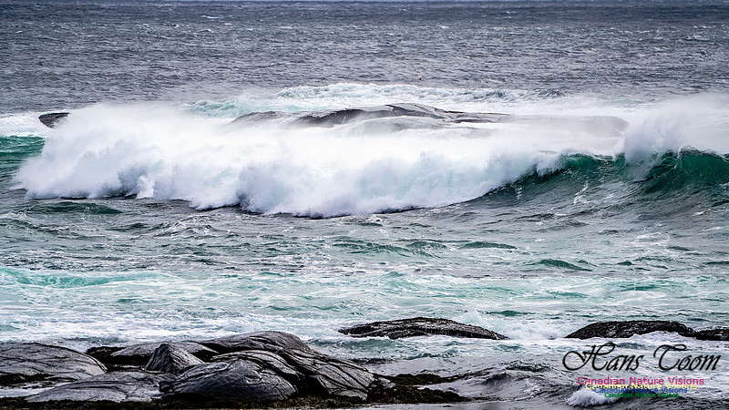
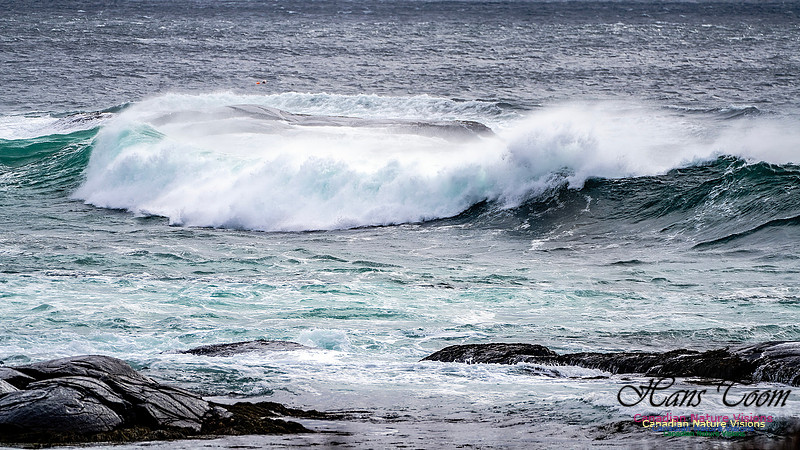
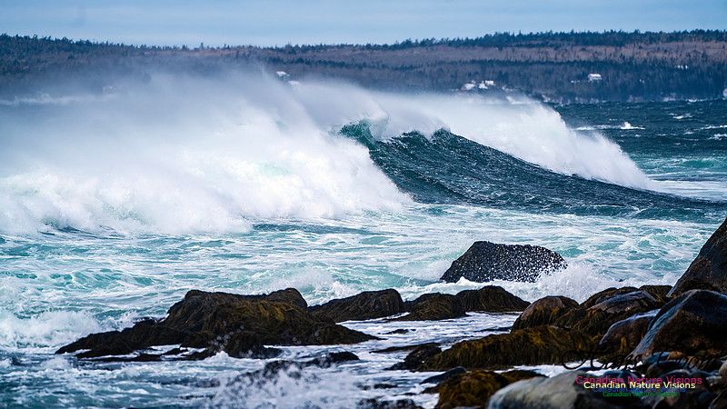
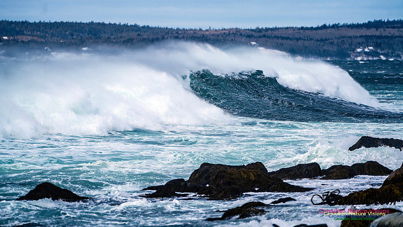
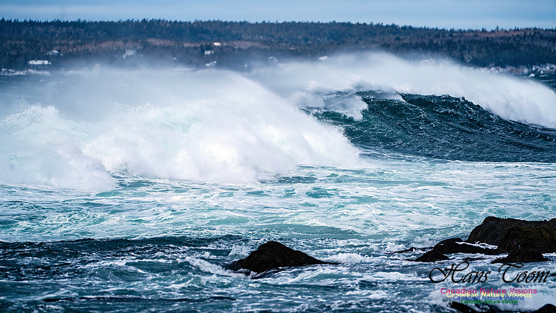
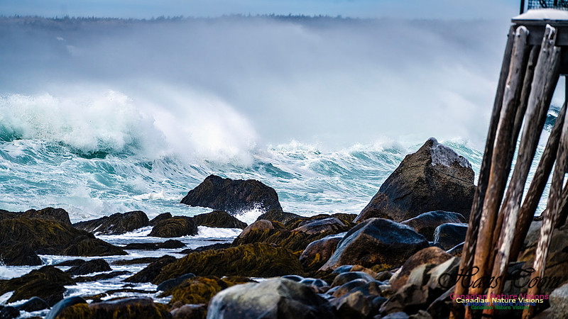
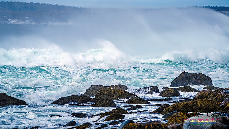
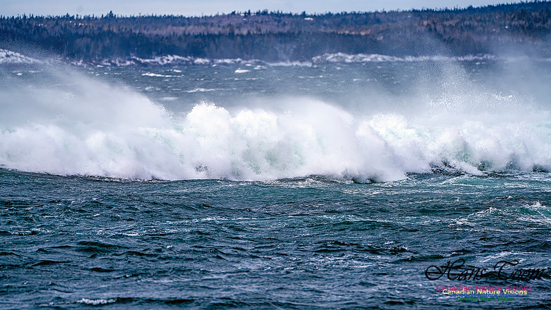
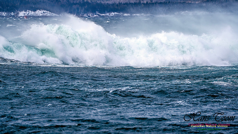
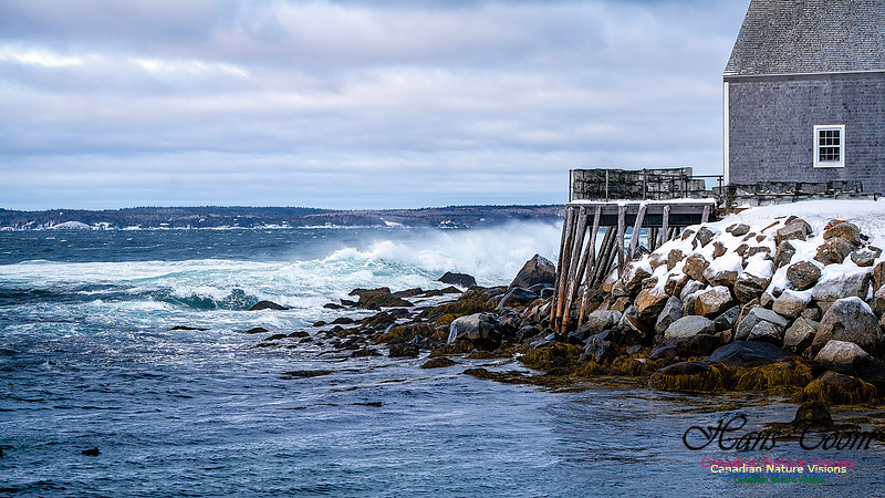
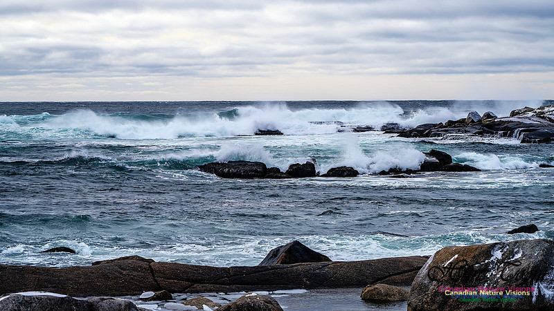
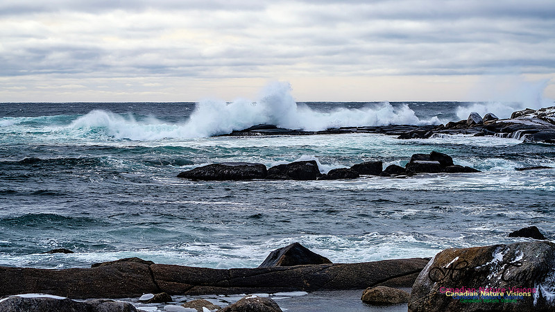
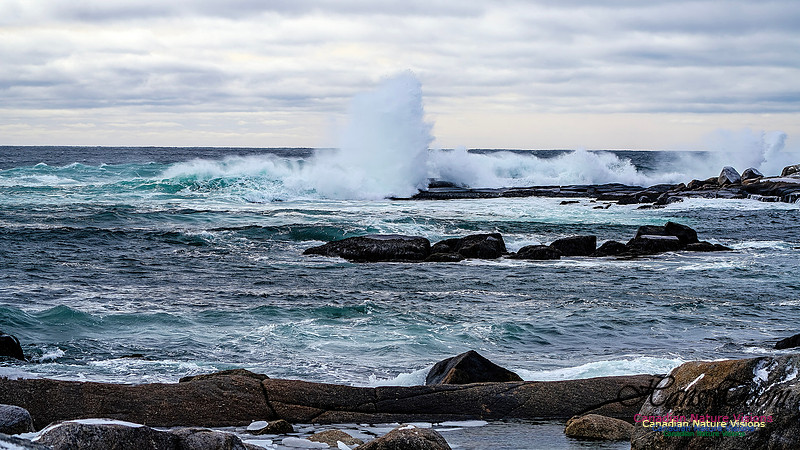
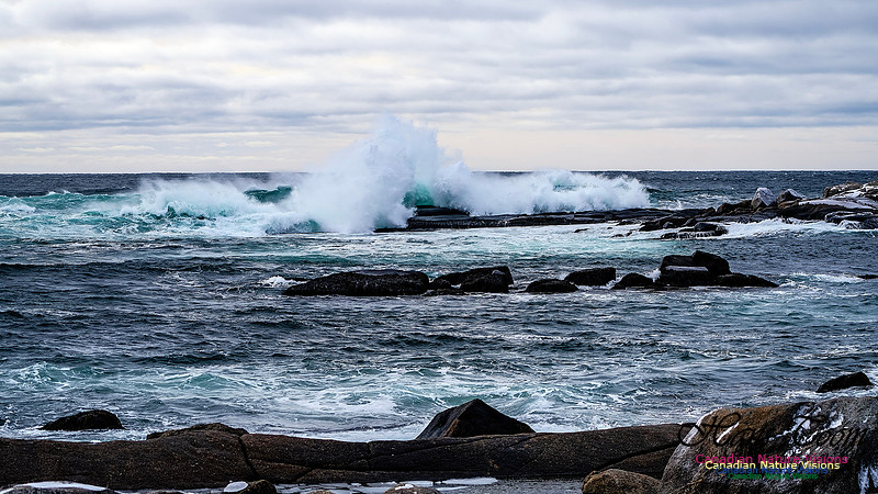
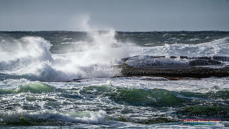
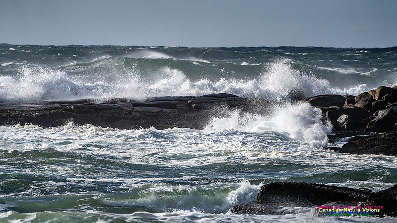
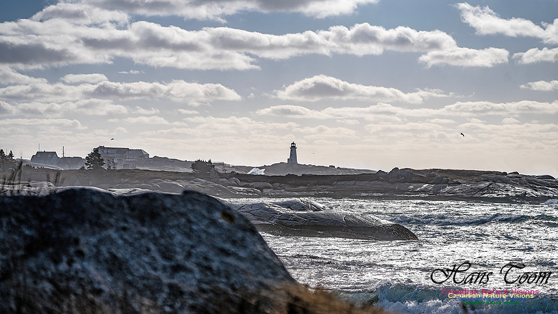
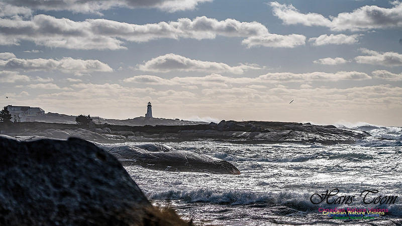
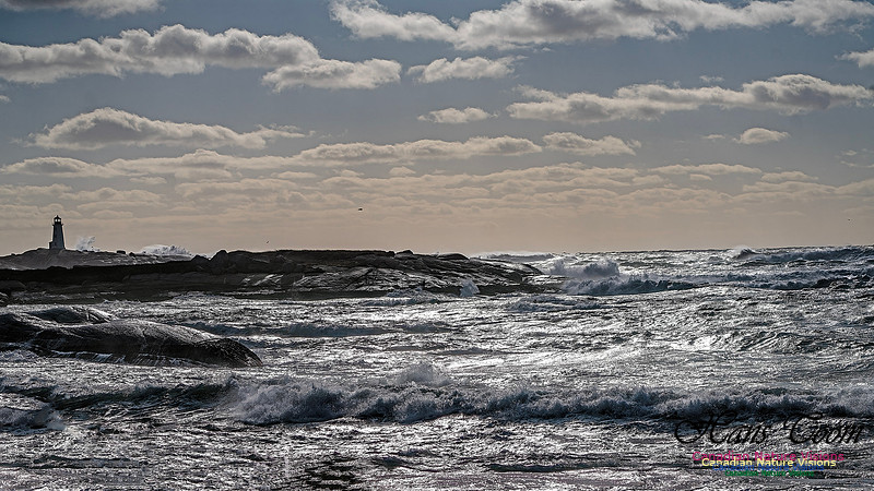
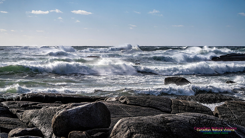
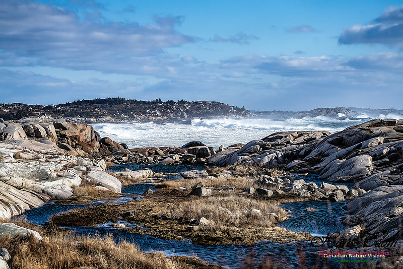
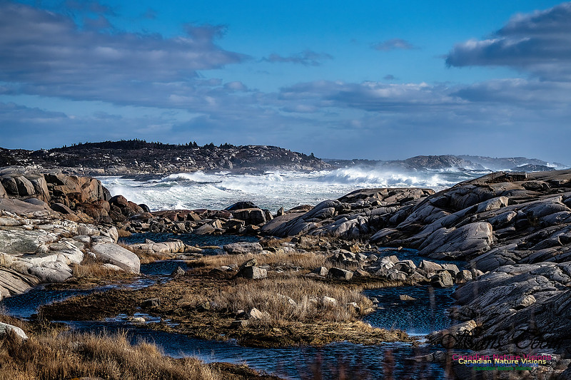
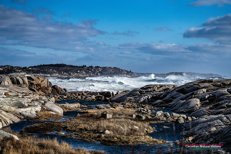
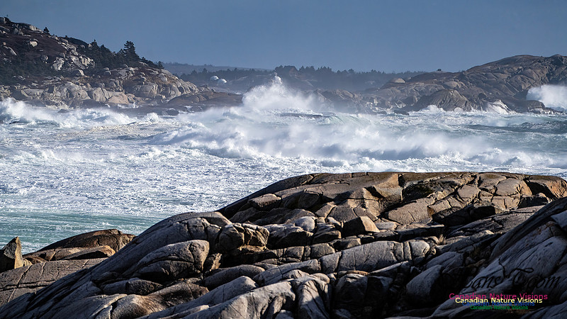
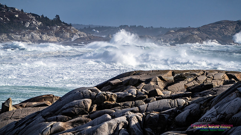
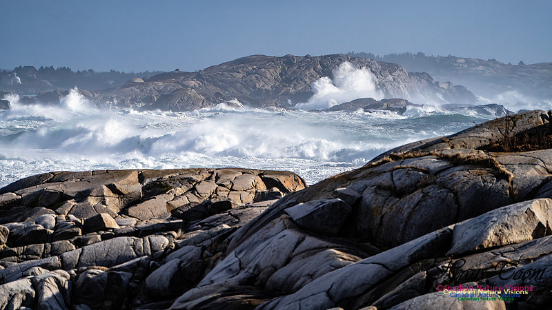
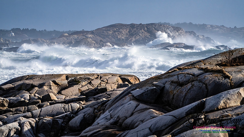
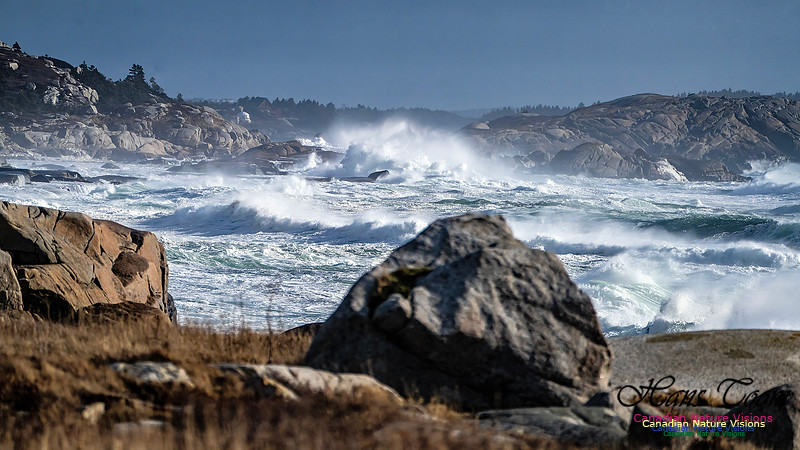
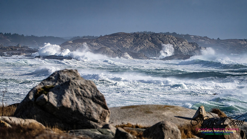
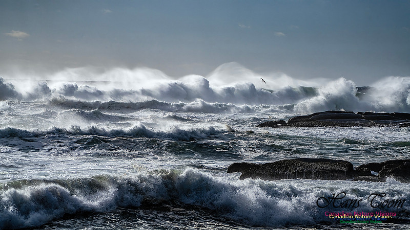
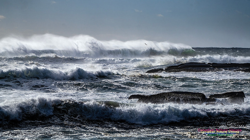
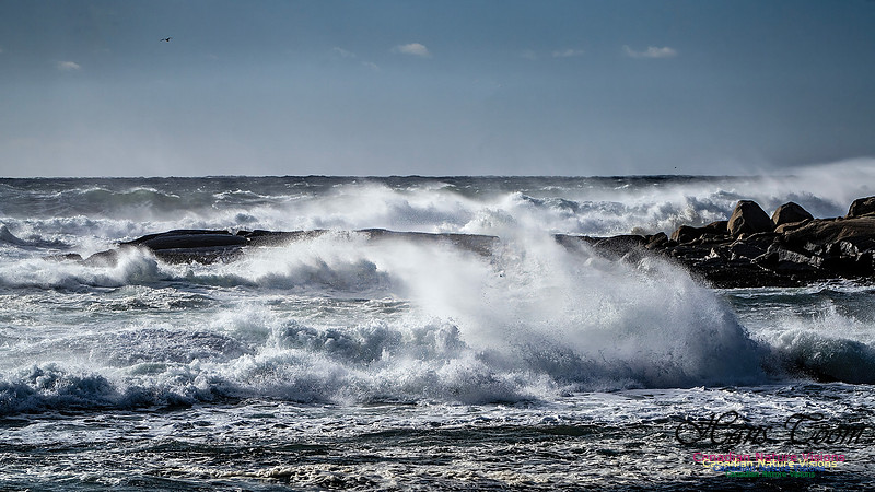
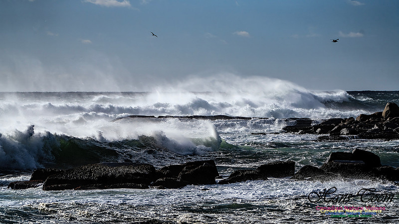
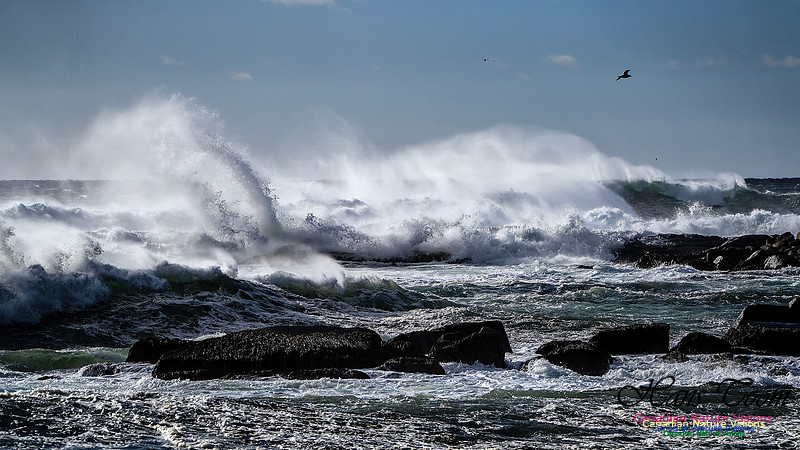
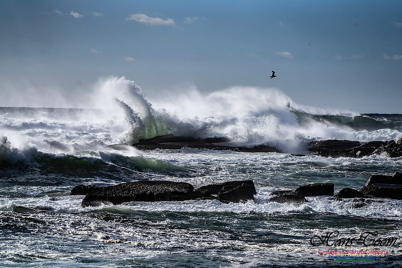
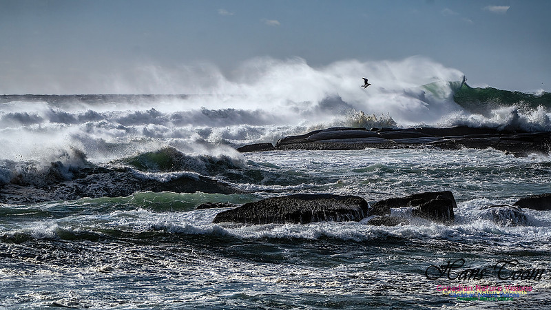
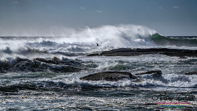
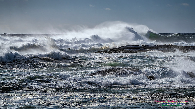
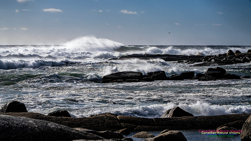
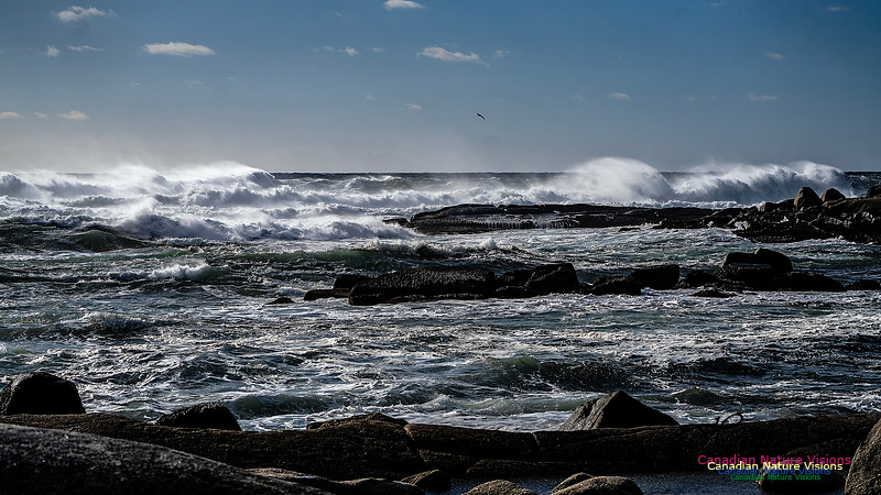
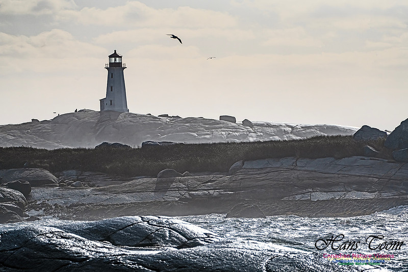
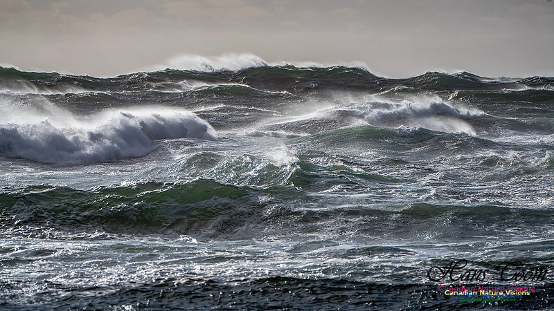
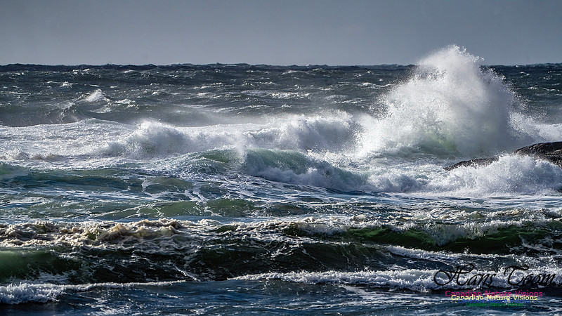
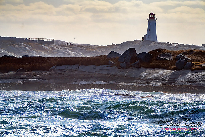
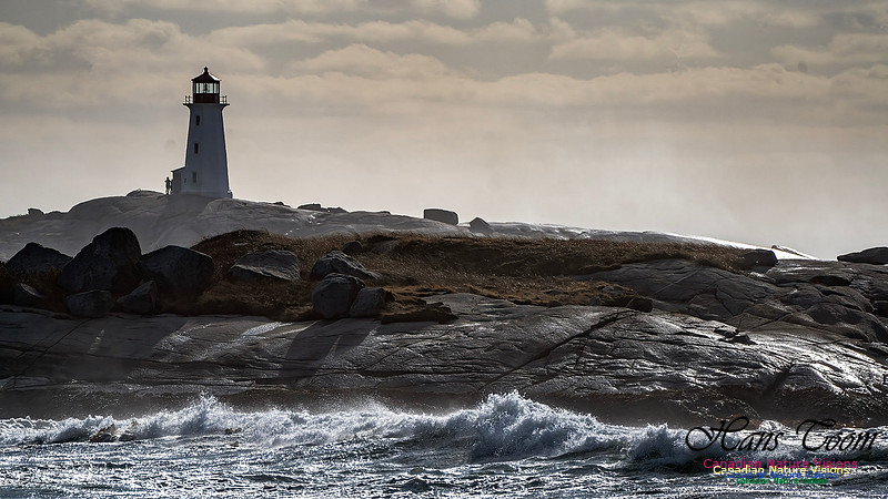
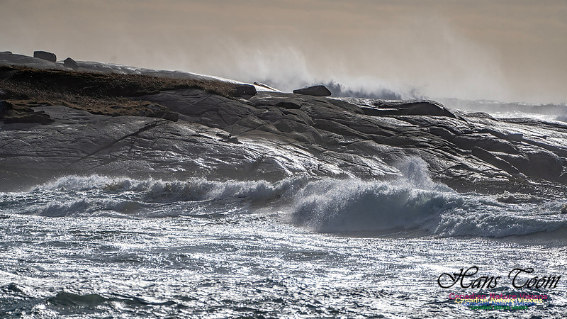
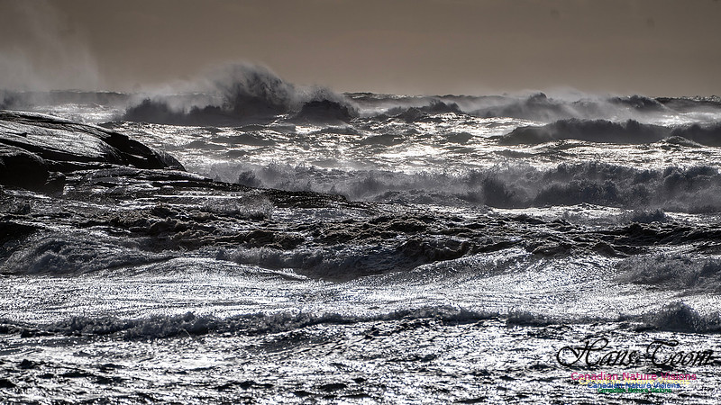
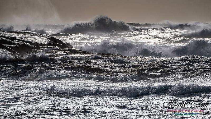
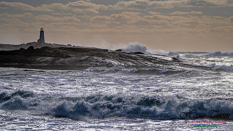
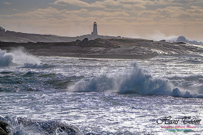
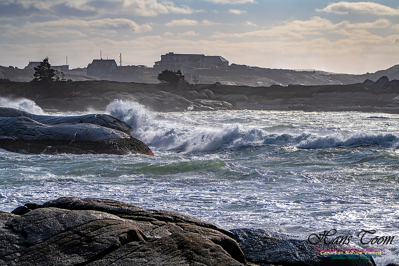
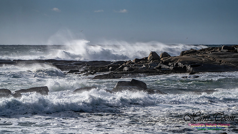
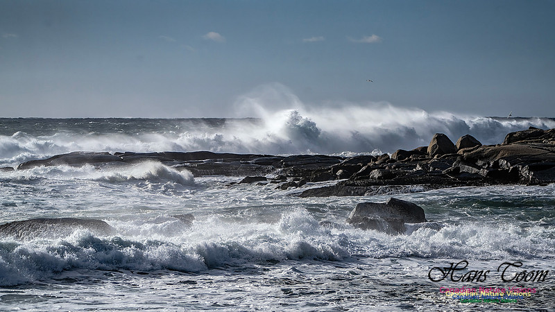
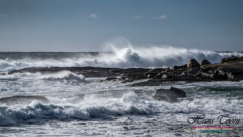
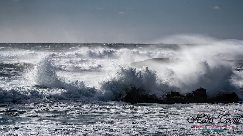
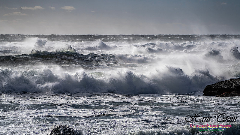
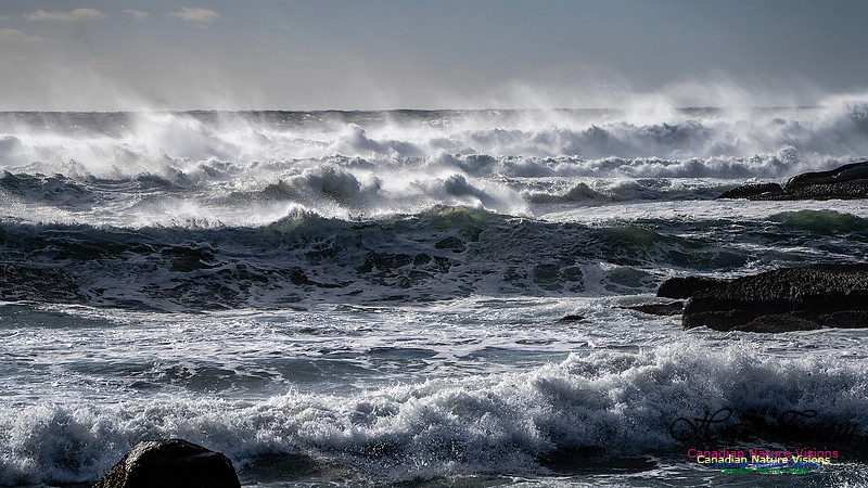
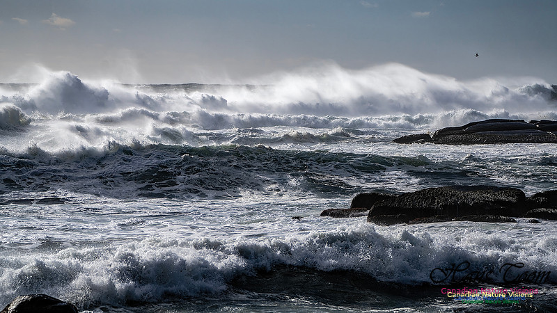
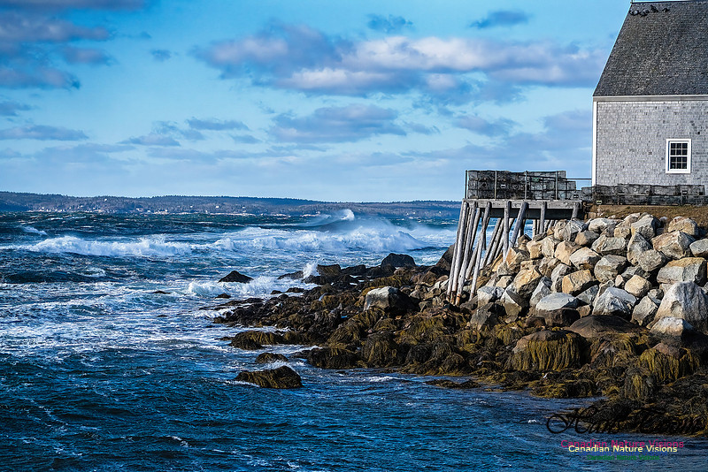
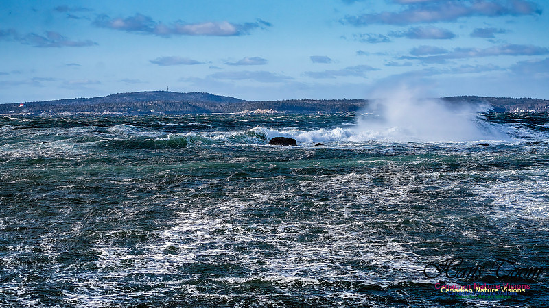
Surf Around Peggy's CoveSurf Around Peggy's Cove, February 3, 2026 Here are a bunch of photos of surf around Peggy's Cove. This surf is a back wash from the Atlantic Ocean since the coast is facing south here and the the wind was from the north.
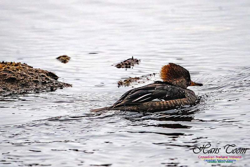
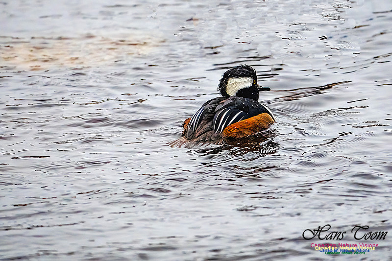
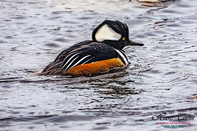
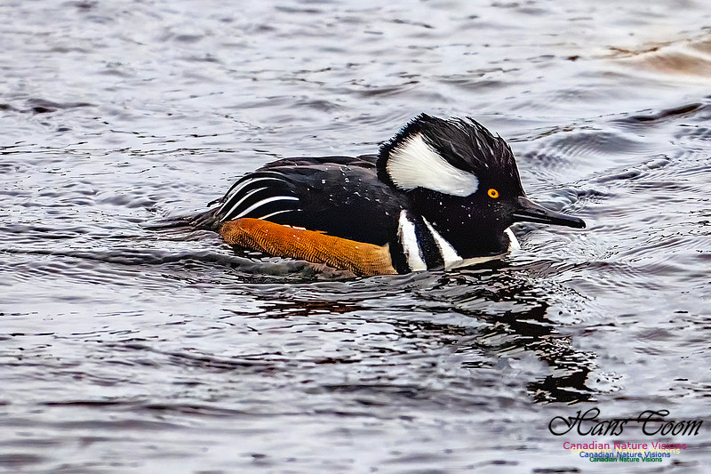
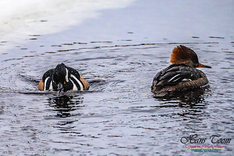
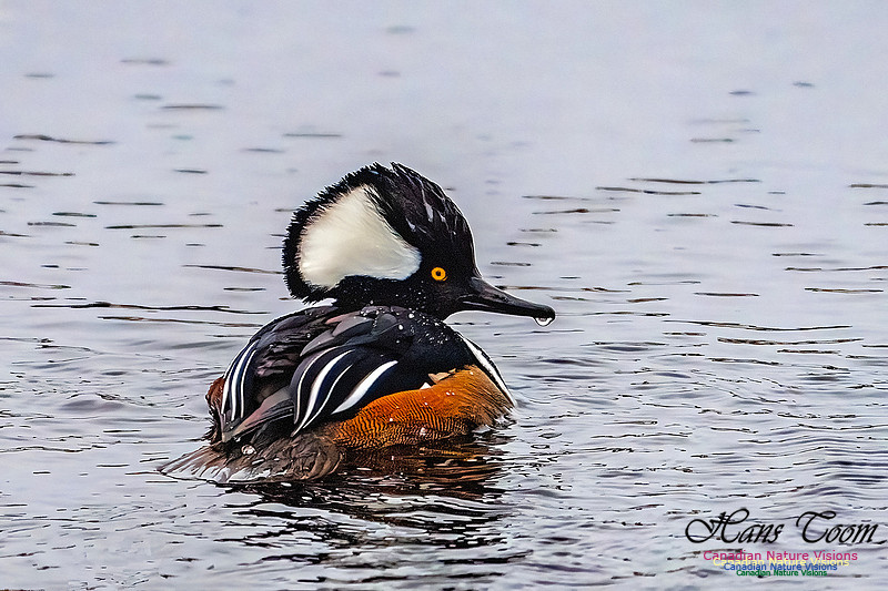
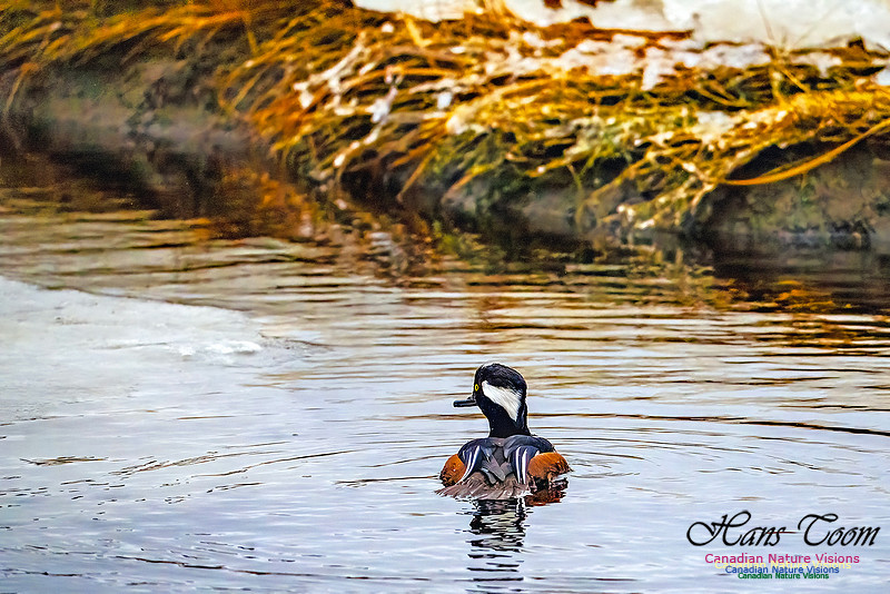
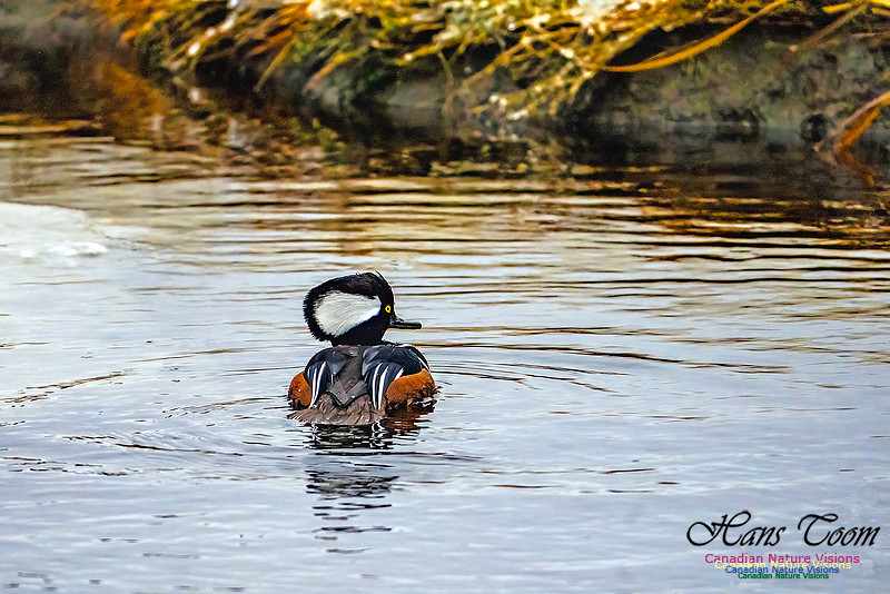
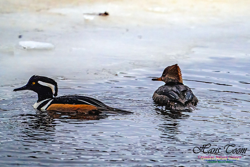
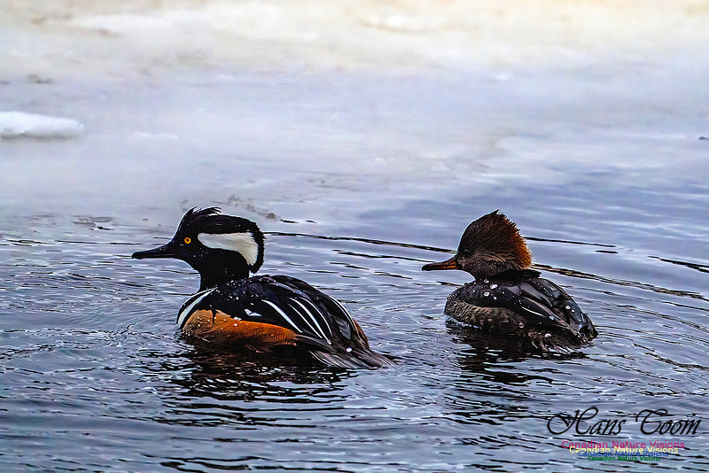
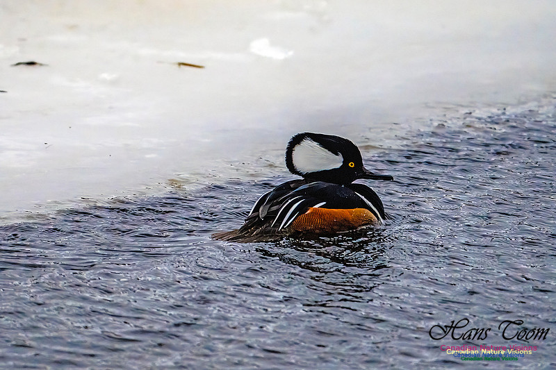
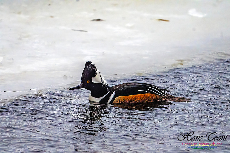
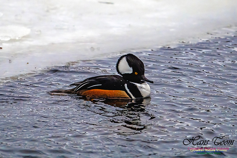
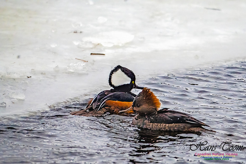
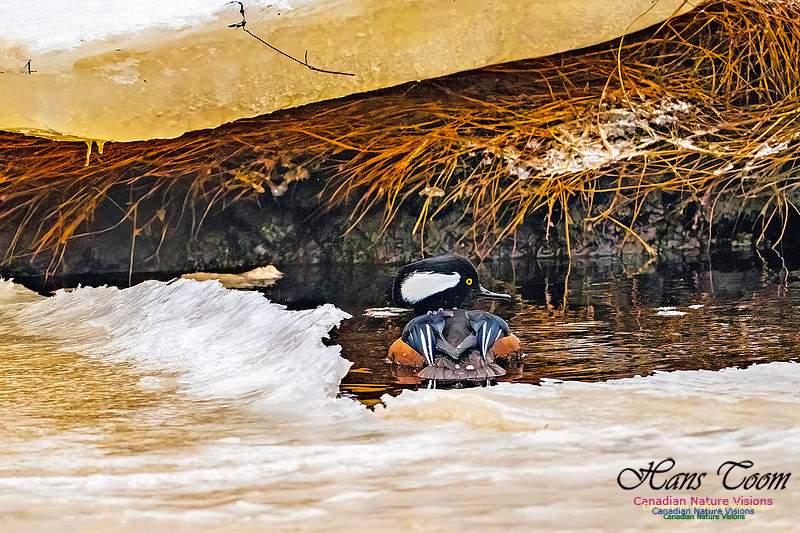
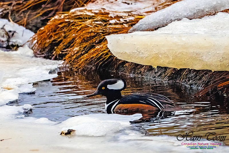
Hooded MerganserThe Hooded Merganser is a hard bird to photograph due to its wariness. I found two males and one female in a partially frozen brackish pond. It is an elegant diving duck usually found off shore in the winter. Hooded Merganser
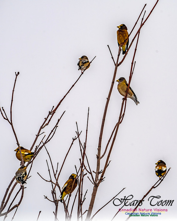
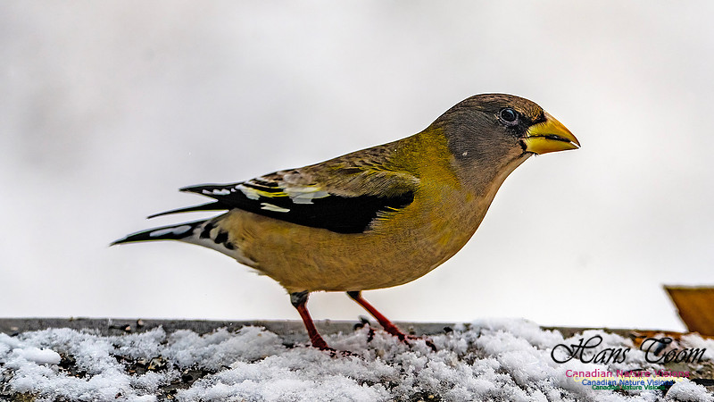
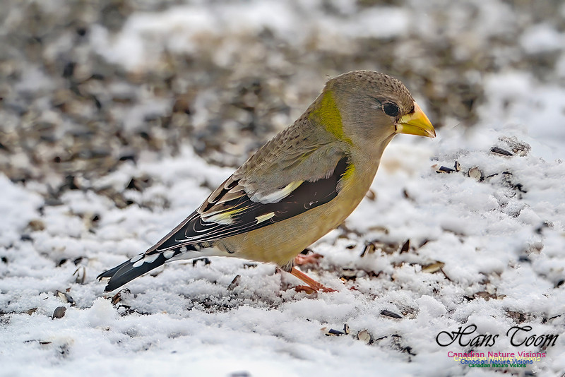
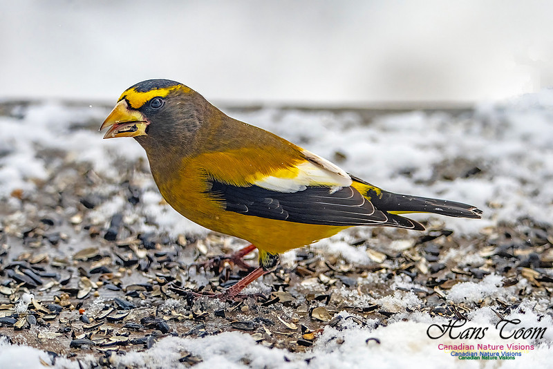
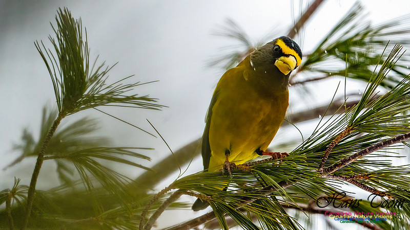
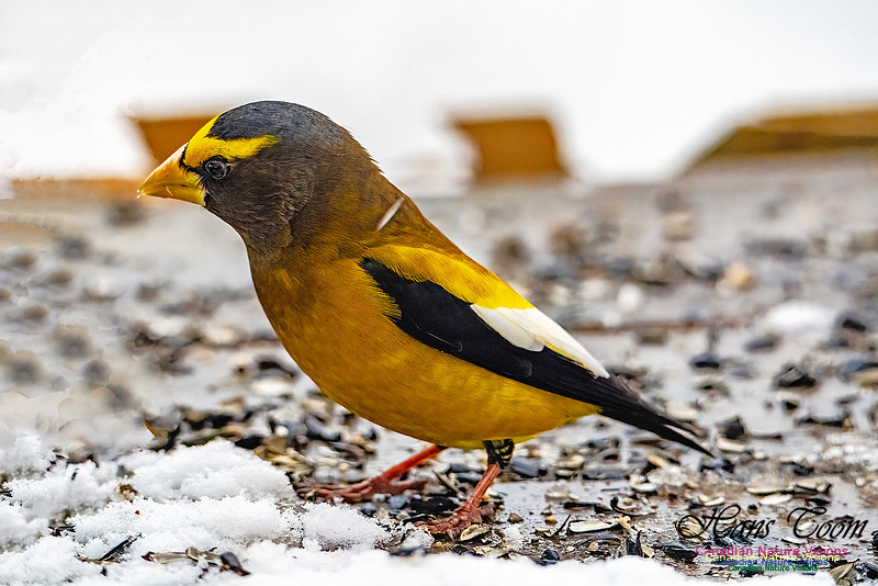
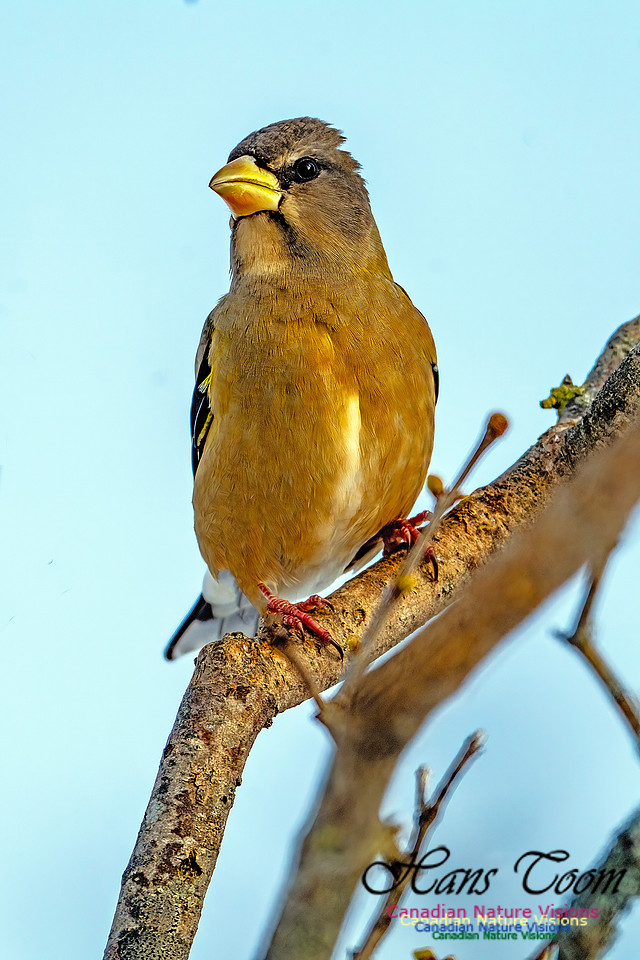
Evening GrosbeakThe Evening Grosbeak is a large finch that is with us year round but this year there has been an irruption because they are everywhere in hundred bird flocks to the delight of bird feeders. Their burnt orange colour is unmatched. Evening Grosbeak
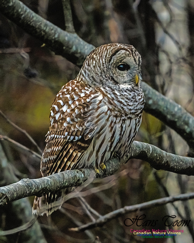
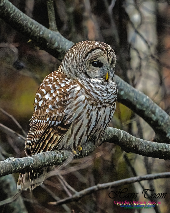
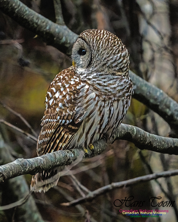
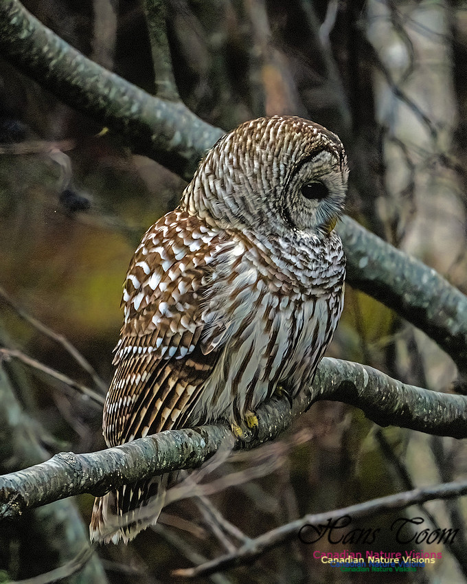
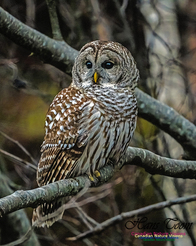
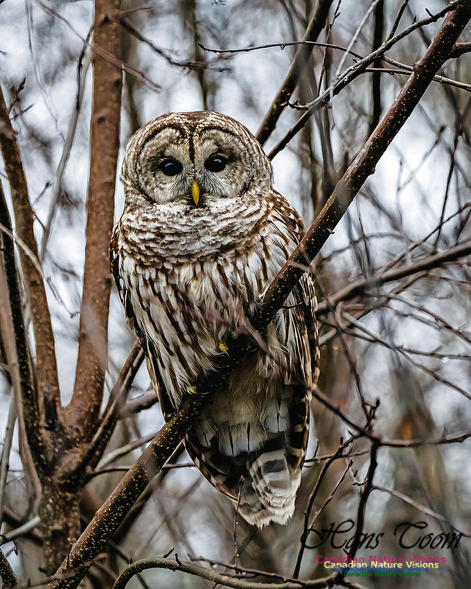
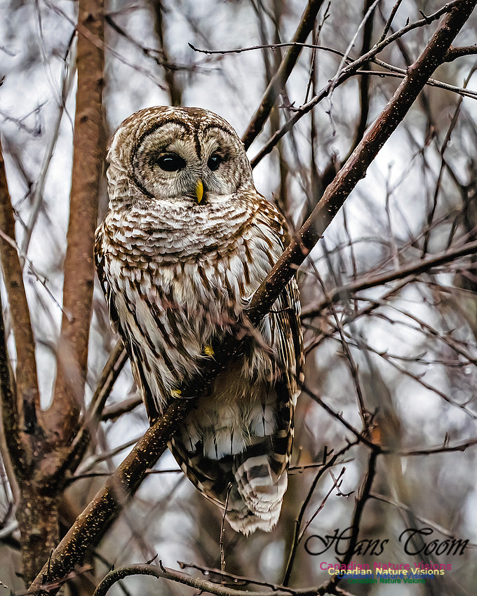
Barred OwlI was literally bump, bump, bumping along the road from Meaghers Grant to Wyses Corner when I spotted a Barred Owl. This sighting was unusual for me since it was my first sighting at eye level. Usually, I'm looking up at these owls. Barred Owl
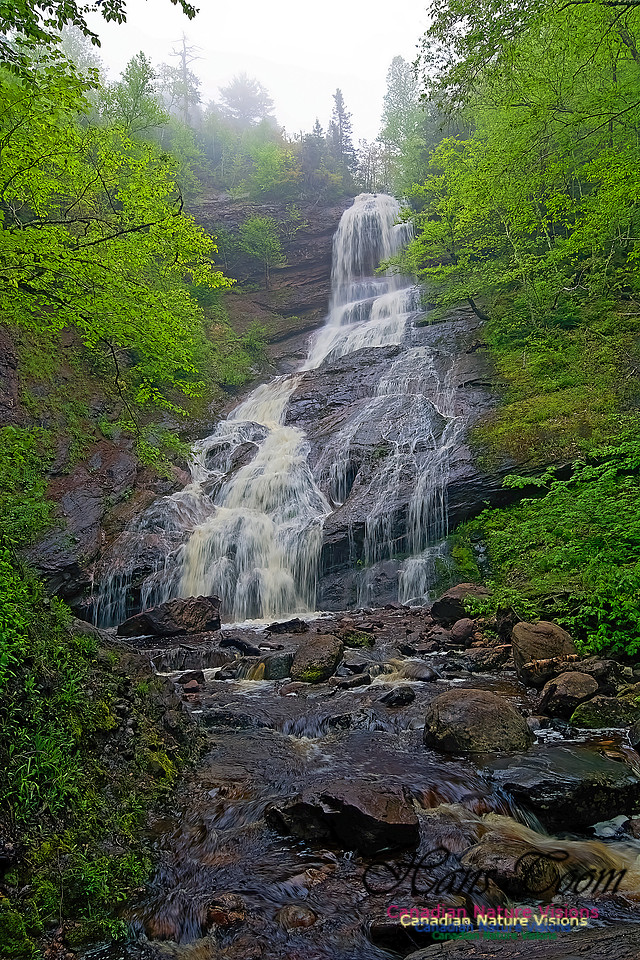
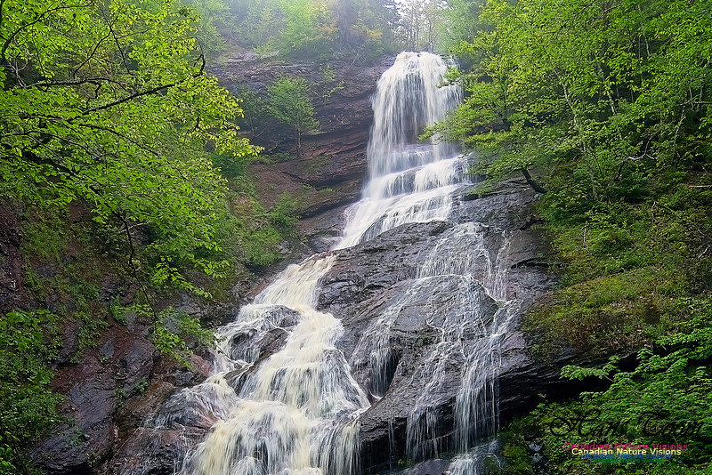
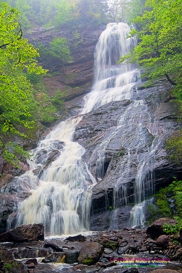
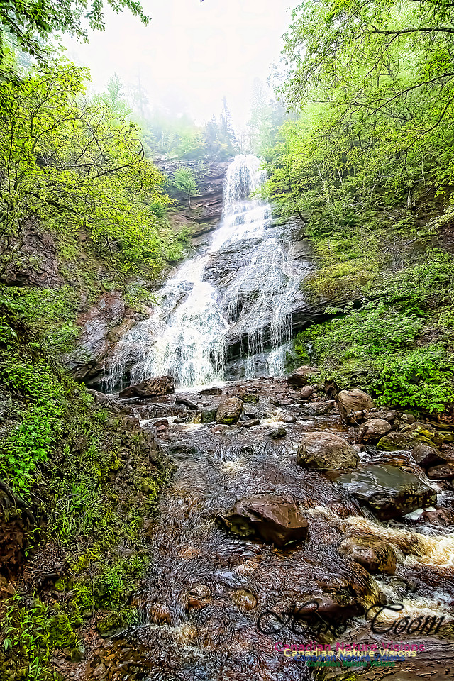
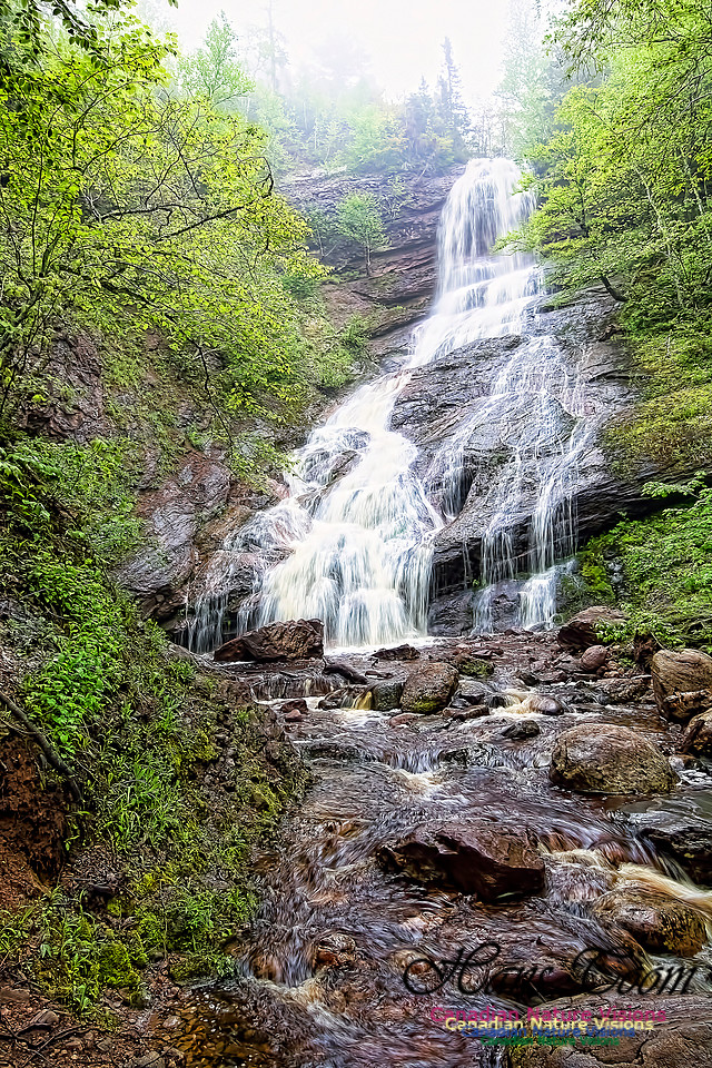
Beulach Ban FallsBeulach Ban Falls
These falls are always a treat on a visit to Cape Breton Highlands National Park.
Beulach Ban Falls
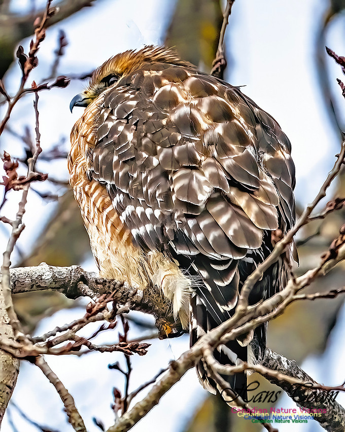
Last Bird of 2025, Red-shouldered HawkMy last photo of 2025 was a Red-shouldered Hawk. It refused to return and face me but at least I got the eye and bill. Red-shouldered Hawk
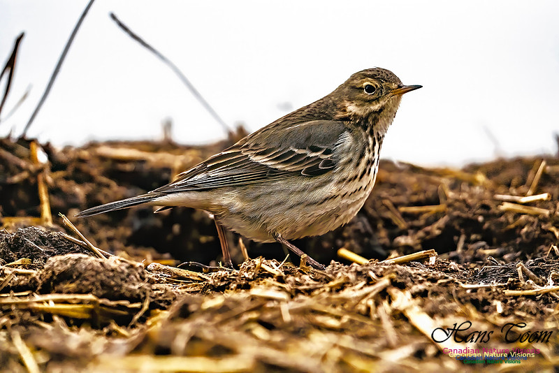
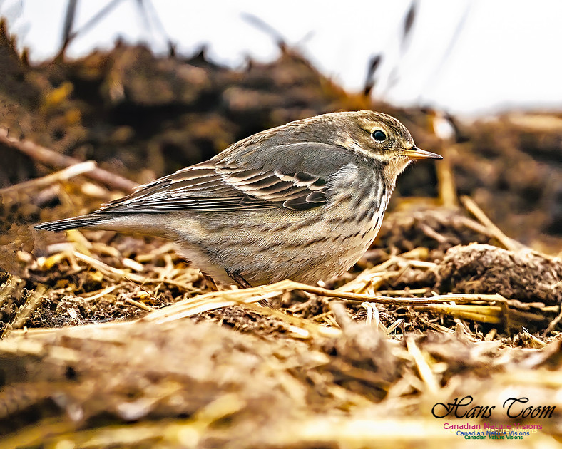
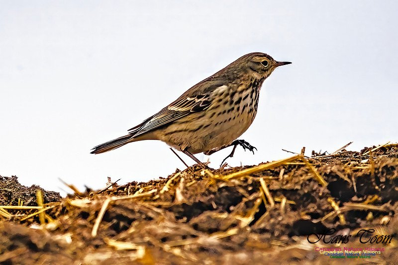
American PipitAmerican Pipit, is an uncommon to rare migrant at the end of December. This was my second last photos of a bird for 2025. American Pipit
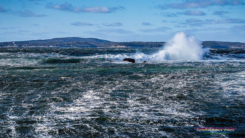
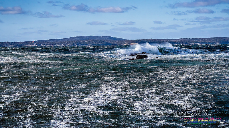
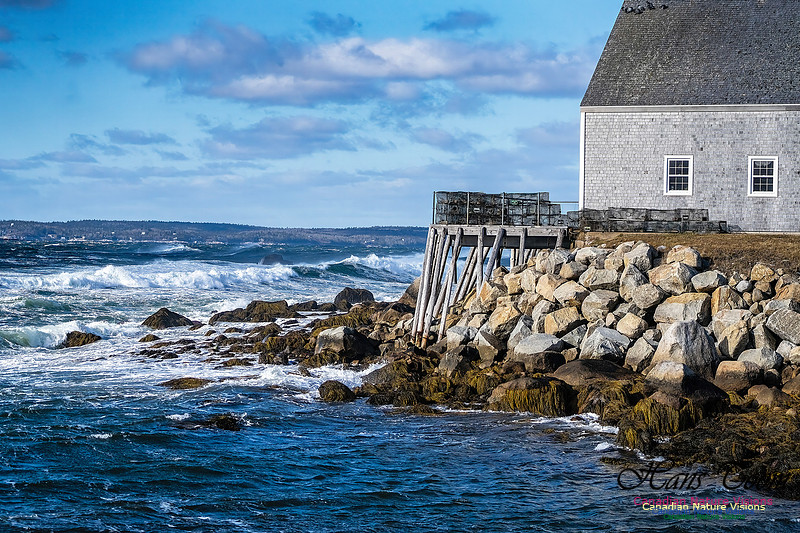
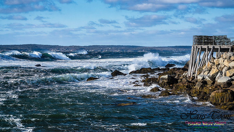
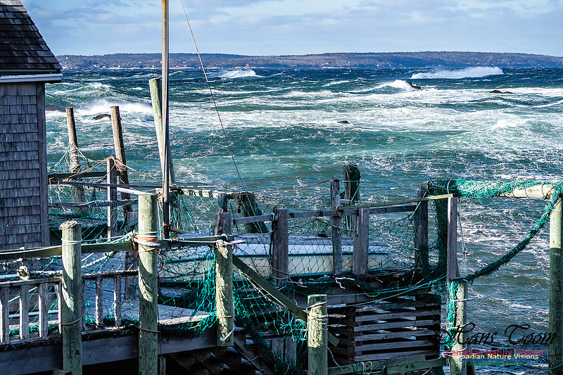
Late Spring Gale along the Chebucto Peninsula-Series ThreeThis is my last set of photos from my, "Late Spring Gale along the Chebucto Peninsula". It takes about three hours to complete this run with 100-300 frames burned depending on the scenes. It's worth it but wait for a strong south wind. Late Spring Gale along the Chebucto Peninsula-Series Three
|